Property Record
40 Potash Rd, Oakland, NJ 07436
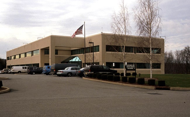

Property Detail
40 Potash Rd
New York-Jersey City-White Plains, NY-NJ
6.985 AC
42-03601-0000-00036
Bergen
Industrialgeneral
New Jersey
IP
36
B and X Area of moderate flood hazard, usually the area between the limits of the 100-year and 500-year floods.
6.99 AC
2024
Western Bergen
2025
Northern New Jersey
039300
NEARBY LISTINGS FOR SALE OR LEASE
DEMOGRAPHICS near 40 Potash Rd
1 mile
3 mile
5 mile
2025 Total Population
4,714
47,804
146,330
2030 Population
4,895
49,810
151,805
Pop Growth 2025-2030
+ 3.84%
+ 4.20%
+ 3.74%
Average Age
44
43
44
2025 Total Households
1,611
16,790
52,420
HH Growth 2025-2030
+ 3.79%
+ 4.12%
+ 3.62%
Median Household Inc
$156,544
$154,408
$139,180
Avg Household Size
2.80
2.80
2.70
2025 Avg HH Vehicles
2.00
2.00
2.00
Median Home Value
$775,503
$682,860
$634,570
Median Year Built
1964
1967
1967
Nearby Places
Map Layers
Map Styles
 Street
 Aerial
Layers
 Traffic
 Biking
Places
Listings with unknown addresses are not visible on the map
- Restaurants
- Banks
- Shops
- Fitness
- Groceries
PUBLIC TRANSPORTATION
COMMUTER RAIL
Waldwick (Bergen County/Port Jervis Line - NJ Transit Commuter Rail (NJ Transit), Main/Port Jervis Line - NJ Transit Commuter Rail (NJ Transit))
Drive
Walk
Distance
Waldwick (Bergen County/Port Jervis Line - NJ Transit Commuter Rail (NJ Transit), Main/Port Jervis Line - NJ Transit Commuter Rail (NJ Transit))
18 min
9.3 mi
Allendale (Bergen County/Port Jervis Line - NJ Transit Commuter Rail (NJ Transit), Main/Port Jervis Line - NJ Transit Commuter Rail (NJ Transit))
Drive
Walk
Distance
Allendale (Bergen County/Port Jervis Line - NJ Transit Commuter Rail (NJ Transit), Main/Port Jervis Line - NJ Transit Commuter Rail (NJ Transit))
20 min
9.9 mi
AIRPORT
Newark Liberty International
Drive
Walk
Distance
Newark Liberty International
43 min
29.8 mi
LaGuardia
Drive
Walk
Distance
LaGuardia
49 min
31.6 mi
Westchester County
Drive
Walk
Distance
Westchester County
61 min
43.4 mi
Freight Ports
Maher Terminal
Drive
Walk
Distance
Maher Terminal
49 min
28.8 mi
Nearby Properties
Address
Land Use
TOTAL SIZE
Lot Size
Zoning
Address
Land Use
TOTAL SIZE
Lot Size
Zoning
128.12 AC
HOBR
Address
Land Use
TOTAL SIZE
Lot Size
Zoning
50.16 AC
CO
Address
Land Use
TOTAL SIZE
Lot Size
Zoning
10.55 AC
IP
Address
Land Use
TOTAL SIZE
Lot Size
Zoning
5.01 AC
IP
Address
Land Use
TOTAL SIZE
Lot Size
Zoning
12.69 AC
A40
Address
Land Use
TOTAL SIZE
Lot Size
Zoning
334,755 SF
107.89 AC
Address
Land Use
TOTAL SIZE
Lot Size
Zoning
8.07 AC
IP
Address
Land Use
TOTAL SIZE
Lot Size
Zoning
14.04 AC
B2
Address
Land Use
TOTAL SIZE
Lot Size
Zoning
79,562 SF
10.33 AC
AHO3
Address
Land Use
TOTAL SIZE
Lot Size
Zoning
10.42 AC
B2
Address
Land Use
TOTAL SIZE
Lot Size
Zoning
231.26 AC
PRC
Address
Land Use
TOTAL SIZE
Lot Size
Zoning
12.45 AC
A225
Address
Land Use
TOTAL SIZE
Lot Size
Zoning
12.49 AC
AHO1
Address
Land Use
TOTAL SIZE
Lot Size
Zoning
98.41 AC
A130
Address
Land Use
TOTAL SIZE
Lot Size
Zoning
13.39 AC
MFAH
Address
Land Use
TOTAL SIZE
Lot Size
Zoning
8.07 AC
SR
Address
Land Use
TOTAL SIZE
Lot Size
Zoning
259,919 SF
48.14 AC
Address
Land Use
TOTAL SIZE
Lot Size
Zoning
2,005 SF
4.62 AC
A225
Address
Land Use
TOTAL SIZE
Lot Size
Zoning
2,738 SF
1.77 AC
RB
Address
Land Use
TOTAL SIZE
Lot Size
Zoning
7.58 AC
R-4
Address
Land Use
TOTAL SIZE
Lot Size
Zoning
28.69 AC
RA-2
Address
Land Use
TOTAL SIZE
Lot Size
Zoning
6 AC
IP
Address
Land Use
TOTAL SIZE
Lot Size
Zoning
8.87 AC
RA1
Address
Land Use
TOTAL SIZE
Lot Size
Zoning
2,372 SF
5 AC
IP
Address
Land Use
TOTAL SIZE
Lot Size
Zoning
4.96 AC
I3
Address
Land Use
TOTAL SIZE
Lot Size
Zoning
36.30 AC
A40
Address
Land Use
TOTAL SIZE
Lot Size
Zoning
2.50 AC
B2
Address
Land Use
TOTAL SIZE
Lot Size
Zoning
357,779 SF
16.98 AC
Address
Land Use
TOTAL SIZE
Lot Size
Zoning
3.07 AC
IP
The World's #1 Commercial Real Estate Marketplace
Connect with us
© 2026 CoStar Group
The information above has been obtained from sources believed reliable. While we do not doubt its accuracy we have not verified it and make no guarantee, warranty or representation about it. It is your responsibility to independently confirm its accuracy and completeness. Any projections, opinions, assumptions, or estimates used are for example only and do not represent the current or future performance of the property. The value of this transaction to you depends on tax and other factors which should be evaluated by your tax, financial, and legal advisors. You and your advisors should conduct a careful, independent investigation of the property to determine to your satisfaction the suitability of the property for your needs.