Property Record
40 Sr, Daytona Beach, FL 32174

Property Detail
40 Sr
4135-00-00-0010
35-14-31 ALL EXC E 520 FT OF N 816 FT & EXC PART PER OR 3933 PG 3270 BEING APPROX W 630 FT OF E 1150 FT ON N/L OF N 816 FT PER OR 4035 PGS 3550-3563 & EXC PARCEL BEING E 790 FT ON S/L OF S 300 FT OF N 1116 FT ON E/L & EXC PARCEL BEING E 535 FT ON S/L
Timberlandforesttreesagricultural
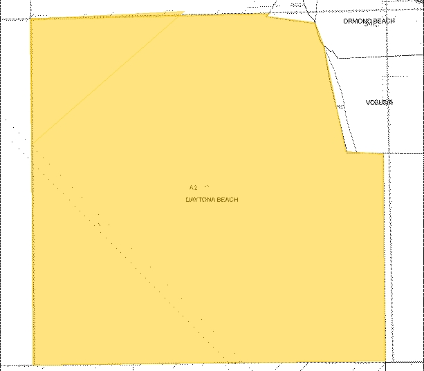
VOLUSIA
01A2
Florida
A Areas with a 1% annual chance of flooding and a 26% chance of flooding over the life of a 30-year mortgage.
374.08 AC
2025
North Daytona Beach
2026
Deltona/Daytona Beach
080807
Deltona-Daytona Beach-Ormond Beach, FL
NEARBY LISTINGS FOR SALE OR LEASE
DEMOGRAPHICS near 40 Sr
1 mile
3 mile
5 mile
2024 Total Population
589
19,451
58,953
2029 Population
640
21,493
64,206
Pop Growth 2024-2029
+ 8.66%
+ 10.50%
+ 8.91%
Average Age
49
47
45
2024 Total Households
227
8,163
25,253
HH Growth 2024-2029
+ 8.81%
+ 10.69%
+ 9.06%
Median Household Inc
$82,065
$89,673
$64,703
Avg Household Size
2.50
2.30
2.20
2024 Avg HH Vehicles
2.00
2.00
2.00
Median Home Value
$548,672
$476,395
$361,981
Median Year Built
1988
2004
1993
Nearby Places
Map Layers
Map Styles
 Street
 Aerial
Transit
 Traffic
 Biking
Places
Listings with unknown addresses are not visible on the map
- Restaurants
- Banks
- Shops
- Fitness
- Groceries
PUBLIC TRANSPORTATION
AIRPORT
Daytona Beach International
Drive
Walk
Distance
Daytona Beach International
16 min
10.0 mi
Freight Ports
Port Canaveral
Drive
Walk
Distance
Port Canaveral
89 min
77.3 mi
Nearby Properties
Address
Land Use
TOTAL SIZE
Lot Size
Zoning
Address
Land Use
TOTAL SIZE
Lot Size
Zoning
849,735 SF
140.62 AC
01A2
Address
Land Use
TOTAL SIZE
Lot Size
Zoning
293,850 SF
29.38 AC
Address
Land Use
TOTAL SIZE
Lot Size
Zoning
491,161 SF
31 AC
Address
Land Use
TOTAL SIZE
Lot Size
Zoning
135,122 SF
78 AC
Address
Land Use
TOTAL SIZE
Lot Size
Zoning
470,843 SF
1.78 AC
RC
Address
Land Use
TOTAL SIZE
Lot Size
Zoning
10,637 SF
0.15 AC
R2
Address
Land Use
TOTAL SIZE
Lot Size
Zoning
409,718 SF
12.86 AC
Address
Land Use
TOTAL SIZE
Lot Size
Zoning
422,146 SF
32.67 AC
Address
Land Use
TOTAL SIZE
Lot Size
Zoning
359,180 SF
29.73 AC
01A2
Address
Land Use
TOTAL SIZE
Lot Size
Zoning
333,708 SF
0.24 AC
01A2
Address
Land Use
TOTAL SIZE
Lot Size
Zoning
158,299 SF
22 AC
Address
Land Use
TOTAL SIZE
Lot Size
Zoning
180,767 SF
27.05 AC
13R6
Address
Land Use
TOTAL SIZE
Lot Size
Zoning
60,873 SF
8.82 AC
Address
Land Use
TOTAL SIZE
Lot Size
Zoning
184,301 SF
50.28 AC
Address
Land Use
TOTAL SIZE
Lot Size
Zoning
184,829 SF
9.71 AC
01A2
Address
Land Use
TOTAL SIZE
Lot Size
Zoning
56,220 SF
13.13 AC
Address
Land Use
TOTAL SIZE
Lot Size
Zoning
100,188 SF
25.55 AC
Address
Land Use
TOTAL SIZE
Lot Size
Zoning
46,751 SF
37.07 AC
Address
Land Use
TOTAL SIZE
Lot Size
Zoning
152,621 SF
18.26 AC
C
Address
Land Use
TOTAL SIZE
Lot Size
Zoning
219,381 SF
25.44 AC
13B8
Address
Land Use
TOTAL SIZE
Lot Size
Zoning
82,156 SF
39.74 AC
MH4
Address
Land Use
TOTAL SIZE
Lot Size
Zoning
2,519.40 AC
Address
Land Use
TOTAL SIZE
Lot Size
Zoning
89,392 SF
17.23 AC
Address
Land Use
TOTAL SIZE
Lot Size
Zoning
148,966 SF
5.54 AC
13B10
Address
Land Use
TOTAL SIZE
Lot Size
Zoning
74,977 SF
3.48 AC
Address
Land Use
TOTAL SIZE
Lot Size
Zoning
112,170 SF
3.58 AC
Address
Land Use
TOTAL SIZE
Lot Size
Zoning
211.63 AC
A2
Address
Land Use
TOTAL SIZE
Lot Size
Zoning
277,814 SF
1.54 AC
R7
Address
Land Use
TOTAL SIZE
Lot Size
Zoning
156,482 SF
27.91 AC
13SE
Address
Land Use
TOTAL SIZE
Lot Size
Zoning
67,203 SF
6.81 AC
The World's #1 Commercial Real Estate Marketplace
Connect with us
© 2026 CoStar Group
The information above has been obtained from sources believed reliable. While we do not doubt its accuracy we have not verified it and make no guarantee, warranty or representation about it. It is your responsibility to independently confirm its accuracy and completeness. Any projections, opinions, assumptions, or estimates used are for example only and do not represent the current or future performance of the property. The value of this transaction to you depends on tax and other factors which should be evaluated by your tax, financial, and legal advisors. You and your advisors should conduct a careful, independent investigation of the property to determine to your satisfaction the suitability of the property for your needs.