Property Record
400 Eastgate Dr, Danville, IL 61834
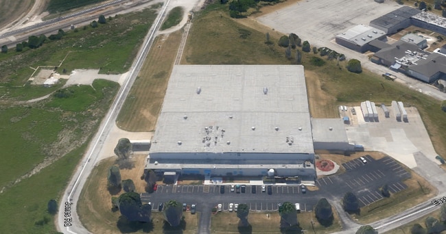

Property Detail
400 Eastgate Dr
Danville, IL
WM CAST SUB PT 7 19 10 & PT 12 19 11 EX RY & EX HY N & ADJ JONES RD E RR S PT L1
24-07-300-018
VERMILION
Industrialgeneral
Illinois
B and X Area of moderate flood hazard, usually the area between the limits of the 100-year and 500-year floods.
1
2025
10.08 AC
2024
Illinois North Area
011200
Other Market Areas
NEARBY LISTINGS FOR SALE OR LEASE
DEMOGRAPHICS near 400 Eastgate Dr
1 mile
3 mile
5 mile
2025 Total Population
33
4,454
20,613
2030 Population
33
4,419
20,373
Pop Growth 2025-2030
0.00%
(0.79%)
(1.16%)
Average Age
44
40
39
2025 Total Households
7
1,321
7,685
HH Growth 2025-2030
0.00%
(0.83%)
(1.34%)
Median Household Inc
$87,500
$36,875
$35,173
Avg Household Size
2.10
2.40
2.30
2025 Avg HH Vehicles
2.00
1.00
1.00
Median Home Value
$125,000
$74,795
$71,896
Median Year Built
1964
1949
1949
Nearby Places
Map Layers
Map Styles
 Street
 Aerial
Layers
 Traffic
 Biking
Places
Listings with unknown addresses are not visible on the map
- Restaurants
- Banks
- Shops
- Fitness
- Groceries
Nearby Properties
Address
Land Use
TOTAL SIZE
Lot Size
Zoning
Address
Land Use
TOTAL SIZE
Lot Size
Zoning
74.52 AC
Address
Land Use
TOTAL SIZE
Lot Size
Zoning
42.57 AC
Address
Land Use
TOTAL SIZE
Lot Size
Zoning
62.18 AC
Address
Land Use
TOTAL SIZE
Lot Size
Zoning
43.87 AC
Address
Land Use
TOTAL SIZE
Lot Size
Zoning
8.43 AC
Address
Land Use
TOTAL SIZE
Lot Size
Zoning
15.21 AC
Address
Land Use
TOTAL SIZE
Lot Size
Zoning
Address
Land Use
TOTAL SIZE
Lot Size
Zoning
19.35 AC
Address
Land Use
TOTAL SIZE
Lot Size
Zoning
95.95 AC
Address
Land Use
TOTAL SIZE
Lot Size
Zoning
22.67 AC
Address
Land Use
TOTAL SIZE
Lot Size
Zoning
40.25 AC
Address
Land Use
TOTAL SIZE
Lot Size
Zoning
3.40 AC
Address
Land Use
TOTAL SIZE
Lot Size
Zoning
58.75 AC
Address
Land Use
TOTAL SIZE
Lot Size
Zoning
61.19 AC
Address
Land Use
TOTAL SIZE
Lot Size
Zoning
15.56 AC
Address
Land Use
TOTAL SIZE
Lot Size
Zoning
1.57 AC
Address
Land Use
TOTAL SIZE
Lot Size
Zoning
13.48 AC
Address
Land Use
TOTAL SIZE
Lot Size
Zoning
3.29 AC
Address
Land Use
TOTAL SIZE
Lot Size
Zoning
55.15 AC
Address
Land Use
TOTAL SIZE
Lot Size
Zoning
5.84 AC
Address
Land Use
TOTAL SIZE
Lot Size
Zoning
2.22 AC
Address
Land Use
TOTAL SIZE
Lot Size
Zoning
340 AC
Address
Land Use
TOTAL SIZE
Lot Size
Zoning
10.39 AC
Address
Land Use
TOTAL SIZE
Lot Size
Zoning
10.69 AC
Address
Land Use
TOTAL SIZE
Lot Size
Zoning
8.84 AC
Address
Land Use
TOTAL SIZE
Lot Size
Zoning
Address
Land Use
TOTAL SIZE
Lot Size
Zoning
1.14 AC
Address
Land Use
TOTAL SIZE
Lot Size
Zoning
2.40 AC
Address
Land Use
TOTAL SIZE
Lot Size
Zoning
The World's #1 Commercial Real Estate Marketplace
Connect with us
© 2026 CoStar Group
The information above has been obtained from sources believed reliable. While we do not doubt its accuracy we have not verified it and make no guarantee, warranty or representation about it. It is your responsibility to independently confirm its accuracy and completeness. Any projections, opinions, assumptions, or estimates used are for example only and do not represent the current or future performance of the property. The value of this transaction to you depends on tax and other factors which should be evaluated by your tax, financial, and legal advisors. You and your advisors should conduct a careful, independent investigation of the property to determine to your satisfaction the suitability of the property for your needs.