Property Record
400 W Valpico Rd, Tracy, CA 95376
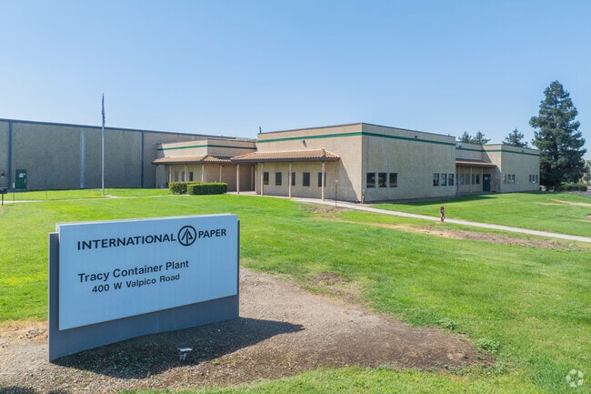

Property Detail
400 W Valpico Rd
248-020-03
REDRAW 881026 FR ORIG APN 237190301
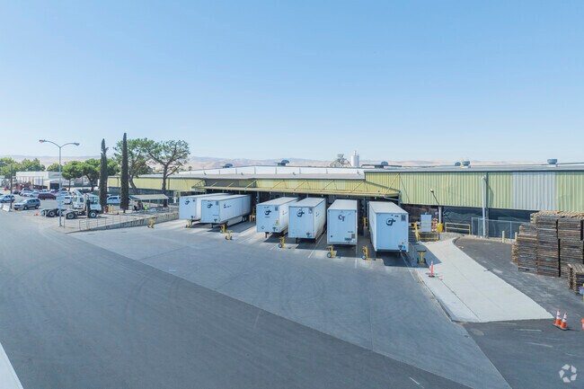
Heavyindustrial
San Joaquin
B and X Area of moderate flood hazard, usually the area between the limits of the 100-year and 500-year floods.
California
2025
18.70 AC
2025
Tracy
005219
Stockton/Modesto
382,260 SF
Stockton-Lodi, CA
NEARBY LISTINGS FOR SALE OR LEASE
DEMOGRAPHICS near 400 W Valpico Rd
1 mile
3 mile
5 mile
2025 Total Population
20,609
79,075
106,896
2030 Population
21,611
83,026
112,151
Pop Growth 2025-2030
+ 4.86%
+ 5.00%
+ 4.92%
Average Age
38
38
38
2025 Total Households
5,987
23,563
31,943
HH Growth 2025-2030
+ 4.83%
+ 5.02%
+ 4.96%
Median Household Inc
$139,561
$128,251
$122,432
Avg Household Size
3.40
3.30
3.30
2025 Avg HH Vehicles
3.00
3.00
3.00
Median Home Value
$758,136
$745,984
$738,043
Median Year Built
1998
1996
1995
Nearby Places
Map Layers
Map Styles
 Street
 Aerial
Transit
 Traffic
 Biking
Places
Listings with unknown addresses are not visible on the map
- Restaurants
- Banks
- Shops
- Fitness
- Groceries
PUBLIC TRANSPORTATION
COMMUTER RAIL
Drive
Walk
Distance
5 min
1.5 mi
AIRPORT
Stockton Metro
Drive
Walk
Distance
Stockton Metro
31 min
20.6 mi
Freight Ports
Port of Stockton
Drive
Walk
Distance
Port of Stockton
33 min
24.2 mi
Nearby Properties
Address
Land Use
TOTAL SIZE
Lot Size
Zoning
Address
Land Use
TOTAL SIZE
Lot Size
Zoning
3.77 AC
Address
Land Use
TOTAL SIZE
Lot Size
Zoning
1,124,201 SF
53.72 AC
Address
Land Use
TOTAL SIZE
Lot Size
Zoning
22,926 SF
11.63 AC
Address
Land Use
TOTAL SIZE
Lot Size
Zoning
115.53 AC
IG
Address
Land Use
TOTAL SIZE
Lot Size
Zoning
29,442 SF
6.52 AC
Address
Land Use
TOTAL SIZE
Lot Size
Zoning
143,280 SF
20 AC
Address
Land Use
TOTAL SIZE
Lot Size
Zoning
265,868 SF
11.99 AC
Address
Land Use
TOTAL SIZE
Lot Size
Zoning
225,000 SF
11.13 AC
M
Address
Land Use
TOTAL SIZE
Lot Size
Zoning
258,520 SF
16.74 AC
Address
Land Use
TOTAL SIZE
Lot Size
Zoning
6,000 SF
22.88 AC
IL
Address
Land Use
TOTAL SIZE
Lot Size
Zoning
32.90 AC
Address
Land Use
TOTAL SIZE
Lot Size
Zoning
155,942 SF
11.90 AC
Address
Land Use
TOTAL SIZE
Lot Size
Zoning
65.83 AC
Address
Land Use
TOTAL SIZE
Lot Size
Zoning
95.54 AC
Address
Land Use
TOTAL SIZE
Lot Size
Zoning
10,202 SF
4.50 AC
Address
Land Use
TOTAL SIZE
Lot Size
Zoning
6,500 SF
86.80 AC
IG
Address
Land Use
TOTAL SIZE
Lot Size
Zoning
158,064 SF
10.01 AC
Address
Land Use
TOTAL SIZE
Lot Size
Zoning
62,246 SF
5.82 AC
NS
Address
Land Use
TOTAL SIZE
Lot Size
Zoning
506,552 SF
22.01 AC
Address
Land Use
TOTAL SIZE
Lot Size
Zoning
204,641 SF
10.97 AC
Address
Land Use
TOTAL SIZE
Lot Size
Zoning
47,064 SF
2.36 AC
GC
Address
Land Use
TOTAL SIZE
Lot Size
Zoning
11,375 SF
4.51 AC
Address
Land Use
TOTAL SIZE
Lot Size
Zoning
620,000 SF
32.08 AC
Address
Land Use
TOTAL SIZE
Lot Size
Zoning
65,715 SF
5.01 AC
Address
Land Use
TOTAL SIZE
Lot Size
Zoning
1,600 SF
3.63 AC
Address
Land Use
TOTAL SIZE
Lot Size
Zoning
60,305 SF
3.22 AC
Address
Land Use
TOTAL SIZE
Lot Size
Zoning
58,551 SF
5.77 AC
Address
Land Use
TOTAL SIZE
Lot Size
Zoning
29.82 AC
AU20
Address
Land Use
TOTAL SIZE
Lot Size
Zoning
30,659 SF
4.99 AC
The World's #1 Commercial Real Estate Marketplace
Connect with us
© 2026 CoStar Group
The information above has been obtained from sources believed reliable. While we do not doubt its accuracy we have not verified it and make no guarantee, warranty or representation about it. It is your responsibility to independently confirm its accuracy and completeness. Any projections, opinions, assumptions, or estimates used are for example only and do not represent the current or future performance of the property. The value of this transaction to you depends on tax and other factors which should be evaluated by your tax, financial, and legal advisors. You and your advisors should conduct a careful, independent investigation of the property to determine to your satisfaction the suitability of the property for your needs.