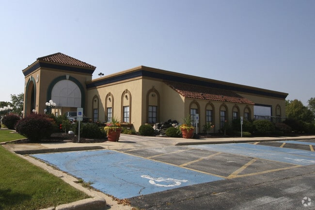
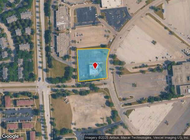
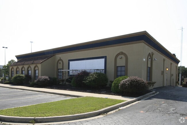
Property Record
4000 Fox Valley Center Dr, Aurora, IL 60504
NEARBY LISTINGS FOR SALE OR LEASE
Property Detail
4000 Fox Valley Center Dr
Chicago-Naperville-Elgin, IL-IN-WI
Fox Valley East Region 1 Unit No 6
07-21-307-002
FOX VALLEY EAST REGION 1 UNIT NO 6 ALL
Commercialnec
DuPage
X
Illinois
17043C0139J
2
2024
1.89 AC
2024
Western East/West Corr
846509
Chicago
8,219 SF
DEMOGRAPHICS near 4000 Fox Valley Center Dr
1 Mile
3 Mile
5 Mile
2024 Total Population
12,514
94,429
258,394
2029 Population
12,568
93,353
256,243
Pop Growth 2024-2029
+ 0.43%
(1.14%)
(0.83%)
Average Age
35
38
38
2024 Total Households
4,919
34,754
90,417
HH Growth 2024-2029
+ 0.33%
(1.22%)
(0.84%)
Median Household Inc
$94,584
$110,275
$106,367
Avg Household Size
2.50
2.70
2.80
2024 Avg HH Vehicles
2.00
2.00
2.00
Median Home Value
$256,382
$342,200
$346,478
Median Year Built
1995
1993
1989
Nearby Places
Map Layers
Map Styles
 Street
 Aerial
- Restaurants
- Banks
- Shops
- Fitness
- Groceries
PUBLIC TRANSPORTATION
COMMUTER RAIL
Route 59 Station (Burlington Northern-Santa Fe Railway Line - Northeast Illinois Regional Commuter Railroad (Metra))
DRIVE
WALK
Distance
Route 59 Station (Burlington Northern-Santa Fe Railway Line - Northeast Illinois Regional Commuter Railroad (Metra))
7 min
2.7 mi
Naperville Station (Burlington Northern-Santa Fe Railway Line - Northeast Illinois Regional Commuter Railroad (Metra))
DRIVE
WALK
Distance
Naperville Station (Burlington Northern-Santa Fe Railway Line - Northeast Illinois Regional Commuter Railroad (Metra))
12 min
5.3 mi
AIRPORT
Chicago Midway International
DRIVE
WALK
Distance
Chicago Midway International
53 min
27.2 mi
Chicago O'Hare International
DRIVE
WALK
Distance
Chicago O'Hare International
63 min
31.6 mi
Nearby Properties
Address
Land Use
TOTAL SIZE
Lot Size
Zoning
Address
Land Use
TOTAL SIZE
Lot Size
Zoning
916,143 SF
32.66 AC
Address
Land Use
TOTAL SIZE
Lot Size
Zoning
28.52 AC
R
Address
Land Use
TOTAL SIZE
Lot Size
Zoning
29.20 AC
C
Address
Land Use
TOTAL SIZE
Lot Size
Zoning
20.60 AC
Address
Land Use
TOTAL SIZE
Lot Size
Zoning
41.42 AC
Address
Land Use
TOTAL SIZE
Lot Size
Zoning
31.66 AC
C
Address
Land Use
TOTAL SIZE
Lot Size
Zoning
19.92 AC
C
Address
Land Use
TOTAL SIZE
Lot Size
Zoning
17.70 AC
Address
Land Use
TOTAL SIZE
Lot Size
Zoning
Address
Land Use
TOTAL SIZE
Lot Size
Zoning
Address
Land Use
TOTAL SIZE
Lot Size
Zoning
829,087 SF
35.83 AC
C
Address
Land Use
TOTAL SIZE
Lot Size
Zoning
684,925 SF
25.63 AC
Address
Land Use
TOTAL SIZE
Lot Size
Zoning
25 AC
M
Address
Land Use
TOTAL SIZE
Lot Size
Zoning
283,844 SF
16.06 AC
M
Address
Land Use
TOTAL SIZE
Lot Size
Zoning
20.97 AC
R
Address
Land Use
TOTAL SIZE
Lot Size
Zoning
17.84 AC
M
Address
Land Use
TOTAL SIZE
Lot Size
Zoning
16.15 AC
M
Address
Land Use
TOTAL SIZE
Lot Size
Zoning
15.61 AC
M
Address
Land Use
TOTAL SIZE
Lot Size
Zoning
522,457 SF
29.33 AC
I
Address
Land Use
TOTAL SIZE
Lot Size
Zoning
16.86 AC
C
Address
Land Use
TOTAL SIZE
Lot Size
Zoning
12.70 AC
Address
Land Use
TOTAL SIZE
Lot Size
Zoning
11.02 AC
M
Address
Land Use
TOTAL SIZE
Lot Size
Zoning
9.83 AC
C
Address
Land Use
TOTAL SIZE
Lot Size
Zoning
293,121 SF
9.50 AC
Address
Land Use
TOTAL SIZE
Lot Size
Zoning
594,880 SF
29.15 AC
I
Address
Land Use
TOTAL SIZE
Lot Size
Zoning
173,303 SF
19.53 AC
Address
Land Use
TOTAL SIZE
Lot Size
Zoning
10 AC
C
Address
Land Use
TOTAL SIZE
Lot Size
Zoning
479,470 SF
24.67 AC
I
Address
Land Use
TOTAL SIZE
Lot Size
Zoning
342,257 SF
31.05 AC
C
Address
Land Use
TOTAL SIZE
Lot Size
Zoning
133,779 SF
9.77 AC
C
The World's #1 Commercial Real Estate Marketplace
Connect with us
© 2025 CoStar Group
The information above has been obtained from sources believed reliable. While we do not doubt its accuracy we have not verified it and make no guarantee, warranty or representation about it. It is your responsibility to independently confirm its accuracy and completeness. Any projections, opinions, assumptions, or estimates used are for example only and do not represent the current or future performance of the property. The value of this transaction to you depends on tax and other factors which should be evaluated by your tax, financial, and legal advisors. You and your advisors should conduct a careful, independent investigation of the property to determine to your satisfaction the suitability of the property for your needs.