Property Record
4004 Spruce View Dr, Charlotte, NC 28262


NEARBY LISTINGS FOR SALE OR LEASE
-
-
View all Charlotte listings for sale on LoopNet.com
Property Detail
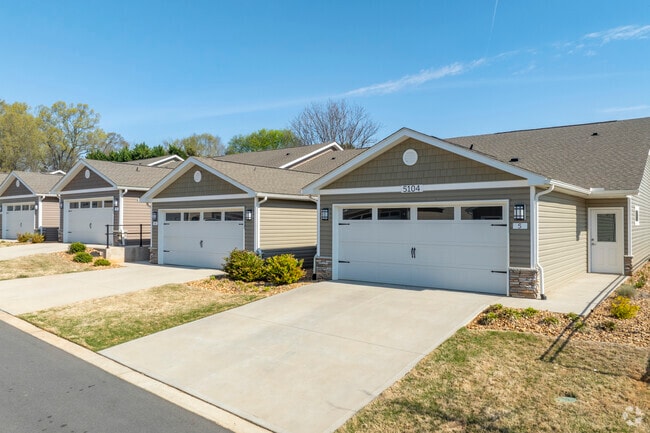
4004 Spruce View Dr
051-071-04
L1 M72-591
Multifamilydwelling
Mecklenburg
X
North Carolina
3710459700M
1
2024
20.28 AC
2025
Harris-Houston
005611
Charlotte
96,932 SF
Charlotte-Concord-Gastonia, NC-SC
DEMOGRAPHICS near 4004 Spruce View Dr
1 mile
3 mile
5 mile
2024 Total Population
7,859
61,615
151,641
2029 Population
8,351
65,684
163,885
Pop Growth 2024-2029
+ 6.26%
+ 6.60%
+ 8.07%
Average Age
34
34
35
2024 Total Households
3,036
24,299
58,197
HH Growth 2024-2029
+ 6.26%
+ 6.47%
+ 7.59%
Median Household Inc
$54,290
$61,251
$73,724
Avg Household Size
2.50
2.50
2.50
2024 Avg HH Vehicles
2.00
2.00
2.00
Median Home Value
$246,265
$274,202
$284,093
Median Year Built
1997
2001
2001
Nearby Places
Map Layers
Map Styles
 Street
 Aerial
Transit
 Traffic
 Biking
Places
Listings with unknown addresses are not visible on the map
- Restaurants
- Banks
- Shops
- Fitness
- Groceries
PUBLIC TRANSPORTATION
AIRPORT
Concord-Padgett Regional
Drive
Walk
Distance
Concord-Padgett Regional
14 min
7.2 mi
Charlotte/Douglas International
Drive
Walk
Distance
Charlotte/Douglas International
34 min
20.2 mi
Nearby Properties
Address
Land Use
TOTAL SIZE
Lot Size
Zoning
Address
Land Use
TOTAL SIZE
Lot Size
Zoning
2,022,784 SF
654.80 AC
INST
Address
Land Use
TOTAL SIZE
Lot Size
Zoning
154,304 SF
857.72 AC
PID
Address
Land Use
TOTAL SIZE
Lot Size
Zoning
381,490 SF
29.24 AC
C-2
Address
Land Use
TOTAL SIZE
Lot Size
Zoning
1,532,477 SF
92.30 AC
RE1
Address
Land Use
TOTAL SIZE
Lot Size
Zoning
727,169 SF
6.07 AC
INST
Address
Land Use
TOTAL SIZE
Lot Size
Zoning
389,720 SF
33.83 AC
R12MFCD
Address
Land Use
TOTAL SIZE
Lot Size
Zoning
471,271 SF
24.30 AC
MUDD-O
Address
Land Use
TOTAL SIZE
Lot Size
Zoning
324,349 SF
4.69 AC
C-2
Address
Land Use
TOTAL SIZE
Lot Size
Zoning
412,078 SF
27.46 AC
R17MFCD
Address
Land Use
TOTAL SIZE
Lot Size
Zoning
16,601 SF
7.42 AC
R-12MF(CD)
Address
Land Use
TOTAL SIZE
Lot Size
Zoning
346,666 SF
26.53 AC
R17MFCD
Address
Land Use
TOTAL SIZE
Lot Size
Zoning
389,680 SF
28.83 AC
R17MFCD
Address
Land Use
TOTAL SIZE
Lot Size
Zoning
324,898 SF
22.31 AC
R17MFCD
Address
Land Use
TOTAL SIZE
Lot Size
Zoning
347,856 SF
21.16 AC
R17MFCD
Address
Land Use
TOTAL SIZE
Lot Size
Zoning
284,360 SF
21.68 AC
R12MFCD
Address
Land Use
TOTAL SIZE
Lot Size
Zoning
57,268 SF
25.88 AC
C-2
Address
Land Use
TOTAL SIZE
Lot Size
Zoning
549,120 SF
5.29 AC
NS
Address
Land Use
TOTAL SIZE
Lot Size
Zoning
300,275 SF
20.78 AC
MX2
Address
Land Use
TOTAL SIZE
Lot Size
Zoning
306,269 SF
9.44 AC
MUDD-O
Address
Land Use
TOTAL SIZE
Lot Size
Zoning
333,498 SF
17.66 AC
R3
Address
Land Use
TOTAL SIZE
Lot Size
Zoning
306,583 SF
24.15 AC
Address
Land Use
TOTAL SIZE
Lot Size
Zoning
357,469 SF
49.75 AC
Address
Land Use
TOTAL SIZE
Lot Size
Zoning
276,596 SF
41.26 AC
Address
Land Use
TOTAL SIZE
Lot Size
Zoning
330,598 SF
20.29 AC
Address
Land Use
TOTAL SIZE
Lot Size
Zoning
260,820 SF
14.72 AC
R3
Address
Land Use
TOTAL SIZE
Lot Size
Zoning
360,683 SF
16.84 AC
R12MF
Address
Land Use
TOTAL SIZE
Lot Size
Zoning
262,196 SF
21.30 AC
Address
Land Use
TOTAL SIZE
Lot Size
Zoning
261,156 SF
12.65 AC
RE1
Address
Land Use
TOTAL SIZE
Lot Size
Zoning
312,297 SF
18.28 AC
RE-3(O)
Address
Land Use
TOTAL SIZE
Lot Size
Zoning
367,468 SF
20.10 AC
R17MFCD
The World's #1 Commercial Real Estate Marketplace
Connect with us
© 2026 CoStar Group
The information above has been obtained from sources believed reliable. While we do not doubt its accuracy we have not verified it and make no guarantee, warranty or representation about it. It is your responsibility to independently confirm its accuracy and completeness. Any projections, opinions, assumptions, or estimates used are for example only and do not represent the current or future performance of the property. The value of this transaction to you depends on tax and other factors which should be evaluated by your tax, financial, and legal advisors. You and your advisors should conduct a careful, independent investigation of the property to determine to your satisfaction the suitability of the property for your needs.