Property Record
401 Us 401 Hwy, Youngsville, NC 27596


NEARBY LISTINGS FOR SALE OR LEASE
-
-
View all Youngsville listings for sale on LoopNet.com
Property Detail
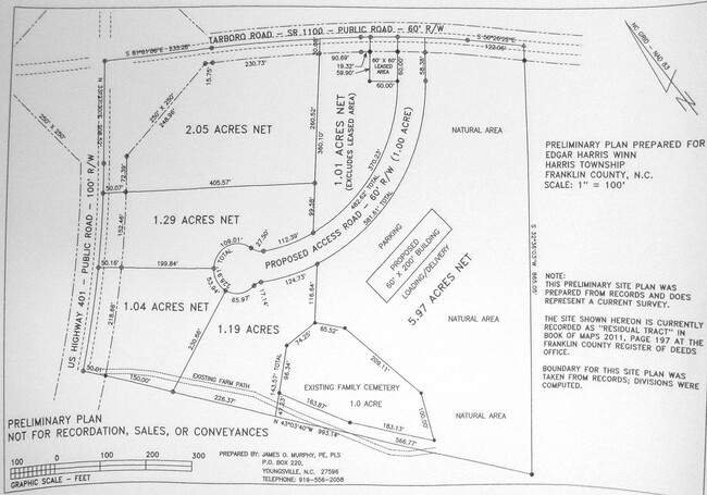
401 Us 401 Hwy
004156
Winn
Vacantlandnec
Franklin
X
North Carolina
3720188000K
13.27 AC
2025
Franklin County
2025
Raleigh/Durham
060502
Raleigh, NC
DEMOGRAPHICS near 401 Us 401 Hwy
1 Mile
3 Mile
5 Mile
2024 Total Population
870
7,496
20,445
2029 Population
1,049
8,983
24,216
Pop Growth 2024-2029
+ 20.57%
+ 19.84%
+ 18.44%
Average Age
40
40
40
2024 Total Households
328
2,817
7,450
HH Growth 2024-2029
+ 20.73%
+ 19.81%
+ 18.52%
Median Household Inc
$68,035
$76,442
$84,879
Avg Household Size
2.70
2.60
2.70
2024 Avg HH Vehicles
2.00
2.00
2.00
Median Home Value
$190,103
$217,862
$277,004
Median Year Built
1997
1996
1999
Nearby Places
Map Layers
Map Styles
 Street
 Aerial
- Restaurants
- Banks
- Shops
- Fitness
- Groceries
PUBLIC TRANSPORTATION
AIRPORT
Raleigh-Durham International
DRIVE
WALK
Distance
Raleigh-Durham International
42 min
30.5 mi
Freight Ports
Virginia Port Authority - Richmond
DRIVE
WALK
Distance
Virginia Port Authority - Richmond
164 min
135.1 mi
SALE & LEASE HISTORY
LISTING DATE
SALE/LEASE

Jun 26, 2024
For Sale
Dec 13, 2024
For Sale
Nearby Properties
Address
Land Use
TOTAL SIZE
Lot Size
Zoning
Address
Land Use
TOTAL SIZE
Lot Size
Zoning
423.66 AC
FCO R-30
Address
Land Use
TOTAL SIZE
Lot Size
Zoning
18,150 SF
8.56 AC
FCO R-30
Address
Land Use
TOTAL SIZE
Lot Size
Zoning
1,616 SF
336.90 AC
FCO R-30
Address
Land Use
TOTAL SIZE
Lot Size
Zoning
252 AC
FCO R-30
Address
Land Use
TOTAL SIZE
Lot Size
Zoning
11,686 SF
83.46 AC
R-40W
Address
Land Use
TOTAL SIZE
Lot Size
Zoning
980 SF
84 AC
R-40W
Address
Land Use
TOTAL SIZE
Lot Size
Zoning
46.97 AC
FCO NB
Address
Land Use
TOTAL SIZE
Lot Size
Zoning
8,972 SF
1.48 AC
FCO NB
Address
Land Use
TOTAL SIZE
Lot Size
Zoning
143.36 AC
FCO R-30
Address
Land Use
TOTAL SIZE
Lot Size
Zoning
3,936 SF
2.55 AC
FCO R-30
Address
Land Use
TOTAL SIZE
Lot Size
Zoning
82.16 AC
R-40W
Address
Land Use
TOTAL SIZE
Lot Size
Zoning
165.75 AC
FCO R-30
Address
Land Use
TOTAL SIZE
Lot Size
Zoning
23.70 AC
FCO NB
Address
Land Use
TOTAL SIZE
Lot Size
Zoning
168 AC
FCO R-30
Address
Land Use
TOTAL SIZE
Lot Size
Zoning
109.72 AC
FCO R-30
Address
Land Use
TOTAL SIZE
Lot Size
Zoning
139.55 AC
FCO R-30
Address
Land Use
TOTAL SIZE
Lot Size
Zoning
137.68 AC
FCO R-30
Address
Land Use
TOTAL SIZE
Lot Size
Zoning
628 SF
86.55 AC
FCO R-30
Address
Land Use
TOTAL SIZE
Lot Size
Zoning
114.80 AC
FCO R-30
Address
Land Use
TOTAL SIZE
Lot Size
Zoning
11,340 SF
3.12 AC
FCO R-30
Address
Land Use
TOTAL SIZE
Lot Size
Zoning
53.24 AC
M U
Address
Land Use
TOTAL SIZE
Lot Size
Zoning
7,171 SF
0.66 AC
C 1
Address
Land Use
TOTAL SIZE
Lot Size
Zoning
1,768 SF
120.19 AC
FCO R-30
Address
Land Use
TOTAL SIZE
Lot Size
Zoning
94.18 AC
FCO R-30
Address
Land Use
TOTAL SIZE
Lot Size
Zoning
5,270 SF
91.17 AC
FCO R-30
Address
Land Use
TOTAL SIZE
Lot Size
Zoning
124.61 AC
FCO R-30
Address
Land Use
TOTAL SIZE
Lot Size
Zoning
88.36 AC
FCO R-30
Address
Land Use
TOTAL SIZE
Lot Size
Zoning
39.37 AC
FCO NB
Address
Land Use
TOTAL SIZE
Lot Size
Zoning
768 SF
52.74 AC
R-40W
Address
Land Use
TOTAL SIZE
Lot Size
Zoning
114.90 AC
FCO R-30
The World's #1 Commercial Real Estate Marketplace
Connect with us
© 2026 CoStar Group
The information above has been obtained from sources believed reliable. While we do not doubt its accuracy we have not verified it and make no guarantee, warranty or representation about it. It is your responsibility to independently confirm its accuracy and completeness. Any projections, opinions, assumptions, or estimates used are for example only and do not represent the current or future performance of the property. The value of this transaction to you depends on tax and other factors which should be evaluated by your tax, financial, and legal advisors. You and your advisors should conduct a careful, independent investigation of the property to determine to your satisfaction the suitability of the property for your needs.