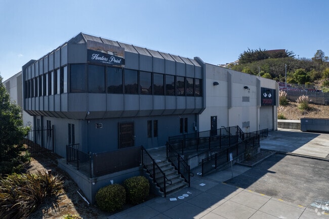
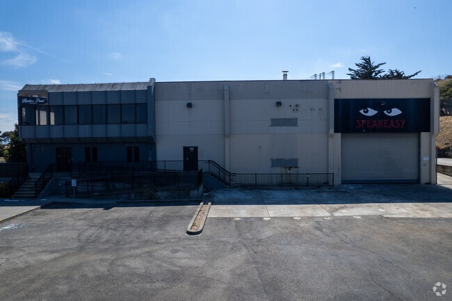
Property Record
401 Keith St, San Francisco, CA 94124
NEARBY LISTINGS FOR SALE OR LEASE
Property Detail
401 Keith St
San Francisco-San Mateo-Redwood City, CA
San Francisco
4602A-016
California
Industrialgeneral
16
2024
1.35 AC
2025
Bayview/Hunters Point
023200
San Francisco
9,703 SF
DEMOGRAPHICS near 401 Keith St
1 Mile
3 Mile
5 Mile
2024 Total Population
18,707
206,066
615,130
2029 Population
16,918
190,273
568,809
Pop Growth 2024-2029
(9.56%)
(7.66%)
(7.53%)
Average Age
39
41
42
2024 Total Households
5,702
75,414
262,574
HH Growth 2024-2029
(10.19%)
(7.95%)
(7.84%)
Median Household Inc
$58,617
$134,114
$123,672
Avg Household Size
2.90
2.50
2.20
2024 Avg HH Vehicles
1.00
1.00
1.00
Median Home Value
$901,012
$1,076,188
$1,085,985
Median Year Built
1969
1955
1951
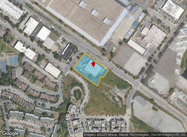
Nearby Places
Map Layers
Map Styles
 Street
 Aerial
- Restaurants
- Banks
- Shops
- Fitness
- Groceries
PUBLIC TRANSPORTATION
TRANSIT/SUBWAY
Evans Avenue Station Outbound (T Third Street - San Francisco Municipal Railway (MUNI Metro))
DRIVE
WALK
Distance
Evans Avenue Station Outbound (T Third Street - San Francisco Municipal Railway (MUNI Metro))
2 min
11 min
0.6 mi
Hudson/Innes Station (T Third Street - San Francisco Municipal Railway (MUNI Metro))
DRIVE
WALK
Distance
Hudson/Innes Station (T Third Street - San Francisco Municipal Railway (MUNI Metro))
3 min
12 min
0.6 mi
Kirkwood/La Salle Station (T Third Street - San Francisco Municipal Railway (MUNI Metro))
DRIVE
WALK
Distance
Kirkwood/La Salle Station (T Third Street - San Francisco Municipal Railway (MUNI Metro))
3 min
14 min
0.7 mi
Oakdale/Palou Station (T Third Street - San Francisco Municipal Railway (MUNI Metro))
DRIVE
WALK
Distance
Oakdale/Palou Station (T Third Street - San Francisco Municipal Railway (MUNI Metro))
5 min
17 min
0.9 mi
COMMUTER RAIL
DRIVE
WALK
Distance
7 min
2.9 mi
22nd Street (Caltrain - Caltrain (Caltrain))
DRIVE
WALK
Distance
22nd Street (Caltrain - Caltrain (Caltrain))
7 min
2.9 mi
AIRPORT
San Francisco International
DRIVE
WALK
Distance
San Francisco International
21 min
12.7 mi
Metro Oakland International
DRIVE
WALK
Distance
Metro Oakland International
36 min
22.8 mi
Norman Y Mineta San Jose International
DRIVE
WALK
Distance
Norman Y Mineta San Jose International
57 min
44.3 mi
SALE & LEASE HISTORY
LISTING DATE
SALE/LEASE

Jun 11, 2025
For Sale
Nearby Properties
Address
Land Use
TOTAL SIZE
Lot Size
Zoning
Address
Land Use
TOTAL SIZE
Lot Size
Zoning
750,370 SF
3.25 AC
MBR3
Address
Land Use
TOTAL SIZE
Lot Size
Zoning
248,303 SF
4.35 AC
Address
Land Use
TOTAL SIZE
Lot Size
Zoning
717,234 SF
3.47 AC
UMU
Address
Land Use
TOTAL SIZE
Lot Size
Zoning
10.92 AC
Address
Land Use
TOTAL SIZE
Lot Size
Zoning
885,581 SF
5.20 AC
M2
Address
Land Use
TOTAL SIZE
Lot Size
Zoning
2.74 AC
Address
Land Use
TOTAL SIZE
Lot Size
Zoning
313,306 SF
1.23 AC
WMUG
Address
Land Use
TOTAL SIZE
Lot Size
Zoning
314,826 SF
1.85 AC
MB-RA
Address
Land Use
TOTAL SIZE
Lot Size
Zoning
10.92 AC
Address
Land Use
TOTAL SIZE
Lot Size
Zoning
393,918 SF
3.36 AC
WMUG
Address
Land Use
TOTAL SIZE
Lot Size
Zoning
241,659 SF
3.76 AC
Address
Land Use
TOTAL SIZE
Lot Size
Zoning
230,853 SF
3.76 AC
Address
Land Use
TOTAL SIZE
Lot Size
Zoning
302,084 SF
0.88 AC
MBO
Address
Land Use
TOTAL SIZE
Lot Size
Zoning
674,317 SF
3.36 AC
UMU
Address
Land Use
TOTAL SIZE
Lot Size
Zoning
319,119 SF
0.76 AC
Address
Land Use
TOTAL SIZE
Lot Size
Zoning
222,000 SF
1 AC
MB-RA
Address
Land Use
TOTAL SIZE
Lot Size
Zoning
10.92 AC
Address
Land Use
TOTAL SIZE
Lot Size
Zoning
250,884 SF
1.66 AC
MB-RA
Address
Land Use
TOTAL SIZE
Lot Size
Zoning
375,030 SF
0.96 AC
Address
Land Use
TOTAL SIZE
Lot Size
Zoning
248,974 SF
0.88 AC
MBO
Address
Land Use
TOTAL SIZE
Lot Size
Zoning
345,000 SF
1.74 AC
WMUG
Address
Land Use
TOTAL SIZE
Lot Size
Zoning
2.22 AC
M1
Address
Land Use
TOTAL SIZE
Lot Size
Zoning
2.06 AC
Address
Land Use
TOTAL SIZE
Lot Size
Zoning
333,244 SF
2.67 AC
UMU
Address
Land Use
TOTAL SIZE
Lot Size
Zoning
323,983 SF
0.87 AC
MUO
Address
Land Use
TOTAL SIZE
Lot Size
Zoning
300,000 SF
0.93 AC
Address
Land Use
TOTAL SIZE
Lot Size
Zoning
347,857 SF
2.76 AC
Address
Land Use
TOTAL SIZE
Lot Size
Zoning
346,710 SF
7.45 AC
RH2
Address
Land Use
TOTAL SIZE
Lot Size
Zoning
167,053 SF
0.99 AC
MB-RA
Address
Land Use
TOTAL SIZE
Lot Size
Zoning
3.49 AC
The World's #1 Commercial Real Estate Marketplace
Connect with us
© 2026 CoStar Group
The information above has been obtained from sources believed reliable. While we do not doubt its accuracy we have not verified it and make no guarantee, warranty or representation about it. It is your responsibility to independently confirm its accuracy and completeness. Any projections, opinions, assumptions, or estimates used are for example only and do not represent the current or future performance of the property. The value of this transaction to you depends on tax and other factors which should be evaluated by your tax, financial, and legal advisors. You and your advisors should conduct a careful, independent investigation of the property to determine to your satisfaction the suitability of the property for your needs.