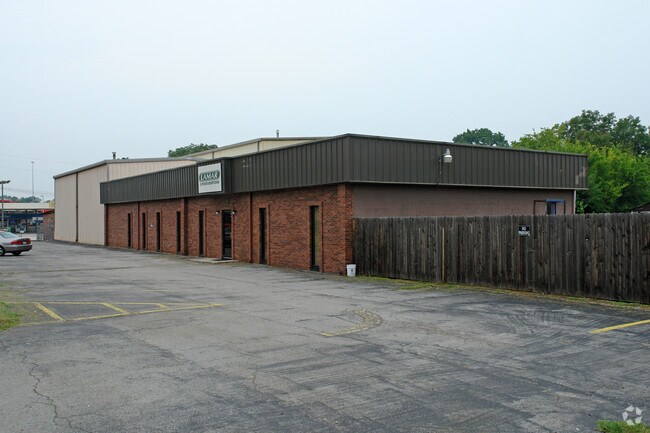
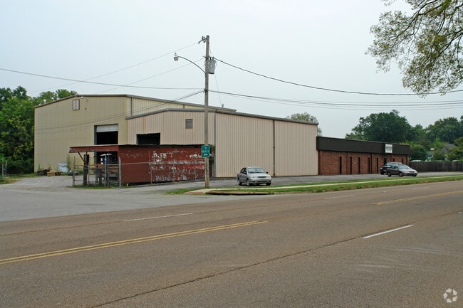
Property Record
401 Pratt Ave Ne, Huntsville, AL 35801
NEARBY LISTINGS FOR SALE OR LEASE
Property Detail
401 Pratt Ave Ne
Huntsville, AL
East Huntsville Add
14-07-36-1-003-071.000
LOT 1 5 POINTS PB# 2022-267
Quadruplex
Madison
AE
Alabama
01089C0327F
12-16
2025
4.83 AC
2025
South Huntsville
001000
Huntsville
92,055 SF
DEMOGRAPHICS near 401 Pratt Ave Ne
1 Mile
3 Mile
5 Mile
2024 Total Population
8,555
64,074
124,771
2029 Population
9,594
70,970
138,132
Pop Growth 2024-2029
+ 12.14%
+ 10.76%
+ 10.71%
Average Age
43
40
39
2024 Total Households
4,176
27,363
52,523
HH Growth 2024-2029
+ 12.50%
+ 11.70%
+ 11.46%
Median Household Inc
$72,216
$56,460
$50,067
Avg Household Size
1.80
2.10
2.10
2024 Avg HH Vehicles
2.00
2.00
2.00
Median Home Value
$320,052
$220,332
$180,219
Median Year Built
1962
1966
1970
Nearby Places
- Restaurants
- Banks
- Shops
- Fitness
- Groceries
PUBLIC TRANSPORTATION
AIRPORT
Huntsville International-Carl T Jones Field
DRIVE
WALK
Distance
Huntsville International-Carl T Jones Field
20 min
14.7 mi
Freight Ports
Port of Mobile
DRIVE
WALK
Distance
Port of Mobile
388 min
355.9 mi
Nearby Properties
Address
Land Use
TOTAL SIZE
Lot Size
Zoning
Address
Land Use
TOTAL SIZE
Lot Size
Zoning
91,060 SF
8.37 AC
Address
Land Use
TOTAL SIZE
Lot Size
Zoning
208,719 SF
26.55 AC
Address
Land Use
TOTAL SIZE
Lot Size
Zoning
67,440 SF
10.04 AC
Address
Land Use
TOTAL SIZE
Lot Size
Zoning
5,577 SF
12.72 AC
Address
Land Use
TOTAL SIZE
Lot Size
Zoning
76,442 SF
Address
Land Use
TOTAL SIZE
Lot Size
Zoning
67,868 SF
11 AC
Address
Land Use
TOTAL SIZE
Lot Size
Zoning
0.77 AC
Address
Land Use
TOTAL SIZE
Lot Size
Zoning
18,182 SF
Address
Land Use
TOTAL SIZE
Lot Size
Zoning
61,559 SF
5.15 AC
Address
Land Use
TOTAL SIZE
Lot Size
Zoning
47,696 SF
1.63 AC
Address
Land Use
TOTAL SIZE
Lot Size
Zoning
76,079 SF
12.71 AC
Address
Land Use
TOTAL SIZE
Lot Size
Zoning
61,712 SF
0.01 AC
Address
Land Use
TOTAL SIZE
Lot Size
Zoning
9,940 SF
4.59 AC
Address
Land Use
TOTAL SIZE
Lot Size
Zoning
14,630 SF
13.44 AC
Address
Land Use
TOTAL SIZE
Lot Size
Zoning
2,532 SF
22.76 AC
Address
Land Use
TOTAL SIZE
Lot Size
Zoning
15,121 SF
1.73 AC
Address
Land Use
TOTAL SIZE
Lot Size
Zoning
Address
Land Use
TOTAL SIZE
Lot Size
Zoning
42,231 SF
6.69 AC
Address
Land Use
TOTAL SIZE
Lot Size
Zoning
17,333 SF
1.65 AC
Address
Land Use
TOTAL SIZE
Lot Size
Zoning
21,068 SF
1.39 AC
Address
Land Use
TOTAL SIZE
Lot Size
Zoning
17,985 SF
0.74 AC
Address
Land Use
TOTAL SIZE
Lot Size
Zoning
16,379 SF
0.86 AC
Address
Land Use
TOTAL SIZE
Lot Size
Zoning
33,558 SF
4.30 AC
Address
Land Use
TOTAL SIZE
Lot Size
Zoning
19,360 SF
6.24 AC
Address
Land Use
TOTAL SIZE
Lot Size
Zoning
2,471 SF
14.44 AC
Address
Land Use
TOTAL SIZE
Lot Size
Zoning
31,775 SF
3.89 AC
Address
Land Use
TOTAL SIZE
Lot Size
Zoning
12,568 SF
0.41 AC
Address
Land Use
TOTAL SIZE
Lot Size
Zoning
19,999 SF
14.93 AC
Address
Land Use
TOTAL SIZE
Lot Size
Zoning
12,989 SF
2.07 AC
The World's #1 Commercial Real Estate Marketplace
Connect with us
© 2025 CoStar Group
The information above has been obtained from sources believed reliable. While we do not doubt its accuracy we have not verified it and make no guarantee, warranty or representation about it. It is your responsibility to independently confirm its accuracy and completeness. Any projections, opinions, assumptions, or estimates used are for example only and do not represent the current or future performance of the property. The value of this transaction to you depends on tax and other factors which should be evaluated by your tax, financial, and legal advisors. You and your advisors should conduct a careful, independent investigation of the property to determine to your satisfaction the suitability of the property for your needs.