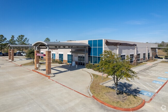
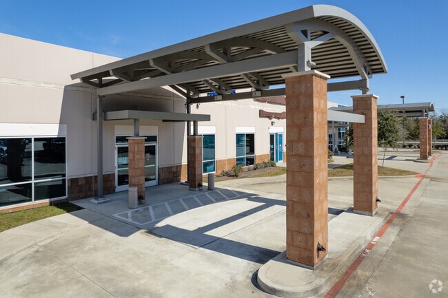
Property Record
4019 Interstate 45 N, Conroe, TX 77304

Property Detail
4019 Interstate 45 N
0118-00-00307
A0118 - COOK FRANCIS J, TRACT 3-H, ACRES 1.728
Commercialnec
Montgomery
B and X Area of moderate flood hazard, usually the area between the limits of the 100-year and 500-year floods.
Texas
2024
1.73 AC
2025
Conroe
694208
Houston
19,980 SF
Houston-Pasadena-The Woodlands, TX
NEARBY LISTINGS FOR SALE OR LEASE
DEMOGRAPHICS near 4019 Interstate 45 N
1 mile
3 mile
5 mile
2025 Total Population
4,554
32,681
87,805
2030 Population
5,437
38,828
103,630
Pop Growth 2025-2030
+ 19.39%
+ 18.81%
+ 18.02%
Average Age
43
39
38
2025 Total Households
1,764
12,661
31,772
HH Growth 2025-2030
+ 19.90%
+ 19.31%
+ 18.95%
Median Household Inc
$97,730
$74,771
$73,147
Avg Household Size
2.60
2.50
2.70
2025 Avg HH Vehicles
2.00
2.00
2.00
Median Home Value
$325,454
$355,587
$307,326
Median Year Built
2003
2009
2006
Nearby Places
Map Layers
Map Styles
 Street
 Aerial
Transit
 Traffic
 Biking
Places
Listings with unknown addresses are not visible on the map
- Restaurants
- Banks
- Shops
- Fitness
- Groceries
PUBLIC TRANSPORTATION
AIRPORT
George Bush Intcntl/Houston
Drive
Walk
Distance
George Bush Intcntl/Houston
43 min
35.4 mi
Freight Ports
Port of Houston
Drive
Walk
Distance
Port of Houston
66 min
51.1 mi
SALE & LEASE HISTORY
LISTING DATE
SALE/LEASE

Jan 31, 2020
For Sale
Nearby Properties
Address
Land Use
TOTAL SIZE
Lot Size
Zoning
Address
Land Use
TOTAL SIZE
Lot Size
Zoning
776,164 SF
71.74 AC
Address
Land Use
TOTAL SIZE
Lot Size
Zoning
419,016 SF
26 AC
Address
Land Use
TOTAL SIZE
Lot Size
Zoning
308,438 SF
14.35 AC
Address
Land Use
TOTAL SIZE
Lot Size
Zoning
322,588 SF
14.77 AC
Address
Land Use
TOTAL SIZE
Lot Size
Zoning
280,904 SF
12 AC
Address
Land Use
TOTAL SIZE
Lot Size
Zoning
361,388 SF
16.32 AC
Address
Land Use
TOTAL SIZE
Lot Size
Zoning
294,336 SF
20.39 AC
Address
Land Use
TOTAL SIZE
Lot Size
Zoning
275,000 SF
13.65 AC
Address
Land Use
TOTAL SIZE
Lot Size
Zoning
366,709 SF
27.72 AC
Address
Land Use
TOTAL SIZE
Lot Size
Zoning
206,841 SF
23.44 AC
Address
Land Use
TOTAL SIZE
Lot Size
Zoning
258,100 SF
12.04 AC
1
Address
Land Use
TOTAL SIZE
Lot Size
Zoning
399,360 SF
30 AC
Address
Land Use
TOTAL SIZE
Lot Size
Zoning
229,345 SF
12.36 AC
1
Address
Land Use
TOTAL SIZE
Lot Size
Zoning
250,716 SF
11.17 AC
1
Address
Land Use
TOTAL SIZE
Lot Size
Zoning
235,826 SF
15.29 AC
Address
Land Use
TOTAL SIZE
Lot Size
Zoning
134,621 SF
26.37 AC
Address
Land Use
TOTAL SIZE
Lot Size
Zoning
141,100 SF
25.34 AC
Address
Land Use
TOTAL SIZE
Lot Size
Zoning
62,296 SF
20.62 AC
Address
Land Use
TOTAL SIZE
Lot Size
Zoning
287,364 SF
23.45 AC
4
Address
Land Use
TOTAL SIZE
Lot Size
Zoning
171,124 SF
9.03 AC
1
Address
Land Use
TOTAL SIZE
Lot Size
Zoning
75,048 SF
10.59 AC
Address
Land Use
TOTAL SIZE
Lot Size
Zoning
214,039 SF
20 AC
Address
Land Use
TOTAL SIZE
Lot Size
Zoning
448,675 SF
52.68 AC
4
Address
Land Use
TOTAL SIZE
Lot Size
Zoning
174,324 SF
6.66 AC
1
Address
Land Use
TOTAL SIZE
Lot Size
Zoning
235,219 SF
40.03 AC
Address
Land Use
TOTAL SIZE
Lot Size
Zoning
332,274 SF
40 AC
Address
Land Use
TOTAL SIZE
Lot Size
Zoning
151,806 SF
9 AC
1
Address
Land Use
TOTAL SIZE
Lot Size
Zoning
205,088 SF
79.14 AC
Address
Land Use
TOTAL SIZE
Lot Size
Zoning
221,890 SF
17.18 AC
The World's #1 Commercial Real Estate Marketplace
Connect with us
© 2026 CoStar Group
The information above has been obtained from sources believed reliable. While we do not doubt its accuracy we have not verified it and make no guarantee, warranty or representation about it. It is your responsibility to independently confirm its accuracy and completeness. Any projections, opinions, assumptions, or estimates used are for example only and do not represent the current or future performance of the property. The value of this transaction to you depends on tax and other factors which should be evaluated by your tax, financial, and legal advisors. You and your advisors should conduct a careful, independent investigation of the property to determine to your satisfaction the suitability of the property for your needs.