Property Record
402 N Fm 179, Lubbock, TX 79416
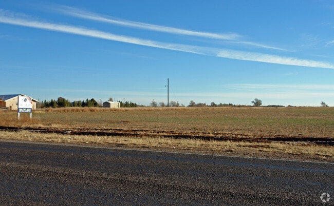

Property Detail
402 N Fm 179
Lubbock, TX
SAND DOLLAR L 11 LESS E 102.5 & 12
R69256
LUBBOCK
Commercialnec
Texas
B and X Area of moderate flood hazard, usually the area between the limits of the 100-year and 500-year floods.
12
2024
4.68 AC
2025
Outlying Lubbock County
010416
Lubbock
13,875 SF
NEARBY LISTINGS FOR SALE OR LEASE
DEMOGRAPHICS near 402 N Fm 179
1 mile
3 mile
5 mile
2025 Total Population
969
9,262
51,033
2030 Population
1,045
10,082
54,125
Pop Growth 2025-2030
+ 7.84%
+ 8.85%
+ 6.06%
Average Age
39
36
35
2025 Total Households
335
3,523
21,238
HH Growth 2025-2030
+ 8.06%
+ 9.11%
+ 6.27%
Median Household Inc
$77,530
$66,500
$58,561
Avg Household Size
2.70
2.50
2.40
2025 Avg HH Vehicles
3.00
2.00
2.00
Median Home Value
$193,406
$214,789
$196,012
Median Year Built
1987
2005
1999
Nearby Places
Map Layers
Map Styles
 Street
 Aerial
Layers
 Traffic
 Biking
Places
Listings with unknown addresses are not visible on the map
- Restaurants
- Banks
- Shops
- Fitness
- Groceries
PUBLIC TRANSPORTATION
AIRPORT
Lubbock Preston Smith International
Drive
Walk
Distance
Lubbock Preston Smith International
35 min
19.8 mi
Freight Ports
Tulsa Port Of Catoosa
Drive
Walk
Distance
Tulsa Port Of Catoosa
519 min
477.7 mi
Nearby Properties
Address
Land Use
TOTAL SIZE
Lot Size
Zoning
Address
Land Use
TOTAL SIZE
Lot Size
Zoning
98,000 SF
15.60 AC
Address
Land Use
TOTAL SIZE
Lot Size
Zoning
169,556 SF
12 AC
Address
Land Use
TOTAL SIZE
Lot Size
Zoning
30,203 SF
8.71 AC
Address
Land Use
TOTAL SIZE
Lot Size
Zoning
74,575 SF
10.40 AC
Address
Land Use
TOTAL SIZE
Lot Size
Zoning
36,000 SF
23.08 AC
Address
Land Use
TOTAL SIZE
Lot Size
Zoning
23,060 SF
5.25 AC
Address
Land Use
TOTAL SIZE
Lot Size
Zoning
63,870 SF
10.70 AC
Address
Land Use
TOTAL SIZE
Lot Size
Zoning
21.44 AC
Address
Land Use
TOTAL SIZE
Lot Size
Zoning
5,494 SF
2.62 AC
Address
Land Use
TOTAL SIZE
Lot Size
Zoning
74,250 SF
5.88 AC
Address
Land Use
TOTAL SIZE
Lot Size
Zoning
24,329 SF
25.90 AC
Address
Land Use
TOTAL SIZE
Lot Size
Zoning
8.40 AC
Address
Land Use
TOTAL SIZE
Lot Size
Zoning
12,185 SF
2.50 AC
Address
Land Use
TOTAL SIZE
Lot Size
Zoning
9,880 SF
1.88 AC
Address
Land Use
TOTAL SIZE
Lot Size
Zoning
121.82 AC
Address
Land Use
TOTAL SIZE
Lot Size
Zoning
12,400 SF
1.64 AC
Address
Land Use
TOTAL SIZE
Lot Size
Zoning
20,000 SF
8.60 AC
Address
Land Use
TOTAL SIZE
Lot Size
Zoning
9,100 SF
1.21 AC
Address
Land Use
TOTAL SIZE
Lot Size
Zoning
6,400 SF
2.37 AC
Address
Land Use
TOTAL SIZE
Lot Size
Zoning
3,708 SF
4.05 AC
Address
Land Use
TOTAL SIZE
Lot Size
Zoning
3.67 AC
Address
Land Use
TOTAL SIZE
Lot Size
Zoning
13,490 SF
2.40 AC
Address
Land Use
TOTAL SIZE
Lot Size
Zoning
12,073 SF
32.37 AC
Address
Land Use
TOTAL SIZE
Lot Size
Zoning
2.79 AC
Address
Land Use
TOTAL SIZE
Lot Size
Zoning
28,582 SF
2.49 AC
Address
Land Use
TOTAL SIZE
Lot Size
Zoning
10,400 SF
3.81 AC
Address
Land Use
TOTAL SIZE
Lot Size
Zoning
23,092 SF
2.84 AC
Address
Land Use
TOTAL SIZE
Lot Size
Zoning
134.32 AC
Address
Land Use
TOTAL SIZE
Lot Size
Zoning
4.74 AC
The World's #1 Commercial Real Estate Marketplace
Connect with us
© 2026 CoStar Group
The information above has been obtained from sources believed reliable. While we do not doubt its accuracy we have not verified it and make no guarantee, warranty or representation about it. It is your responsibility to independently confirm its accuracy and completeness. Any projections, opinions, assumptions, or estimates used are for example only and do not represent the current or future performance of the property. The value of this transaction to you depends on tax and other factors which should be evaluated by your tax, financial, and legal advisors. You and your advisors should conduct a careful, independent investigation of the property to determine to your satisfaction the suitability of the property for your needs.