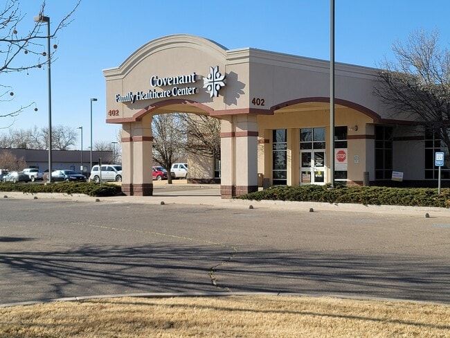
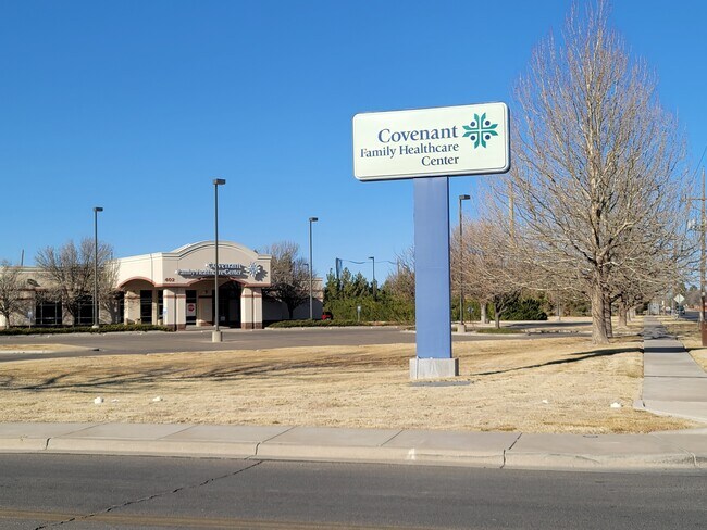
Property Record
402 W Country Club Rd, Roswell, NM 88201

NEARBY LISTINGS FOR SALE OR LEASE
-
-
View all Roswell listings for sale on LoopNet.com
Property Detail
402 W Country Club Rd
R006270
Roswell Family Healthcare Center Sp2
Realpropertynec
SUBD: ROSWELL FAMILY HEALTHCARE CENTER SP2 TRACT: 1 QUARTER: NE S: 29 T: 10S R: 24E DOC# 202301064 WD
X
Chaves
35005C1370D
New Mexico
2024
3.57 AC
2025
New Mexico South Area
000302
Other Market Areas
23,576 SF
Roswell, NM
DEMOGRAPHICS near 402 W Country Club Rd
1 Mile
3 Mile
5 Mile
2024 Total Population
7,646
33,689
49,975
2029 Population
7,552
33,285
49,285
Pop Growth 2024-2029
(1.23%)
(1.20%)
(1.38%)
Average Age
41
39
38
2024 Total Households
3,108
12,851
18,755
HH Growth 2024-2029
(1.38%)
(1.32%)
(1.48%)
Median Household Inc
$60,077
$51,036
$48,809
Avg Household Size
2.40
2.50
2.60
2024 Avg HH Vehicles
2.00
2.00
2.00
Median Home Value
$182,047
$159,221
$144,759
Median Year Built
1980
1971
1969
Nearby Places
Map Layers
Map Styles
 Street
 Aerial
- Restaurants
- Banks
- Shops
- Fitness
- Groceries
PUBLIC TRANSPORTATION
AIRPORT
Roswell Air Center
DRIVE
WALK
Distance
Roswell Air Center
19 min
9.7 mi
Freight Ports
Tulsa Port Of Catoosa
DRIVE
WALK
Distance
Tulsa Port Of Catoosa
638 min
587.4 mi
SALE & LEASE HISTORY
LISTING DATE
SALE/LEASE

Mar 10, 2021
For Sale
Nearby Properties
Address
Land Use
TOTAL SIZE
Lot Size
Zoning
Address
Land Use
TOTAL SIZE
Lot Size
Zoning
1,829,640 SF
3.68 AC
CENTRAL BU
Address
Land Use
TOTAL SIZE
Lot Size
Zoning
10,644 SF
5.81 AC
COMMUNITY
Address
Land Use
TOTAL SIZE
Lot Size
Zoning
23.93 AC
RESIDENTIA
Address
Land Use
TOTAL SIZE
Lot Size
Zoning
230,872 SF
9.40 AC
COMMUNITY
Address
Land Use
TOTAL SIZE
Lot Size
Zoning
2.54 AC
RESIDENTIA
Address
Land Use
TOTAL SIZE
Lot Size
Zoning
2.58 AC
COMMUNITY
Address
Land Use
TOTAL SIZE
Lot Size
Zoning
150.96 AC
RESIDENTIA
Address
Land Use
TOTAL SIZE
Lot Size
Zoning
1.59 AC
CENTRAL BU
Address
Land Use
TOTAL SIZE
Lot Size
Zoning
56.23 AC
Address
Land Use
TOTAL SIZE
Lot Size
Zoning
18,630 SF
9.10 AC
COMMUNITY
Address
Land Use
TOTAL SIZE
Lot Size
Zoning
17,567 SF
1.24 AC
RESIDENTIA
Address
Land Use
TOTAL SIZE
Lot Size
Zoning
6.47 AC
RESIDENTIA
Address
Land Use
TOTAL SIZE
Lot Size
Zoning
203,209 SF
22.13 AC
COMMUNITY
Address
Land Use
TOTAL SIZE
Lot Size
Zoning
2.36 AC
RESIDENTIA
Address
Land Use
TOTAL SIZE
Lot Size
Zoning
9.52 AC
RESIDENTIA
Address
Land Use
TOTAL SIZE
Lot Size
Zoning
3.58 AC
RESIDENTIA
Address
Land Use
TOTAL SIZE
Lot Size
Zoning
2.10 AC
CENTRAL BU
Address
Land Use
TOTAL SIZE
Lot Size
Zoning
9.05 AC
Address
Land Use
TOTAL SIZE
Lot Size
Zoning
Address
Land Use
TOTAL SIZE
Lot Size
Zoning
134,448 SF
15.85 AC
COMMUNITY
Address
Land Use
TOTAL SIZE
Lot Size
Zoning
4.91 AC
RESIDENTIA
Address
Land Use
TOTAL SIZE
Lot Size
Zoning
38,671 SF
6.59 AC
COMMUNITY
Address
Land Use
TOTAL SIZE
Lot Size
Zoning
21,500 SF
4.78 AC
COMMUNITY
Address
Land Use
TOTAL SIZE
Lot Size
Zoning
2.61 AC
RESIDENTIA
Address
Land Use
TOTAL SIZE
Lot Size
Zoning
44,153 SF
1.29 AC
CENTRAL BU
Address
Land Use
TOTAL SIZE
Lot Size
Zoning
20.23 AC
RESIDENTIA
Address
Land Use
TOTAL SIZE
Lot Size
Zoning
39,382 SF
1.90 AC
COMMUNITY
Address
Land Use
TOTAL SIZE
Lot Size
Zoning
29.09 AC
RESIDENTIA
Address
Land Use
TOTAL SIZE
Lot Size
Zoning
6.48 AC
RESIDENTIA
Address
Land Use
TOTAL SIZE
Lot Size
Zoning
39,383 SF
2.11 AC
COMMUNITY
The World's #1 Commercial Real Estate Marketplace
Connect with us
© 2025 CoStar Group
The information above has been obtained from sources believed reliable. While we do not doubt its accuracy we have not verified it and make no guarantee, warranty or representation about it. It is your responsibility to independently confirm its accuracy and completeness. Any projections, opinions, assumptions, or estimates used are for example only and do not represent the current or future performance of the property. The value of this transaction to you depends on tax and other factors which should be evaluated by your tax, financial, and legal advisors. You and your advisors should conduct a careful, independent investigation of the property to determine to your satisfaction the suitability of the property for your needs.