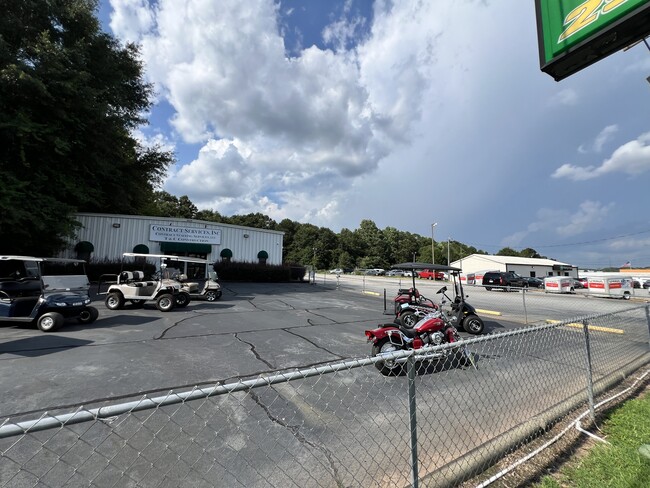
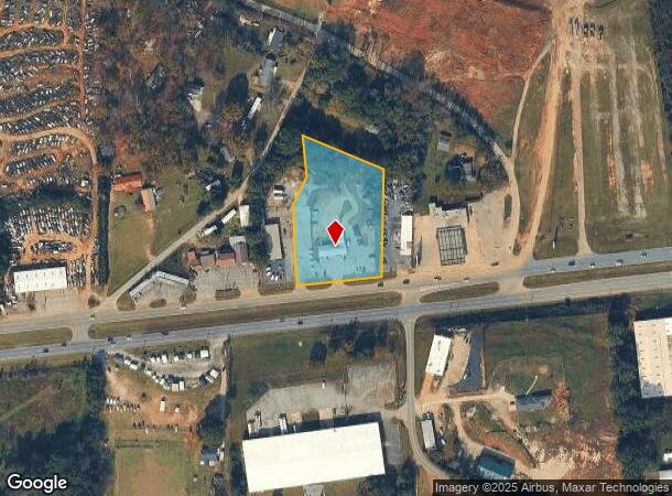
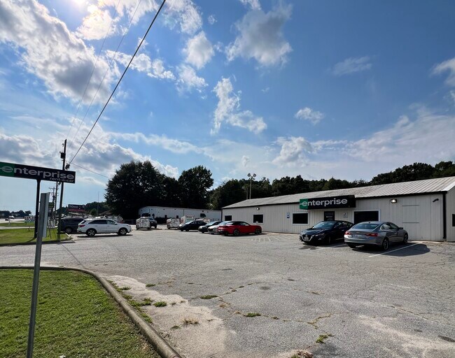
Property Record
4020 Calhoun Memorial Hwy, Easley, SC 29640
NEARBY LISTINGS FOR SALE OR LEASE
Property Detail
4020 Calhoun Memorial Hwy
5049-16-84-1117
N/SIDE HWY 123 PLAT 44/154, PLAT 58/570
Officebuilding
Pickens
X
South Carolina
45007C0035E
2.12 AC
2025
Outlying Pickens County
2024
Greenville/Spartanburg
010604
Greenville-Anderson-Mauldin, SC
2,400 SF
DEMOGRAPHICS near 4020 Calhoun Memorial Hwy
1 Mile
3 Mile
5 Mile
2024 Total Population
1,322
19,833
82,829
2029 Population
1,374
20,874
89,638
Pop Growth 2024-2029
+ 3.93%
+ 5.25%
+ 8.22%
Average Age
39
40
39
2024 Total Households
504
7,730
32,090
HH Growth 2024-2029
+ 3.97%
+ 5.21%
+ 8.20%
Median Household Inc
$55,051
$55,827
$49,862
Avg Household Size
2.60
2.50
2.50
2024 Avg HH Vehicles
2.00
2.00
2.00
Median Home Value
$117,333
$179,459
$178,678
Median Year Built
1986
1991
1986
Nearby Places
Map Layers
Map Styles
 Street
 Aerial
- Restaurants
- Banks
- Shops
- Fitness
- Groceries
PUBLIC TRANSPORTATION
COMMUTER RAIL
Greenville Amtrak Station (Crescent - Amtrak)
DRIVE
WALK
Distance
Greenville Amtrak Station (Crescent - Amtrak)
13 min
6.6 mi
AIRPORT
Greenville Spartanburg International
DRIVE
WALK
Distance
Greenville Spartanburg International
34 min
20.8 mi
Freight Ports
North Charleston Terminal
DRIVE
WALK
Distance
North Charleston Terminal
240 min
211.6 mi
SALE & LEASE HISTORY
LISTING DATE
SALE/LEASE

Sep 17, 2024
For Sale
Nearby Properties
Address
Land Use
TOTAL SIZE
Lot Size
Zoning
Address
Land Use
TOTAL SIZE
Lot Size
Zoning
16.29 AC
GENERAL CO
Address
Land Use
TOTAL SIZE
Lot Size
Zoning
19,164 SF
3.22 AC
GC
Address
Land Use
TOTAL SIZE
Lot Size
Zoning
14,544 SF
22.61 AC
Address
Land Use
TOTAL SIZE
Lot Size
Zoning
13.75 AC
GC
Address
Land Use
TOTAL SIZE
Lot Size
Zoning
18.22 AC
RM
Address
Land Use
TOTAL SIZE
Lot Size
Zoning
49,803 SF
18.36 AC
GC
Address
Land Use
TOTAL SIZE
Lot Size
Zoning
4,200 SF
0.98 AC
GC
Address
Land Use
TOTAL SIZE
Lot Size
Zoning
1,410 SF
10.17 AC
R10
Address
Land Use
TOTAL SIZE
Lot Size
Zoning
36.37 AC
Address
Land Use
TOTAL SIZE
Lot Size
Zoning
5,321 SF
3.38 AC
Address
Land Use
TOTAL SIZE
Lot Size
Zoning
5,427 SF
1.34 AC
Address
Land Use
TOTAL SIZE
Lot Size
Zoning
24.69 AC
S1
Address
Land Use
TOTAL SIZE
Lot Size
Zoning
187,150 SF
19.38 AC
GC
Address
Land Use
TOTAL SIZE
Lot Size
Zoning
21,258 SF
15 AC
GR2
Address
Land Use
TOTAL SIZE
Lot Size
Zoning
135,439 SF
13.80 AC
GC
Address
Land Use
TOTAL SIZE
Lot Size
Zoning
41.39 AC
Address
Land Use
TOTAL SIZE
Lot Size
Zoning
54.93 AC
GC
Address
Land Use
TOTAL SIZE
Lot Size
Zoning
140,718 SF
18.32 AC
PUD
Address
Land Use
TOTAL SIZE
Lot Size
Zoning
16,494 SF
4.66 AC
GR2
Address
Land Use
TOTAL SIZE
Lot Size
Zoning
3,668 SF
6.59 AC
Address
Land Use
TOTAL SIZE
Lot Size
Zoning
59.60 AC
RS
Address
Land Use
TOTAL SIZE
Lot Size
Zoning
105.62 AC
RS
Address
Land Use
TOTAL SIZE
Lot Size
Zoning
Address
Land Use
TOTAL SIZE
Lot Size
Zoning
28.82 AC
RS,S1
Address
Land Use
TOTAL SIZE
Lot Size
Zoning
18,777 SF
6.53 AC
GC
Address
Land Use
TOTAL SIZE
Lot Size
Zoning
34,254 SF
9.87 AC
Address
Land Use
TOTAL SIZE
Lot Size
Zoning
64,354 SF
4.57 AC
GC
Address
Land Use
TOTAL SIZE
Lot Size
Zoning
10,000 SF
2.10 AC
Address
Land Use
TOTAL SIZE
Lot Size
Zoning
60,480 SF
4 AC
GC
The World's #1 Commercial Real Estate Marketplace
Connect with us
© 2025 CoStar Group
The information above has been obtained from sources believed reliable. While we do not doubt its accuracy we have not verified it and make no guarantee, warranty or representation about it. It is your responsibility to independently confirm its accuracy and completeness. Any projections, opinions, assumptions, or estimates used are for example only and do not represent the current or future performance of the property. The value of this transaction to you depends on tax and other factors which should be evaluated by your tax, financial, and legal advisors. You and your advisors should conduct a careful, independent investigation of the property to determine to your satisfaction the suitability of the property for your needs.