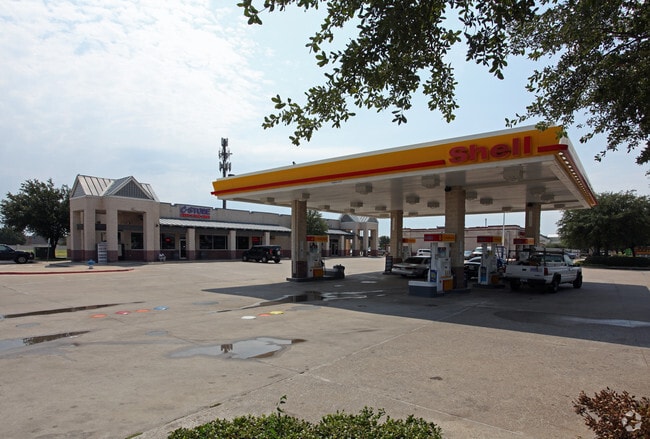
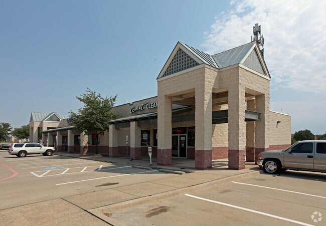
Property Record
4040 Preston Rd, Plano, TX 75093

Property Detail
4040 Preston Rd
R-3089-00A-0010-1
LAKEPOINTE CROSSING ADDITION, BLK A, LOT 1
Commercialnec
COLLIN
RT
Texas
B and X Area of moderate flood hazard, usually the area between the limits of the 100-year and 500-year floods.
1
2025
0.59 AC
2025
West Plano
031675
Dallas/Ft Worth
6,280 SF
Dallas-Fort Worth-Arlington, TX
NEARBY LISTINGS FOR SALE OR LEASE
DEMOGRAPHICS near 4040 Preston Rd
1 mile
3 mile
5 mile
2025 Total Population
17,678
129,223
381,619
2030 Population
20,049
146,254
431,235
Pop Growth 2025-2030
+ 13.41%
+ 13.18%
+ 13.00%
Average Age
41
41
40
2025 Total Households
7,596
52,853
161,089
HH Growth 2025-2030
+ 13.63%
+ 13.44%
+ 13.33%
Median Household Inc
$115,075
$121,074
$106,880
Avg Household Size
2.30
2.40
2.30
2025 Avg HH Vehicles
2.00
2.00
2.00
Median Home Value
$736,785
$637,300
$554,955
Median Year Built
1995
1993
1994
Nearby Places
Map Layers
Map Styles
 Street
 Aerial
Transit
 Traffic
 Biking
Places
Listings with unknown addresses are not visible on the map
- Restaurants
- Banks
- Shops
- Fitness
- Groceries
PUBLIC TRANSPORTATION
AIRPORT
Dallas Love Field
Drive
Walk
Distance
Dallas Love Field
30 min
20.4 mi
Dallas-Fort Worth International
Drive
Walk
Distance
Dallas-Fort Worth International
32 min
24.5 mi
Nearby Properties
Address
Land Use
TOTAL SIZE
Lot Size
Zoning
Address
Land Use
TOTAL SIZE
Lot Size
Zoning
779,629 SF
56 AC
Address
Land Use
TOTAL SIZE
Lot Size
Zoning
958,318 SF
9.07 AC
CE
Address
Land Use
TOTAL SIZE
Lot Size
Zoning
558,664 SF
20.14 AC
CE
Address
Land Use
TOTAL SIZE
Lot Size
Zoning
492,661 SF
4.89 AC
Address
Land Use
TOTAL SIZE
Lot Size
Zoning
343,539 SF
34.74 AC
S-164
Address
Land Use
TOTAL SIZE
Lot Size
Zoning
719,177 SF
27.02 AC
O-2
Address
Land Use
TOTAL SIZE
Lot Size
Zoning
659,402 SF
24.39 AC
O-M
Address
Land Use
TOTAL SIZE
Lot Size
Zoning
455,432 SF
2.55 AC
MULTI-FAMI
Address
Land Use
TOTAL SIZE
Lot Size
Zoning
356,196 SF
3.71 AC
CB-1
Address
Land Use
TOTAL SIZE
Lot Size
Zoning
337,550 SF
8.73 AC
Address
Land Use
TOTAL SIZE
Lot Size
Zoning
584,998 SF
23.45 AC
Address
Land Use
TOTAL SIZE
Lot Size
Zoning
320,098 SF
20 AC
CE
Address
Land Use
TOTAL SIZE
Lot Size
Zoning
606,071 SF
64.75 AC
SFR
Address
Land Use
TOTAL SIZE
Lot Size
Zoning
1,578,500 SF
91.04 AC
Address
Land Use
TOTAL SIZE
Lot Size
Zoning
306,200 SF
4.33 AC
Address
Land Use
TOTAL SIZE
Lot Size
Zoning
518,210 SF
38.11 AC
CE
Address
Land Use
TOTAL SIZE
Lot Size
Zoning
318,619 SF
5.65 AC
COMM
Address
Land Use
TOTAL SIZE
Lot Size
Zoning
401,260 SF
23.33 AC
CE
Address
Land Use
TOTAL SIZE
Lot Size
Zoning
374,300 SF
6.73 AC
CB-1
Address
Land Use
TOTAL SIZE
Lot Size
Zoning
319,876 SF
3.36 AC
Address
Land Use
TOTAL SIZE
Lot Size
Zoning
275,457 SF
3.69 AC
CE
Address
Land Use
TOTAL SIZE
Lot Size
Zoning
207,793 SF
12.48 AC
CE
Address
Land Use
TOTAL SIZE
Lot Size
Zoning
481,366 SF
6.31 AC
LC
Address
Land Use
TOTAL SIZE
Lot Size
Zoning
252,305 SF
9.22 AC
Address
Land Use
TOTAL SIZE
Lot Size
Zoning
341,917 SF
2.86 AC
CB-1
Address
Land Use
TOTAL SIZE
Lot Size
Zoning
337,350 SF
2.32 AC
Address
Land Use
TOTAL SIZE
Lot Size
Zoning
545,224 SF
42.80 AC
Address
Land Use
TOTAL SIZE
Lot Size
Zoning
435,683 SF
18.25 AC
COMM
Address
Land Use
TOTAL SIZE
Lot Size
Zoning
388,870 SF
25.54 AC
Address
Land Use
TOTAL SIZE
Lot Size
Zoning
442,184 SF
11.65 AC
MF-E
The World's #1 Commercial Real Estate Marketplace
Connect with us
© 2026 CoStar Group
The information above has been obtained from sources believed reliable. While we do not doubt its accuracy we have not verified it and make no guarantee, warranty or representation about it. It is your responsibility to independently confirm its accuracy and completeness. Any projections, opinions, assumptions, or estimates used are for example only and do not represent the current or future performance of the property. The value of this transaction to you depends on tax and other factors which should be evaluated by your tax, financial, and legal advisors. You and your advisors should conduct a careful, independent investigation of the property to determine to your satisfaction the suitability of the property for your needs.