Property Record
40420 Mayberry Ave, Hemet, CA 92544


Property Detail
40420 Mayberry Ave
Riverside-San Bernardino-Ontario, CA
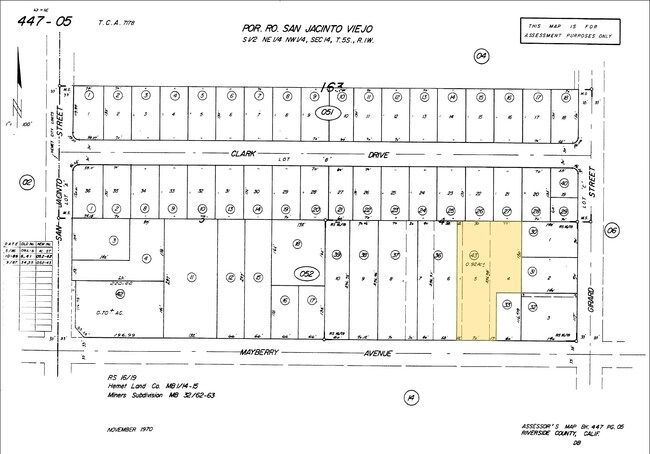
.92 ACRES M/L IN POR PARS 4 & 6 AND PAR 5 RS 016/019
447-052-043
RIVERSIDE
Commercialacreage
California
R3
4,5,6
B and X Area of moderate flood hazard, usually the area between the limits of the 100-year and 500-year floods.
0.92 AC
2025
Beaumont/Hemet
2025
Inland Empire (California)
043308
NEARBY LISTINGS FOR SALE OR LEASE
-
-
-
-
-
-
-
-
-
-
-
-
-
-
-
-
-
-
-
-
-
-
-
-
SEC Esplanade & Santa Fe Ave @ SEC Esplanade Ave & Santa Fe Ave
San Jacinto, CA 92583
$1,118,620
3.21 AC Lots
Land
-
-
-
-
-
-
-
View all Hemet listings for sale on LoopNet.com
DEMOGRAPHICS near 40420 Mayberry Ave
1 mile
3 mile
5 mile
2025 Total Population
22,047
114,221
182,648
2030 Population
22,518
117,566
188,275
Pop Growth 2025-2030
+ 2.14%
+ 2.93%
+ 3.08%
Average Age
34
39
38
2025 Total Households
6,397
38,808
59,222
HH Growth 2025-2030
+ 1.78%
+ 2.59%
+ 2.73%
Median Household Inc
$61,115
$56,980
$63,317
Avg Household Size
3.20
2.80
2.90
2025 Avg HH Vehicles
2.00
2.00
2.00
Median Home Value
$354,101
$337,068
$377,725
Median Year Built
1970
1979
1984
Nearby Places
Map Layers
Map Styles
 Street
 Aerial
Layers
 Traffic
 Biking
Places
Listings with unknown addresses are not visible on the map
- Restaurants
- Banks
- Shops
- Fitness
- Groceries
PUBLIC TRANSPORTATION
AIRPORT
Palm Springs International
Drive
Walk
Distance
Palm Springs International
60 min
47.0 mi
SALE & LEASE HISTORY
LISTING DATE
SALE/LEASE

Feb 26, 2020
For Sale
Nearby Properties
Address
Land Use
TOTAL SIZE
Lot Size
Zoning
Address
Land Use
TOTAL SIZE
Lot Size
Zoning
168,761 SF
20.67 AC
Address
Land Use
TOTAL SIZE
Lot Size
Zoning
306,540 SF
7.69 AC
Address
Land Use
TOTAL SIZE
Lot Size
Zoning
5.96 AC
Address
Land Use
TOTAL SIZE
Lot Size
Zoning
94,476 SF
4.86 AC
R3
Address
Land Use
TOTAL SIZE
Lot Size
Zoning
63,960 SF
8.57 AC
R3
Address
Land Use
TOTAL SIZE
Lot Size
Zoning
193,123 SF
19.92 AC
Address
Land Use
TOTAL SIZE
Lot Size
Zoning
165,401 SF
13.45 AC
C1
Address
Land Use
TOTAL SIZE
Lot Size
Zoning
9,184 SF
4.75 AC
R3
Address
Land Use
TOTAL SIZE
Lot Size
Zoning
50,160 SF
5.93 AC
R3
Address
Land Use
TOTAL SIZE
Lot Size
Zoning
27,964 SF
5.47 AC
Address
Land Use
TOTAL SIZE
Lot Size
Zoning
53,140 SF
6.74 AC
C2
Address
Land Use
TOTAL SIZE
Lot Size
Zoning
40,880 SF
6 AC
R3
Address
Land Use
TOTAL SIZE
Lot Size
Zoning
66,482 SF
9.11 AC
A1
Address
Land Use
TOTAL SIZE
Lot Size
Zoning
122,037 SF
5.52 AC
Address
Land Use
TOTAL SIZE
Lot Size
Zoning
28,145 SF
4.67 AC
R3
Address
Land Use
TOTAL SIZE
Lot Size
Zoning
70,045 SF
4.23 AC
Address
Land Use
TOTAL SIZE
Lot Size
Zoning
59,680 SF
5.80 AC
C2
Address
Land Use
TOTAL SIZE
Lot Size
Zoning
42,064 SF
4.71 AC
C1
Address
Land Use
TOTAL SIZE
Lot Size
Zoning
69,306 SF
6.02 AC
Address
Land Use
TOTAL SIZE
Lot Size
Zoning
72,308 SF
4.66 AC
M1
Address
Land Use
TOTAL SIZE
Lot Size
Zoning
58,941 SF
9.06 AC
M1
Address
Land Use
TOTAL SIZE
Lot Size
Zoning
79,683 SF
7.97 AC
C1
Address
Land Use
TOTAL SIZE
Lot Size
Zoning
58,941 SF
7.14 AC
Address
Land Use
TOTAL SIZE
Lot Size
Zoning
24,656 SF
4.32 AC
R3
Address
Land Use
TOTAL SIZE
Lot Size
Zoning
88,530 SF
18.41 AC
Address
Land Use
TOTAL SIZE
Lot Size
Zoning
202,852 SF
11.37 AC
Address
Land Use
TOTAL SIZE
Lot Size
Zoning
66,913 SF
6.41 AC
Address
Land Use
TOTAL SIZE
Lot Size
Zoning
299,341 SF
5.85 AC
C2
Address
Land Use
TOTAL SIZE
Lot Size
Zoning
107,874 SF
7.36 AC
Address
Land Use
TOTAL SIZE
Lot Size
Zoning
28,882 SF
4.35 AC
IP
The World's #1 Commercial Real Estate Marketplace
Connect with us
© 2026 CoStar Group
The information above has been obtained from sources believed reliable. While we do not doubt its accuracy we have not verified it and make no guarantee, warranty or representation about it. It is your responsibility to independently confirm its accuracy and completeness. Any projections, opinions, assumptions, or estimates used are for example only and do not represent the current or future performance of the property. The value of this transaction to you depends on tax and other factors which should be evaluated by your tax, financial, and legal advisors. You and your advisors should conduct a careful, independent investigation of the property to determine to your satisfaction the suitability of the property for your needs.