Property Record
4099 E 22Nd St, Tucson, AZ 85711


NEARBY LISTINGS FOR SALE OR LEASE
Property Detail
4099 E 22Nd St
Tucson, AZ
Palomar
126-18-127B
PALOMAR LOTS 5 & 6 EXC RD BLK 11
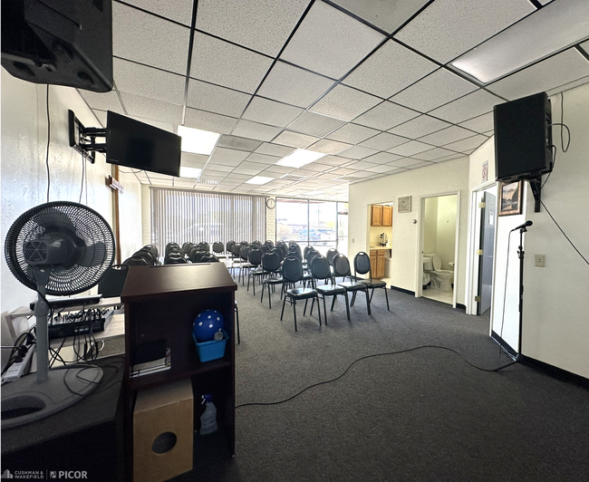
Medicalbuilding
Pima
X
Arizona
04019C2284L
5
2025
0.46 AC
2026
Central Tucson
003506
Tucson
4,498 SF
DEMOGRAPHICS near 4099 E 22Nd St
1 Mile
3 Mile
5 Mile
2024 Total Population
13,580
92,937
280,879
2029 Population
14,002
96,131
290,503
Pop Growth 2024-2029
+ 3.11%
+ 3.44%
+ 3.43%
Average Age
38
38
38
2024 Total Households
5,615
40,518
121,340
HH Growth 2024-2029
+ 3.13%
+ 3.49%
+ 3.51%
Median Household Inc
$41,356
$47,062
$44,167
Avg Household Size
2.40
2.20
2.20
2024 Avg HH Vehicles
2.00
2.00
2.00
Median Home Value
$168,354
$220,326
$210,666
Median Year Built
1959
1961
1971
Nearby Places
Map Layers
Map Styles
 Street
 Aerial
- Restaurants
- Banks
- Shops
- Fitness
- Groceries
PUBLIC TRANSPORTATION
COMMUTER RAIL
DRIVE
WALK
Distance
8 min
4.0 mi
AIRPORT
Tucson International
DRIVE
WALK
Distance
Tucson International
15 min
8.1 mi
SALE & LEASE HISTORY
LISTING DATE
SALE/LEASE

Sep 25, 2016
For Lease
Jun 14, 2019
For Lease
Dec 30, 2021
For Lease
Apr 01, 2025
For Lease
Nearby Properties
Address
Land Use
TOTAL SIZE
Lot Size
Zoning
Address
Land Use
TOTAL SIZE
Lot Size
Zoning
6,691,842 SF
179.97 AC
Address
Land Use
TOTAL SIZE
Lot Size
Zoning
2,315,205 SF
628.02 AC
I1
Address
Land Use
TOTAL SIZE
Lot Size
Zoning
840,246 SF
180.96 AC
R1
Address
Land Use
TOTAL SIZE
Lot Size
Zoning
53,431 SF
9.98 AC
Address
Land Use
TOTAL SIZE
Lot Size
Zoning
2,041,946 SF
640 AC
I1
Address
Land Use
TOTAL SIZE
Lot Size
Zoning
594,802 SF
62.57 AC
Address
Land Use
TOTAL SIZE
Lot Size
Zoning
473,573 SF
22.65 AC
C3
Address
Land Use
TOTAL SIZE
Lot Size
Zoning
360,881 SF
21.39 AC
Address
Land Use
TOTAL SIZE
Lot Size
Zoning
419,317 SF
7.23 AC
Address
Land Use
TOTAL SIZE
Lot Size
Zoning
256,275 SF
7.57 AC
R2
Address
Land Use
TOTAL SIZE
Lot Size
Zoning
200,511 SF
19.37 AC
Address
Land Use
TOTAL SIZE
Lot Size
Zoning
219,172 SF
193.24 AC
R1
Address
Land Use
TOTAL SIZE
Lot Size
Zoning
120,380 SF
53.50 AC
PAD15
Address
Land Use
TOTAL SIZE
Lot Size
Zoning
259,645 SF
37.28 AC
R1
Address
Land Use
TOTAL SIZE
Lot Size
Zoning
421,674 SF
8.10 AC
OCR2
Address
Land Use
TOTAL SIZE
Lot Size
Zoning
241,706 SF
160 AC
R1
Address
Land Use
TOTAL SIZE
Lot Size
Zoning
137,890 SF
8.28 AC
PAD1
Address
Land Use
TOTAL SIZE
Lot Size
Zoning
435,634 SF
4.29 AC
PAD1
Address
Land Use
TOTAL SIZE
Lot Size
Zoning
174,364 SF
7.36 AC
Address
Land Use
TOTAL SIZE
Lot Size
Zoning
31,672 SF
3 AC
CI2
Address
Land Use
TOTAL SIZE
Lot Size
Zoning
295,133 SF
36.29 AC
R1
Address
Land Use
TOTAL SIZE
Lot Size
Zoning
33.99 AC
CI1
Address
Land Use
TOTAL SIZE
Lot Size
Zoning
31.71 AC
Address
Land Use
TOTAL SIZE
Lot Size
Zoning
194,800 SF
477.22 AC
R1
Address
Land Use
TOTAL SIZE
Lot Size
Zoning
162,473 SF
6.08 AC
C3
Address
Land Use
TOTAL SIZE
Lot Size
Zoning
217,152 SF
5.37 AC
PAD1
Address
Land Use
TOTAL SIZE
Lot Size
Zoning
136,235 SF
8.46 AC
CI1
Address
Land Use
TOTAL SIZE
Lot Size
Zoning
286,164 SF
5.80 AC
C3
Address
Land Use
TOTAL SIZE
Lot Size
Zoning
71,205 SF
11.38 AC
Address
Land Use
TOTAL SIZE
Lot Size
Zoning
195,798 SF
12.04 AC
OCR2
The World's #1 Commercial Real Estate Marketplace
Connect with us
© 2026 CoStar Group
The information above has been obtained from sources believed reliable. While we do not doubt its accuracy we have not verified it and make no guarantee, warranty or representation about it. It is your responsibility to independently confirm its accuracy and completeness. Any projections, opinions, assumptions, or estimates used are for example only and do not represent the current or future performance of the property. The value of this transaction to you depends on tax and other factors which should be evaluated by your tax, financial, and legal advisors. You and your advisors should conduct a careful, independent investigation of the property to determine to your satisfaction the suitability of the property for your needs.