Property Record
405 W 8Th St, Monroe, WI 53566


NEARBY LISTINGS FOR SALE OR LEASE
Property Detail
405 W 8Th St
Other Market Areas
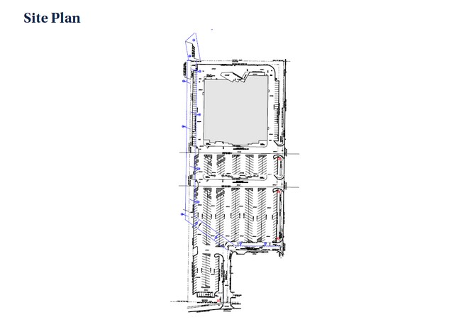
Certified Survey Map No 1487
Madison, WI
CSM 5320 (V25-P301) LOT 1 BNG PRT NE4
23-251-3900.4000
Green
Commercialnec
Wisconsin
2024
1
2024
7.68 AC
960400
Wisconsin South Area
DEMOGRAPHICS near 405 W 8Th St
1 Mile
3 Mile
5 Mile
2024 Total Population
2,377
12,267
13,589
2029 Population
2,372
12,313
13,624
Pop Growth 2024-2029
(0.21%)
+ 0.37%
+ 0.26%
Average Age
45
43
43
2024 Total Households
1,207
5,566
6,078
HH Growth 2024-2029
(0.17%)
+ 0.36%
+ 0.26%
Median Household Inc
$52,500
$59,731
$61,945
Avg Household Size
1.90
2.10
2.20
2024 Avg HH Vehicles
2.00
2.00
2.00
Median Home Value
$210,390
$157,830
$166,922
Median Year Built
1979
1971
1971
Nearby Places
Map Layers
Map Styles
 Street
 Aerial
- Restaurants
- Banks
- Shops
- Fitness
- Groceries
SALE & LEASE HISTORY
LISTING DATE
SALE/LEASE

Mar 28, 2017
For Sale
Jan 29, 2020
For Sale
Aug 03, 2018
For Sale
Nearby Properties
Address
Land Use
TOTAL SIZE
Lot Size
Zoning
Address
Land Use
TOTAL SIZE
Lot Size
Zoning
9.25 AC
Address
Land Use
TOTAL SIZE
Lot Size
Zoning
26.39 AC
Address
Land Use
TOTAL SIZE
Lot Size
Zoning
3.95 AC
Address
Land Use
TOTAL SIZE
Lot Size
Zoning
14.72 AC
Address
Land Use
TOTAL SIZE
Lot Size
Zoning
27.87 AC
Address
Land Use
TOTAL SIZE
Lot Size
Zoning
4.87 AC
Address
Land Use
TOTAL SIZE
Lot Size
Zoning
3.54 AC
Address
Land Use
TOTAL SIZE
Lot Size
Zoning
17.10 AC
Address
Land Use
TOTAL SIZE
Lot Size
Zoning
2.51 AC
Address
Land Use
TOTAL SIZE
Lot Size
Zoning
10.28 AC
Address
Land Use
TOTAL SIZE
Lot Size
Zoning
5.01 AC
Address
Land Use
TOTAL SIZE
Lot Size
Zoning
10.93 AC
Address
Land Use
TOTAL SIZE
Lot Size
Zoning
50.30 AC
Address
Land Use
TOTAL SIZE
Lot Size
Zoning
8.06 AC
Address
Land Use
TOTAL SIZE
Lot Size
Zoning
18.50 AC
Address
Land Use
TOTAL SIZE
Lot Size
Zoning
1.61 AC
Address
Land Use
TOTAL SIZE
Lot Size
Zoning
3.53 AC
Address
Land Use
TOTAL SIZE
Lot Size
Zoning
3.89 AC
Address
Land Use
TOTAL SIZE
Lot Size
Zoning
24.86 AC
Address
Land Use
TOTAL SIZE
Lot Size
Zoning
4.80 AC
Address
Land Use
TOTAL SIZE
Lot Size
Zoning
1.15 AC
Address
Land Use
TOTAL SIZE
Lot Size
Zoning
8.18 AC
Address
Land Use
TOTAL SIZE
Lot Size
Zoning
2.06 AC
Address
Land Use
TOTAL SIZE
Lot Size
Zoning
2.46 AC
Address
Land Use
TOTAL SIZE
Lot Size
Zoning
Address
Land Use
TOTAL SIZE
Lot Size
Zoning
0.66 AC
Address
Land Use
TOTAL SIZE
Lot Size
Zoning
8.77 AC
Address
Land Use
TOTAL SIZE
Lot Size
Zoning
1.36 AC
The World's #1 Commercial Real Estate Marketplace
Connect with us
© 2025 CoStar Group
The information above has been obtained from sources believed reliable. While we do not doubt its accuracy we have not verified it and make no guarantee, warranty or representation about it. It is your responsibility to independently confirm its accuracy and completeness. Any projections, opinions, assumptions, or estimates used are for example only and do not represent the current or future performance of the property. The value of this transaction to you depends on tax and other factors which should be evaluated by your tax, financial, and legal advisors. You and your advisors should conduct a careful, independent investigation of the property to determine to your satisfaction the suitability of the property for your needs.