Property Record
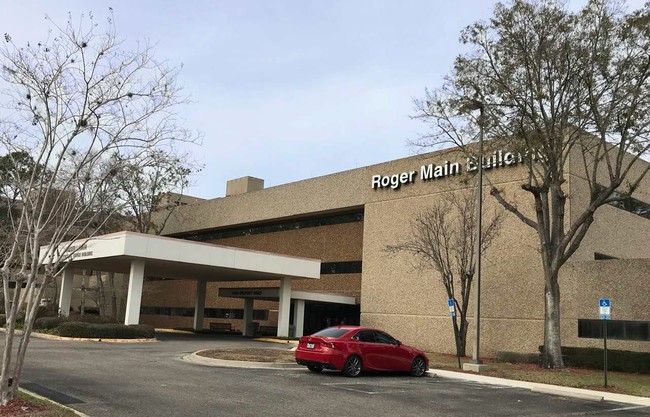
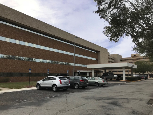
4051 W Belfort Rd, Jacksonville, FL 32216

NEARBY LISTINGS FOR SALE OR LEASE
-
-
View all Jacksonville listings for lease on LoopNet.com
Property Detail
4051 W Belfort Rd
152576-0250
Section Land
Hospitalpublic
51-3S-27E 49.2 PT FRANCIS GOODWIN GRANT, PT F RICHARD GRANT RECD O/R 14502-324 BEING PARCEL D
AE
Duval
12031C0389J
Florida
0
49.16 AC
2026
Southside
015929
Jacksonville (Florida)
371,466 SF
Jacksonville, FL
DEMOGRAPHICS near 4051 W Belfort Rd
1 Mile
3 Mile
5 Mile
2024 Total Population
9,846
86,924
203,051
2029 Population
10,376
91,549
213,387
Pop Growth 2024-2029
+ 5.38%
+ 5.32%
+ 5.09%
Average Age
37
38
38
2024 Total Households
4,501
38,292
87,546
HH Growth 2024-2029
+ 5.53%
+ 5.55%
+ 5.25%
Median Household Inc
$81,441
$58,272
$59,579
Avg Household Size
2.10
2.20
2.20
2024 Avg HH Vehicles
1.00
1.00
2.00
Median Home Value
$248,068
$219,974
$242,233
Median Year Built
2005
1986
1986
Nearby Places
Map Layers
Map Styles
 Street
 Aerial
- Restaurants
- Banks
- Shops
- Fitness
- Groceries
PUBLIC TRANSPORTATION
AIRPORT
Jacksonville International
DRIVE
WALK
Distance
Jacksonville International
29 min
23.7 mi
Freight Ports
Jacksonville Port
DRIVE
WALK
Distance
Jacksonville Port
1 min
7.5 mi
SALE & LEASE HISTORY
LISTING DATE
SALE/LEASE

Jan 26, 2018
For Lease
Nearby Properties
Address
Land Use
TOTAL SIZE
Lot Size
Zoning
Address
Land Use
TOTAL SIZE
Lot Size
Zoning
1,037,304 SF
103.91 AC
PUD
Address
Land Use
TOTAL SIZE
Lot Size
Zoning
1,159,855 SF
89.44 AC
RMD-D
Address
Land Use
TOTAL SIZE
Lot Size
Zoning
875,866 SF
22.33 AC
PBF-3
Address
Land Use
TOTAL SIZE
Lot Size
Zoning
251,691 SF
17.51 AC
PUD
Address
Land Use
TOTAL SIZE
Lot Size
Zoning
478,012 SF
29.87 AC
PUD
Address
Land Use
TOTAL SIZE
Lot Size
Zoning
419,299 SF
40.24 AC
PUD
Address
Land Use
TOTAL SIZE
Lot Size
Zoning
293,072 SF
16.52 AC
PUD
Address
Land Use
TOTAL SIZE
Lot Size
Zoning
186,482 SF
33.57 AC
PUD
Address
Land Use
TOTAL SIZE
Lot Size
Zoning
223,939 SF
13.28 AC
PUD
Address
Land Use
TOTAL SIZE
Lot Size
Zoning
209,436 SF
14.38 AC
PUD
Address
Land Use
TOTAL SIZE
Lot Size
Zoning
954,167 SF
56.79 AC
PUD
Address
Land Use
TOTAL SIZE
Lot Size
Zoning
475,463 SF
37.20 AC
PUD
Address
Land Use
TOTAL SIZE
Lot Size
Zoning
273,196 SF
16.57 AC
PUD
Address
Land Use
TOTAL SIZE
Lot Size
Zoning
306,416 SF
12.27 AC
PUD
Address
Land Use
TOTAL SIZE
Lot Size
Zoning
341,849 SF
15 AC
PUD
Address
Land Use
TOTAL SIZE
Lot Size
Zoning
217,557 SF
14.72 AC
PUD
Address
Land Use
TOTAL SIZE
Lot Size
Zoning
329,810 SF
33.39 AC
PUD
Address
Land Use
TOTAL SIZE
Lot Size
Zoning
446,326 SF
23.68 AC
RMD-D
Address
Land Use
TOTAL SIZE
Lot Size
Zoning
383,228 SF
40.69 AC
PUD
Address
Land Use
TOTAL SIZE
Lot Size
Zoning
276,424 SF
5.06 AC
PUD
Address
Land Use
TOTAL SIZE
Lot Size
Zoning
426,575 SF
32.98 AC
PUD
Address
Land Use
TOTAL SIZE
Lot Size
Zoning
464,189 SF
44.85 AC
RMD-D
Address
Land Use
TOTAL SIZE
Lot Size
Zoning
316,705 SF
15.44 AC
PUD
Address
Land Use
TOTAL SIZE
Lot Size
Zoning
250,989 SF
19.48 AC
PUD
Address
Land Use
TOTAL SIZE
Lot Size
Zoning
380,690 SF
6.68 AC
PUD
Address
Land Use
TOTAL SIZE
Lot Size
Zoning
249,222 SF
42.67 AC
PUD
Address
Land Use
TOTAL SIZE
Lot Size
Zoning
281,793 SF
17.43 AC
PUD
Address
Land Use
TOTAL SIZE
Lot Size
Zoning
193,941 SF
7.35 AC
PUD
Address
Land Use
TOTAL SIZE
Lot Size
Zoning
282,193 SF
18.68 AC
RMD-D
The World's #1 Commercial Real Estate Marketplace
Connect with us
© 2026 CoStar Group
The information above has been obtained from sources believed reliable. While we do not doubt its accuracy we have not verified it and make no guarantee, warranty or representation about it. It is your responsibility to independently confirm its accuracy and completeness. Any projections, opinions, assumptions, or estimates used are for example only and do not represent the current or future performance of the property. The value of this transaction to you depends on tax and other factors which should be evaluated by your tax, financial, and legal advisors. You and your advisors should conduct a careful, independent investigation of the property to determine to your satisfaction the suitability of the property for your needs.