Property Record
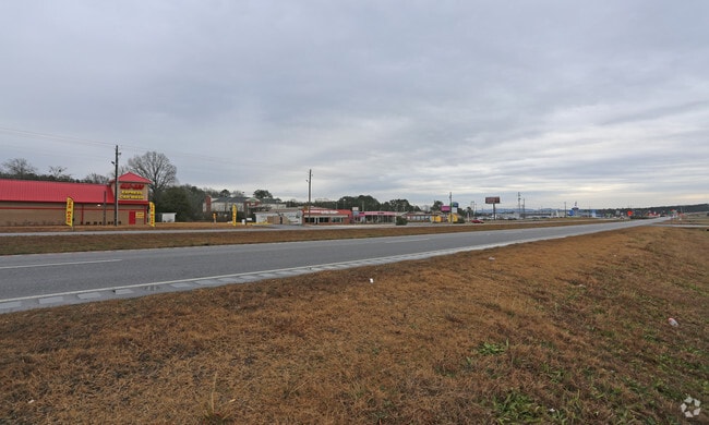
40670 Us Highway 280, Sylacauga, AL 35150


NEARBY LISTINGS FOR SALE OR LEASE
Property Detail
40670 Us Highway 280
28-07-26-1-000-025.000
400' X 210' (D) BEG 244.5' NW OF E/L & NE1/4 ON R/W U S HWY 280 BY-PASS S26 T21 R3 BY WILL
Commercialnec
Talladega
AE
Alabama
01121C0520F
1.94 AC
2025
Talladega County
2024
Birmingham
0119001020
Talladega-Sylacauga, AL
DEMOGRAPHICS near 40670 Us Highway 280
1 Mile
3 Mile
5 Mile
2024 Total Population
1,051
11,082
19,129
2029 Population
1,027
10,767
18,584
Pop Growth 2024-2029
(2.28%)
(2.84%)
(2.85%)
Average Age
40
42
42
2024 Total Households
439
4,805
8,210
HH Growth 2024-2029
(2.51%)
(3.08%)
(3.14%)
Median Household Inc
$41,718
$39,336
$41,198
Avg Household Size
2.40
2.20
2.30
2024 Avg HH Vehicles
2.00
2.00
2.00
Median Home Value
$92,700
$96,347
$99,412
Median Year Built
1983
1972
1975
Nearby Places
Map Layers
Map Styles
 Street
 Aerial
- Restaurants
- Banks
- Shops
- Fitness
- Groceries
PUBLIC TRANSPORTATION
AIRPORT
Birmingham-Shuttlesworth International
DRIVE
WALK
Distance
Birmingham-Shuttlesworth International
66 min
47.9 mi
SALE & LEASE HISTORY
LISTING DATE
SALE/LEASE

Sep 25, 2018
For Sale
Sep 25, 2018
For Sale
Sep 24, 2016
For Sale
Jan 28, 2019
For Sale
Jan 12, 2018
For Sale
Nearby Properties
Address
Land Use
TOTAL SIZE
Lot Size
Zoning
Address
Land Use
TOTAL SIZE
Lot Size
Zoning
Address
Land Use
TOTAL SIZE
Lot Size
Zoning
164,068 SF
50 AC
Address
Land Use
TOTAL SIZE
Lot Size
Zoning
Address
Land Use
TOTAL SIZE
Lot Size
Zoning
Address
Land Use
TOTAL SIZE
Lot Size
Zoning
46,758 SF
6.10 AC
Address
Land Use
TOTAL SIZE
Lot Size
Zoning
53,712 SF
7.39 AC
Address
Land Use
TOTAL SIZE
Lot Size
Zoning
Address
Land Use
TOTAL SIZE
Lot Size
Zoning
99,338 SF
5.46 AC
Address
Land Use
TOTAL SIZE
Lot Size
Zoning
101,128 SF
14.74 AC
Address
Land Use
TOTAL SIZE
Lot Size
Zoning
35,720 SF
11.12 AC
Address
Land Use
TOTAL SIZE
Lot Size
Zoning
Address
Land Use
TOTAL SIZE
Lot Size
Zoning
162,620 SF
36 AC
Address
Land Use
TOTAL SIZE
Lot Size
Zoning
60,750 SF
10 AC
Address
Land Use
TOTAL SIZE
Lot Size
Zoning
10,330 SF
1.03 AC
Address
Land Use
TOTAL SIZE
Lot Size
Zoning
92,460 SF
11.22 AC
Address
Land Use
TOTAL SIZE
Lot Size
Zoning
63,224 SF
13.48 AC
Address
Land Use
TOTAL SIZE
Lot Size
Zoning
9,496 SF
3.20 AC
Address
Land Use
TOTAL SIZE
Lot Size
Zoning
15,470 SF
1.93 AC
Address
Land Use
TOTAL SIZE
Lot Size
Zoning
192,512 SF
20 AC
Address
Land Use
TOTAL SIZE
Lot Size
Zoning
38,070 SF
11.60 AC
Address
Land Use
TOTAL SIZE
Lot Size
Zoning
62,244 SF
2.23 AC
Address
Land Use
TOTAL SIZE
Lot Size
Zoning
22,105 SF
1.36 AC
Address
Land Use
TOTAL SIZE
Lot Size
Zoning
76,519 SF
8.50 AC
Address
Land Use
TOTAL SIZE
Lot Size
Zoning
59,750 SF
12.42 AC
The World's #1 Commercial Real Estate Marketplace
Connect with us
© 2026 CoStar Group
The information above has been obtained from sources believed reliable. While we do not doubt its accuracy we have not verified it and make no guarantee, warranty or representation about it. It is your responsibility to independently confirm its accuracy and completeness. Any projections, opinions, assumptions, or estimates used are for example only and do not represent the current or future performance of the property. The value of this transaction to you depends on tax and other factors which should be evaluated by your tax, financial, and legal advisors. You and your advisors should conduct a careful, independent investigation of the property to determine to your satisfaction the suitability of the property for your needs.