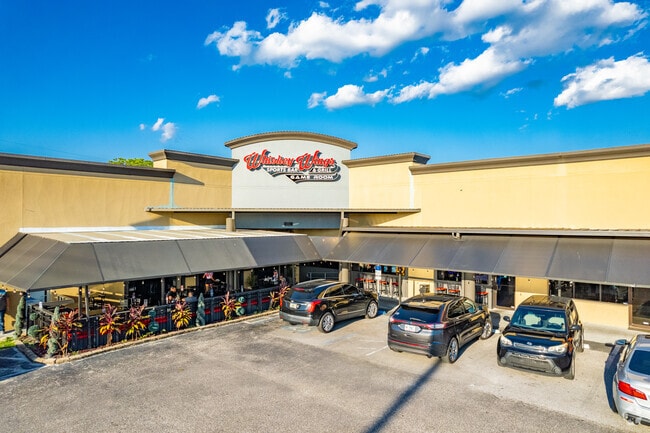
Property Record
40741 Us Highway 19 N, Tarpon Springs, FL 34689

NEARBY LISTINGS FOR SALE OR LEASE
Property Detail
40741 Us Highway 19 N
Tampa-St. Petersburg-Clearwater, FL
Youngs Sub De Luxe
07-27-16-99612-017-0020
YOUNGS SUB DE LUXE BLK 17, LOTS 2 THRU 5 INCL & LOTS 20 THRU 23 INCL & W 5FT OF LOTS 6 & 19 LESS RD R/W ON W PER DEED 1135/247 & OR 6245/2079 (SEE N18-27-16)
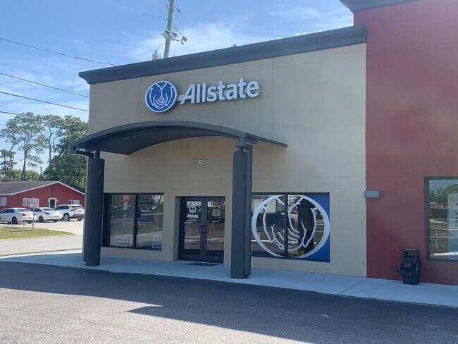
Regionalshoppingcenterormallwithanchorstore
Pinellas
X
Florida
12103C0038H
2
2024
1.05 AC
2025
North Pinellas
027404
Tampa/St Petersburg
17,198 SF
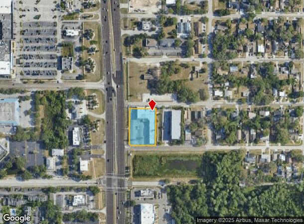
DEMOGRAPHICS near 40741 Us Highway 19 N
1 Mile
3 Mile
5 Mile
2024 Total Population
7,851
55,476
142,921
2029 Population
7,963
58,331
155,342
Pop Growth 2024-2029
+ 1.43%
+ 5.15%
+ 8.69%
Average Age
50
47
46
2024 Total Households
3,873
24,523
61,687
HH Growth 2024-2029
+ 1.14%
+ 5.07%
+ 8.49%
Median Household Inc
$42,663
$56,090
$56,883
Avg Household Size
2.00
2.20
2.30
2024 Avg HH Vehicles
1.00
2.00
2.00
Median Home Value
$193,198
$282,804
$277,280
Median Year Built
1980
1982
1982
Nearby Places
Map Layers
Map Styles
 Street
 Aerial
- Restaurants
- Banks
- Shops
- Fitness
- Groceries
PUBLIC TRANSPORTATION
AIRPORT
Tampa International
DRIVE
WALK
Distance
Tampa International
38 min
22.3 mi
St Pete-Clearwater International
DRIVE
WALK
Distance
St Pete-Clearwater International
39 min
22.5 mi
SALE & LEASE HISTORY
LISTING DATE
SALE/LEASE

Sep 25, 2016
For Lease
Jan 31, 2020
For Sale
Jan 21, 2021
For Sale
Jan 10, 2023
For Lease
Apr 21, 2022
For Lease
Nearby Properties
Address
Land Use
TOTAL SIZE
Lot Size
Zoning
Address
Land Use
TOTAL SIZE
Lot Size
Zoning
535,063 SF
34.58 AC
RPD5
Address
Land Use
TOTAL SIZE
Lot Size
Zoning
341,775 SF
43.99 AC
Address
Land Use
TOTAL SIZE
Lot Size
Zoning
322,856 SF
70.93 AC
RPD5
Address
Land Use
TOTAL SIZE
Lot Size
Zoning
214,040 SF
8.47 AC
Address
Land Use
TOTAL SIZE
Lot Size
Zoning
286,598 SF
6.56 AC
Address
Land Use
TOTAL SIZE
Lot Size
Zoning
171,009 SF
49.16 AC
RPD10
Address
Land Use
TOTAL SIZE
Lot Size
Zoning
208,427 SF
12.11 AC
Address
Land Use
TOTAL SIZE
Lot Size
Zoning
333,044 SF
25.64 AC
R4
Address
Land Use
TOTAL SIZE
Lot Size
Zoning
144,838 SF
15.52 AC
CP1
Address
Land Use
TOTAL SIZE
Lot Size
Zoning
154,033 SF
15.86 AC
Address
Land Use
TOTAL SIZE
Lot Size
Zoning
137,649 SF
8.08 AC
Address
Land Use
TOTAL SIZE
Lot Size
Zoning
273,134 SF
1.44 AC
RPD5
Address
Land Use
TOTAL SIZE
Lot Size
Zoning
151,825 SF
18.01 AC
Address
Land Use
TOTAL SIZE
Lot Size
Zoning
4,955 SF
135.03 AC
Address
Land Use
TOTAL SIZE
Lot Size
Zoning
91,644 SF
29.39 AC
RPD25
Address
Land Use
TOTAL SIZE
Lot Size
Zoning
50,741 SF
9.85 AC
RPD5
Address
Land Use
TOTAL SIZE
Lot Size
Zoning
36,668 SF
65.18 AC
AE
Address
Land Use
TOTAL SIZE
Lot Size
Zoning
131,819 SF
11.24 AC
Address
Land Use
TOTAL SIZE
Lot Size
Zoning
81,053 SF
9.52 AC
Address
Land Use
TOTAL SIZE
Lot Size
Zoning
121,869 SF
4.72 AC
C2
Address
Land Use
TOTAL SIZE
Lot Size
Zoning
141,763 SF
12.96 AC
Address
Land Use
TOTAL SIZE
Lot Size
Zoning
67,179 SF
9.52 AC
Address
Land Use
TOTAL SIZE
Lot Size
Zoning
80,212 SF
6.64 AC
Address
Land Use
TOTAL SIZE
Lot Size
Zoning
86,556 SF
7.44 AC
R6
Address
Land Use
TOTAL SIZE
Lot Size
Zoning
77,716 SF
2.54 AC
Address
Land Use
TOTAL SIZE
Lot Size
Zoning
203,135 SF
41.04 AC
C2
Address
Land Use
TOTAL SIZE
Lot Size
Zoning
143,430 SF
8.68 AC
Address
Land Use
TOTAL SIZE
Lot Size
Zoning
87,794 SF
7.97 AC
Address
Land Use
TOTAL SIZE
Lot Size
Zoning
70,901 SF
5.70 AC
Address
Land Use
TOTAL SIZE
Lot Size
Zoning
66.18 AC
RPD5
The World's #1 Commercial Real Estate Marketplace
Connect with us
© 2025 CoStar Group
The information above has been obtained from sources believed reliable. While we do not doubt its accuracy we have not verified it and make no guarantee, warranty or representation about it. It is your responsibility to independently confirm its accuracy and completeness. Any projections, opinions, assumptions, or estimates used are for example only and do not represent the current or future performance of the property. The value of this transaction to you depends on tax and other factors which should be evaluated by your tax, financial, and legal advisors. You and your advisors should conduct a careful, independent investigation of the property to determine to your satisfaction the suitability of the property for your needs.