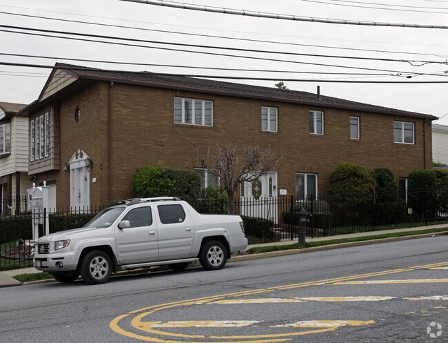
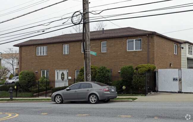
Property Record
41 Brunswick St, Staten Island, NY 10314
NEARBY LISTINGS FOR SALE OR LEASE
Property Detail
41 Brunswick St
02397-0001
Staten Island
Commercialofficeresidentialmixeduse
New York
X
1
3604970308F
0.08 AC
2024
Staten Island
2025
Long Island (New York)
027705
New York-Jersey City-White Plains, NY-NJ
2,900 SF
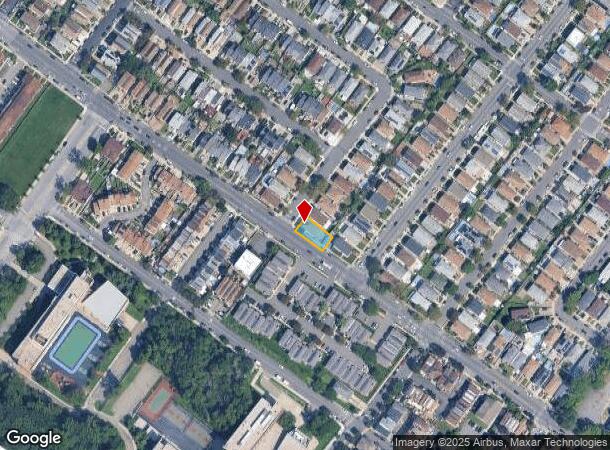
DEMOGRAPHICS near 41 Brunswick St
1 Mile
3 Mile
5 Mile
2024 Total Population
23,229
199,075
467,743
2029 Population
22,673
195,763
459,553
Pop Growth 2024-2029
(2.39%)
(1.66%)
(1.75%)
Average Age
43
42
41
2024 Total Households
8,715
70,452
162,015
HH Growth 2024-2029
(2.15%)
(1.71%)
(1.81%)
Median Household Inc
$88,341
$97,261
$88,829
Avg Household Size
2.60
2.80
2.80
2024 Avg HH Vehicles
2.00
2.00
2.00
Median Home Value
$591,451
$664,147
$627,571
Median Year Built
1981
1974
1972
Nearby Places
Map Layers
Map Styles
 Street
 Aerial
- Restaurants
- Banks
- Shops
- Fitness
- Groceries
PUBLIC TRANSPORTATION
COMMUTER RAIL
Oakwood Heights (Staten Island Railway - New York MTA Subway (The Subway))
DRIVE
WALK
Distance
Oakwood Heights (Staten Island Railway - New York MTA Subway (The Subway))
9 min
2.5 mi
Bay Terrace (Staten Island Railway - New York MTA Subway (The Subway))
DRIVE
WALK
Distance
Bay Terrace (Staten Island Railway - New York MTA Subway (The Subway))
10 min
2.9 mi
AIRPORT
Newark Liberty International
DRIVE
WALK
Distance
Newark Liberty International
24 min
14.4 mi
LaGuardia
DRIVE
WALK
Distance
LaGuardia
45 min
25.8 mi
John F Kennedy International
DRIVE
WALK
Distance
John F Kennedy International
44 min
28.5 mi
Freight Ports
New York Container Terminal
DRIVE
WALK
Distance
New York Container Terminal
10 min
4.9 mi
Nearby Properties
Address
Land Use
TOTAL SIZE
Lot Size
Zoning
Address
Land Use
TOTAL SIZE
Lot Size
Zoning
3,600 SF
731.18 AC
PARK
Address
Land Use
TOTAL SIZE
Lot Size
Zoning
196.03 AC
HIA
Address
Land Use
TOTAL SIZE
Lot Size
Zoning
633,280 SF
202.90 AC
R3-2
Address
Land Use
TOTAL SIZE
Lot Size
Zoning
686,130 SF
189.62 AC
R3-2
Address
Land Use
TOTAL SIZE
Lot Size
Zoning
237 AC
M1-1
Address
Land Use
TOTAL SIZE
Lot Size
Zoning
1,258,042 SF
14.47 AC
C4-1
Address
Land Use
TOTAL SIZE
Lot Size
Zoning
146 AC
PARK
Address
Land Use
TOTAL SIZE
Lot Size
Zoning
566,000 SF
103.31 AC
R3-2
Address
Land Use
TOTAL SIZE
Lot Size
Zoning
855,000 SF
48.74 AC
M3-1
Address
Land Use
TOTAL SIZE
Lot Size
Zoning
263,925 SF
11.98 AC
R50
Address
Land Use
TOTAL SIZE
Lot Size
Zoning
7.24 AC
Address
Land Use
TOTAL SIZE
Lot Size
Zoning
131.25 AC
PARK
Address
Land Use
TOTAL SIZE
Lot Size
Zoning
310,560 SF
15.90 AC
C4-1
Address
Land Use
TOTAL SIZE
Lot Size
Zoning
21,120 SF
14.45 AC
R50
Address
Land Use
TOTAL SIZE
Lot Size
Zoning
5,214 SF
93 AC
M3-1
Address
Land Use
TOTAL SIZE
Lot Size
Zoning
Address
Land Use
TOTAL SIZE
Lot Size
Zoning
494,840 SF
34.77 AC
R3-2
Address
Land Use
TOTAL SIZE
Lot Size
Zoning
970,000 SF
55.25 AC
M3-1
Address
Land Use
TOTAL SIZE
Lot Size
Zoning
195,395 SF
12.04 AC
R3-2
Address
Land Use
TOTAL SIZE
Lot Size
Zoning
104.30 AC
PARK
Address
Land Use
TOTAL SIZE
Lot Size
Zoning
975,000 SF
58.52 AC
M3-1
Address
Land Use
TOTAL SIZE
Lot Size
Zoning
418,012 SF
6.74 AC
R3-1
Address
Land Use
TOTAL SIZE
Lot Size
Zoning
421,275 SF
18.95 AC
R3-2
Address
Land Use
TOTAL SIZE
Lot Size
Zoning
450,000 SF
33.26 AC
M3-1
Address
Land Use
TOTAL SIZE
Lot Size
Zoning
294,320 SF
15 AC
R3-2
Address
Land Use
TOTAL SIZE
Lot Size
Zoning
505,000 SF
3.79 AC
R3A
Address
Land Use
TOTAL SIZE
Lot Size
Zoning
66.37 AC
PARK
Address
Land Use
TOTAL SIZE
Lot Size
Zoning
328,319 SF
8.58 AC
M1-1
Address
Land Use
TOTAL SIZE
Lot Size
Zoning
48,500 SF
61.98 AC
R3-2
Address
Land Use
TOTAL SIZE
Lot Size
Zoning
74,000 SF
523.69 AC
R3-2
The World's #1 Commercial Real Estate Marketplace
Connect with us
© 2025 CoStar Group
The information above has been obtained from sources believed reliable. While we do not doubt its accuracy we have not verified it and make no guarantee, warranty or representation about it. It is your responsibility to independently confirm its accuracy and completeness. Any projections, opinions, assumptions, or estimates used are for example only and do not represent the current or future performance of the property. The value of this transaction to you depends on tax and other factors which should be evaluated by your tax, financial, and legal advisors. You and your advisors should conduct a careful, independent investigation of the property to determine to your satisfaction the suitability of the property for your needs.