Property Record
410 E Main St, Centerport, NY 11721


This Property Is For Sale
NEARBY LISTINGS FOR SALE OR LEASE
Property Detail
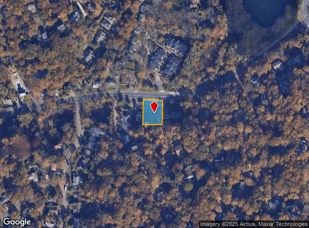
410 E Main St
Nassau County-Suffolk County, NY
Shorewood
0400-079-00-01-00-002-001
BLK LOT 12,13PO14
Officebuilding
Suffolk
X
New York
36103C0319H
2
2024
0.35 AC
2024
Western Suffolk
111300
Long Island (New York)
DEMOGRAPHICS near 410 E Main St
1 mile
3 mile
5 mile
2024 Total Population
6,282
66,873
148,190
2029 Population
6,193
65,527
145,177
Pop Growth 2024-2029
(1.42%)
(2.01%)
(2.03%)
Average Age
43
43
42
2024 Total Households
2,209
23,935
50,237
HH Growth 2024-2029
(1.58%)
(2.23%)
(2.25%)
Median Household Inc
$192,060
$141,093
$143,386
Avg Household Size
2.80
2.70
2.80
2024 Avg HH Vehicles
2.00
2.00
2.00
Median Home Value
$768,691
$695,679
$688,193
Median Year Built
1957
1958
1959
Nearby Places
Map Layers
Map Styles
 Street
 Aerial
Transit
 Traffic
 Biking
Places
Listings with unknown addresses are not visible on the map
- Restaurants
- Banks
- Shops
- Fitness
- Groceries
PUBLIC TRANSPORTATION
COMMUTER RAIL
Greenlawn Station (Port Jefferson Branch - Long Island Rail Road)
Drive
Walk
Distance
Greenlawn Station (Port Jefferson Branch - Long Island Rail Road)
5 min
1.9 mi
Northport Station (Port Jefferson Branch - Long Island Rail Road)
Drive
Walk
Distance
Northport Station (Port Jefferson Branch - Long Island Rail Road)
7 min
3.6 mi
AIRPORT
Long Island MacArthur
Drive
Walk
Distance
Long Island MacArthur
33 min
19.5 mi
LaGuardia
Drive
Walk
Distance
LaGuardia
51 min
32.1 mi
John F Kennedy International
Drive
Walk
Distance
John F Kennedy International
53 min
33.9 mi
Freight Ports
NY - Red Hook Container Terminal
Drive
Walk
Distance
NY - Red Hook Container Terminal
62 min
40.2 mi
Nearby Properties
Address
Land Use
TOTAL SIZE
Lot Size
Zoning
Address
Land Use
TOTAL SIZE
Lot Size
Zoning
7,431 SF
2.90 AC
VILLA
Address
Land Use
TOTAL SIZE
Lot Size
Zoning
3,739 SF
0.56 AC
VILLA
Address
Land Use
TOTAL SIZE
Lot Size
Zoning
4,960 SF
0.42 AC
VILLA
Address
Land Use
TOTAL SIZE
Lot Size
Zoning
42.21 AC
CA
Address
Land Use
TOTAL SIZE
Lot Size
Zoning
7,020 SF
2.01 AC
VILLA
Address
Land Use
TOTAL SIZE
Lot Size
Zoning
7,372 SF
1.80 AC
VILLA
Address
Land Use
TOTAL SIZE
Lot Size
Zoning
3,141 SF
0.40 AC
VILLA
Address
Land Use
TOTAL SIZE
Lot Size
Zoning
2,597 SF
0.38 AC
VILLA
Address
Land Use
TOTAL SIZE
Lot Size
Zoning
3,847 SF
0.55 AC
VILLA
Address
Land Use
TOTAL SIZE
Lot Size
Zoning
836 SF
0.36 AC
VILLA
Address
Land Use
TOTAL SIZE
Lot Size
Zoning
40,330 SF
0.42 AC
VILLA
Address
Land Use
TOTAL SIZE
Lot Size
Zoning
2,131 SF
0.36 AC
VILLA
Address
Land Use
TOTAL SIZE
Lot Size
Zoning
1,884 SF
0.88 AC
VILLA
Address
Land Use
TOTAL SIZE
Lot Size
Zoning
3,659 SF
0.52 AC
VILLA
Address
Land Use
TOTAL SIZE
Lot Size
Zoning
4,518 SF
1.25 AC
VILLA
Address
Land Use
TOTAL SIZE
Lot Size
Zoning
5,175 SF
1.70 AC
VILLA
Address
Land Use
TOTAL SIZE
Lot Size
Zoning
2,677 SF
0.84 AC
R15
Address
Land Use
TOTAL SIZE
Lot Size
Zoning
5,991 SF
0.47 AC
VILLA
Address
Land Use
TOTAL SIZE
Lot Size
Zoning
5,076 SF
0.14 AC
VILLA
Address
Land Use
TOTAL SIZE
Lot Size
Zoning
0.41 AC
VILLA
Address
Land Use
TOTAL SIZE
Lot Size
Zoning
3,206 SF
0.43 AC
R15
Address
Land Use
TOTAL SIZE
Lot Size
Zoning
6,260 SF
2 AC
VILLA
Address
Land Use
TOTAL SIZE
Lot Size
Zoning
5,824 SF
1.50 AC
VILLA
Address
Land Use
TOTAL SIZE
Lot Size
Zoning
1,342 SF
0.63 AC
VILLA
Address
Land Use
TOTAL SIZE
Lot Size
Zoning
4,377 SF
0.99 AC
VILLA
Address
Land Use
TOTAL SIZE
Lot Size
Zoning
2,765 SF
0.27 AC
R10
Address
Land Use
TOTAL SIZE
Lot Size
Zoning
0.80 AC
CR60
Address
Land Use
TOTAL SIZE
Lot Size
Zoning
2,969 SF
0.34 AC
R15
Address
Land Use
TOTAL SIZE
Lot Size
Zoning
3,438 SF
1.10 AC
VILLA
Address
Land Use
TOTAL SIZE
Lot Size
Zoning
3,600 SF
0.90 AC
R1
The World's #1 Commercial Real Estate Marketplace
Connect with us
© 2026 CoStar Group
The information above has been obtained from sources believed reliable. While we do not doubt its accuracy we have not verified it and make no guarantee, warranty or representation about it. It is your responsibility to independently confirm its accuracy and completeness. Any projections, opinions, assumptions, or estimates used are for example only and do not represent the current or future performance of the property. The value of this transaction to you depends on tax and other factors which should be evaluated by your tax, financial, and legal advisors. You and your advisors should conduct a careful, independent investigation of the property to determine to your satisfaction the suitability of the property for your needs.