Property Record
4100 Sara Rd Se, Rio Rancho, NM 87124

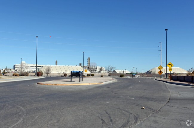
Property Detail
4100 Sara Rd Se
1-013-067-501-189
LEGAL: S: 31 T: 12N R: 3E S: 32 T: 12N R: 3E SUBD: LANDS OF INTEL TRACT: C2
Vacantlandnec
SANDOVAL
B and X Area of moderate flood hazard, usually the area between the limits of the 100-year and 500-year floods.
New Mexico
2024
123.59 AC
2025
Rio Rancho
980000
Albuquerque
2,095,144 SF
Albuquerque, NM
NEARBY LISTINGS FOR SALE OR LEASE
-
-
View all Rio Rancho listings for sale on LoopNet.com
DEMOGRAPHICS near 4100 Sara Rd Se
1 mile
3 mile
5 mile
2025 Total Population
6,693
74,195
145,786
2030 Population
6,951
75,372
147,820
Pop Growth 2025-2030
+ 3.85%
+ 1.59%
+ 1.40%
Average Age
49
43
42
2025 Total Households
2,958
29,454
56,735
HH Growth 2025-2030
+ 4.02%
+ 1.51%
+ 1.27%
Median Household Inc
$67,648
$88,029
$85,579
Avg Household Size
2.10
2.50
2.50
2025 Avg HH Vehicles
2.00
2.00
2.00
Median Home Value
$343,288
$349,644
$341,020
Median Year Built
1987
1993
1994
Nearby Places
Map Layers
Map Styles
 Street
 Aerial
Transit
 Traffic
 Biking
Places
Listings with unknown addresses are not visible on the map
- Restaurants
- Banks
- Shops
- Fitness
- Groceries
PUBLIC TRANSPORTATION
COMMUTER RAIL
Los Ranchos/Journal Center Rail Runner Station (NMRX - Rio Metro Regional Transit District)
Drive
Walk
Distance
Los Ranchos/Journal Center Rail Runner Station (NMRX - Rio Metro Regional Transit District)
15 min
6.9 mi
Sandia Pueblo Rail Runner Station (NMRX - Rio Metro Regional Transit District)
Drive
Walk
Distance
Sandia Pueblo Rail Runner Station (NMRX - Rio Metro Regional Transit District)
15 min
7.5 mi
AIRPORT
Albuquerque International Sunport
Drive
Walk
Distance
Albuquerque International Sunport
45 min
20.5 mi
Freight Ports
Tulsa Port Of Catoosa
Drive
Walk
Distance
Tulsa Port Of Catoosa
709 min
671.8 mi
Nearby Properties
Address
Land Use
TOTAL SIZE
Lot Size
Zoning
Address
Land Use
TOTAL SIZE
Lot Size
Zoning
1,087,991 SF
55.76 AC
Address
Land Use
TOTAL SIZE
Lot Size
Zoning
494,839 SF
37.05 AC
Address
Land Use
TOTAL SIZE
Lot Size
Zoning
212,122 SF
9.99 AC
Address
Land Use
TOTAL SIZE
Lot Size
Zoning
381,500 SF
111.32 AC
Address
Land Use
TOTAL SIZE
Lot Size
Zoning
410,793 SF
32.43 AC
Address
Land Use
TOTAL SIZE
Lot Size
Zoning
313,427 SF
45.52 AC
Address
Land Use
TOTAL SIZE
Lot Size
Zoning
67,905 SF
4.25 AC
Address
Land Use
TOTAL SIZE
Lot Size
Zoning
221,360 SF
8.78 AC
Address
Land Use
TOTAL SIZE
Lot Size
Zoning
176,140 SF
6.15 AC
Address
Land Use
TOTAL SIZE
Lot Size
Zoning
Address
Land Use
TOTAL SIZE
Lot Size
Zoning
36,528 SF
13.05 AC
Address
Land Use
TOTAL SIZE
Lot Size
Zoning
106,332 SF
21.64 AC
Address
Land Use
TOTAL SIZE
Lot Size
Zoning
229,216 SF
20.25 AC
Address
Land Use
TOTAL SIZE
Lot Size
Zoning
69,724 SF
7.86 AC
Address
Land Use
TOTAL SIZE
Lot Size
Zoning
25,668 SF
22.52 AC
Address
Land Use
TOTAL SIZE
Lot Size
Zoning
93,440 SF
12.91 AC
Address
Land Use
TOTAL SIZE
Lot Size
Zoning
307,481 SF
17.50 AC
Address
Land Use
TOTAL SIZE
Lot Size
Zoning
137,071 SF
8.30 AC
Address
Land Use
TOTAL SIZE
Lot Size
Zoning
207,228 SF
19.57 AC
Address
Land Use
TOTAL SIZE
Lot Size
Zoning
62,881 SF
4.67 AC
Address
Land Use
TOTAL SIZE
Lot Size
Zoning
214,871 SF
20.04 AC
Address
Land Use
TOTAL SIZE
Lot Size
Zoning
40,920 SF
11.83 AC
Address
Land Use
TOTAL SIZE
Lot Size
Zoning
142,351 SF
7.59 AC
Address
Land Use
TOTAL SIZE
Lot Size
Zoning
152,894 SF
14.11 AC
Address
Land Use
TOTAL SIZE
Lot Size
Zoning
126,044 SF
4.48 AC
Address
Land Use
TOTAL SIZE
Lot Size
Zoning
68,123 SF
6.81 AC
Address
Land Use
TOTAL SIZE
Lot Size
Zoning
84,319 SF
25.98 AC
Address
Land Use
TOTAL SIZE
Lot Size
Zoning
129,400 SF
13.53 AC
Address
Land Use
TOTAL SIZE
Lot Size
Zoning
75,911 SF
6.80 AC
The World's #1 Commercial Real Estate Marketplace
Connect with us
© 2026 CoStar Group
The information above has been obtained from sources believed reliable. While we do not doubt its accuracy we have not verified it and make no guarantee, warranty or representation about it. It is your responsibility to independently confirm its accuracy and completeness. Any projections, opinions, assumptions, or estimates used are for example only and do not represent the current or future performance of the property. The value of this transaction to you depends on tax and other factors which should be evaluated by your tax, financial, and legal advisors. You and your advisors should conduct a careful, independent investigation of the property to determine to your satisfaction the suitability of the property for your needs.