Property Record
4101 19Th Ave N, Fargo, ND 58102
NEARBY LISTINGS FOR SALE OR LEASE
Property Detail
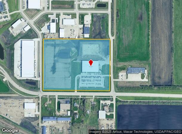
4101 19Th Ave N
Fargo, ND-MN
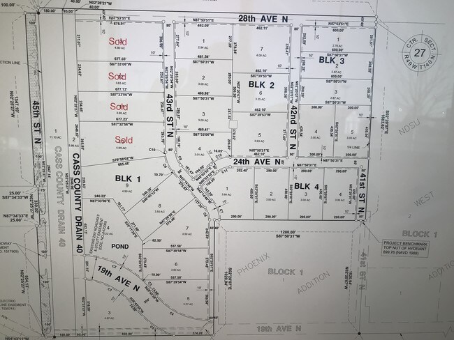
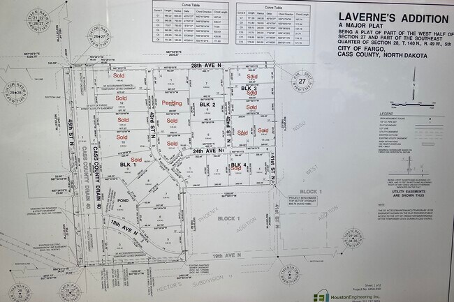
Phoenix
01-8467-00100-000
LOT: 1 BLOCK: 1 ADDITION: PHOENIX ADDITION ADDITIONAL: PHOENIX ADDN LT 1 BLK 1 **10-4-11 PLATTED FRM 01-3504-04000-000
Realpropertynec
Cass
X
North Dakota
38017C0588G
1
2024
25.37 AC
2024
Fargo
000300
Other Market Areas
60,125 SF
DEMOGRAPHICS near 4101 19Th Ave N
1 Mile
3 Mile
5 Mile
2024 Total Population
30
25,768
115,155
2029 Population
33
27,213
122,489
Pop Growth 2024-2029
+ 10.00%
+ 5.61%
+ 6.37%
Average Age
37
33
37
2024 Total Households
10
9,437
51,185
HH Growth 2024-2029
+ 10.00%
+ 7.63%
+ 7.18%
Median Household Inc
$137,500
$49,239
$56,572
Avg Household Size
2.80
2.10
2.00
2024 Avg HH Vehicles
2.00
2.00
2.00
Median Home Value
$350,000
$177,696
$227,114
Median Year Built
1995
1986
1981
Nearby Places
Map Layers
Map Styles
 Street
 Aerial
- Restaurants
- Banks
- Shops
- Fitness
- Groceries
PUBLIC TRANSPORTATION
COMMUTER RAIL
Fargo Amtrak Station (Empire Builder - Amtrak)
DRIVE
WALK
Distance
Fargo Amtrak Station (Empire Builder - Amtrak)
10 min
5.0 mi
AIRPORT
Hector International
DRIVE
WALK
Distance
Hector International
9 min
4.3 mi
Freight Ports
Port Milwaukee
DRIVE
WALK
Distance
Port Milwaukee
635 min
577.8 mi
SALE & LEASE HISTORY
LISTING DATE
SALE/LEASE

Apr 25, 2019
For Sale
Nearby Properties
Address
Land Use
TOTAL SIZE
Lot Size
Zoning
Address
Land Use
TOTAL SIZE
Lot Size
Zoning
Address
Land Use
TOTAL SIZE
Lot Size
Zoning
122,006 SF
24.45 AC
GI
Address
Land Use
TOTAL SIZE
Lot Size
Zoning
175,969 SF
35.10 AC
GI
Address
Land Use
TOTAL SIZE
Lot Size
Zoning
621,097 SF
49.49 AC
LI
Address
Land Use
TOTAL SIZE
Lot Size
Zoning
12.07 AC
Address
Land Use
TOTAL SIZE
Lot Size
Zoning
3.31 AC
Address
Land Use
TOTAL SIZE
Lot Size
Zoning
109,174 SF
1.25 AC
UMU
Address
Land Use
TOTAL SIZE
Lot Size
Zoning
12.33 AC
PAC
Address
Land Use
TOTAL SIZE
Lot Size
Zoning
303,970 SF
49.72 AC
GI
Address
Land Use
TOTAL SIZE
Lot Size
Zoning
Address
Land Use
TOTAL SIZE
Lot Size
Zoning
37.39 AC
Address
Land Use
TOTAL SIZE
Lot Size
Zoning
206,540 SF
16.68 AC
GI
Address
Land Use
TOTAL SIZE
Lot Size
Zoning
Address
Land Use
TOTAL SIZE
Lot Size
Zoning
75 AC
MHP
Address
Land Use
TOTAL SIZE
Lot Size
Zoning
218,579 SF
21.28 AC
GC
Address
Land Use
TOTAL SIZE
Lot Size
Zoning
49.50 AC
Address
Land Use
TOTAL SIZE
Lot Size
Zoning
152,508 SF
13.85 AC
GI
Address
Land Use
TOTAL SIZE
Lot Size
Zoning
155,989 SF
11.62 AC
GC
Address
Land Use
TOTAL SIZE
Lot Size
Zoning
15,895 SF
41.76 AC
Address
Land Use
TOTAL SIZE
Lot Size
Zoning
135,235 SF
6.01 AC
GC
Address
Land Use
TOTAL SIZE
Lot Size
Zoning
242,032 SF
14.23 AC
GI
Address
Land Use
TOTAL SIZE
Lot Size
Zoning
99,300 SF
12.72 AC
Address
Land Use
TOTAL SIZE
Lot Size
Zoning
Address
Land Use
TOTAL SIZE
Lot Size
Zoning
207,189 SF
23.72 AC
Address
Land Use
TOTAL SIZE
Lot Size
Zoning
12.97 AC
GI
Address
Land Use
TOTAL SIZE
Lot Size
Zoning
Address
Land Use
TOTAL SIZE
Lot Size
Zoning
79,310 SF
17.79 AC
Address
Land Use
TOTAL SIZE
Lot Size
Zoning
271,139 SF
14.28 AC
LI
Address
Land Use
TOTAL SIZE
Lot Size
Zoning
10.68 AC
The World's #1 Commercial Real Estate Marketplace
Connect with us
© 2026 CoStar Group
The information above has been obtained from sources believed reliable. While we do not doubt its accuracy we have not verified it and make no guarantee, warranty or representation about it. It is your responsibility to independently confirm its accuracy and completeness. Any projections, opinions, assumptions, or estimates used are for example only and do not represent the current or future performance of the property. The value of this transaction to you depends on tax and other factors which should be evaluated by your tax, financial, and legal advisors. You and your advisors should conduct a careful, independent investigation of the property to determine to your satisfaction the suitability of the property for your needs.