Property Record
411 No Main St, Lacey, NJ 08731


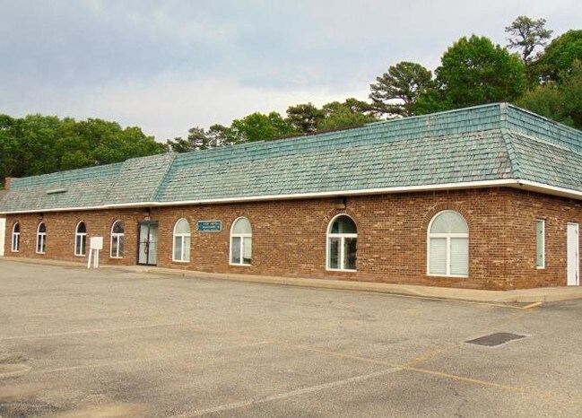

Property Detail
411 No Main St
Lakewood-New Brunswick, NJ
198 X 253
13-00520-0000-00002-01
OCEAN
Commercialnec
New Jersey
C150
2.1
B and X Area of moderate flood hazard, usually the area between the limits of the 100-year and 500-year floods.
1.15 AC
2025
Ocean County
2025
Northern New Jersey
732003
NEARBY LISTINGS FOR SALE OR LEASE
DEMOGRAPHICS near 411 No Main St
1 mile
3 mile
5 mile
2025 Total Population
6,630
34,569
56,424
2030 Population
6,766
35,480
58,023
Pop Growth 2025-2030
+ 2.05%
+ 2.64%
+ 2.83%
Average Age
40
41
41
2025 Total Households
2,325
12,832
20,942
HH Growth 2025-2030
+ 1.59%
+ 2.19%
+ 2.38%
Median Household Inc
$122,239
$102,767
$101,670
Avg Household Size
2.70
2.60
2.60
2025 Avg HH Vehicles
2.00
2.00
2.00
Median Home Value
$410,332
$397,866
$392,237
Median Year Built
1981
1981
1982
Nearby Places
Map Layers
Map Styles
 Street
 Aerial
Layers
 Traffic
 Biking
Places
Listings with unknown addresses are not visible on the map
- Restaurants
- Banks
- Shops
- Fitness
- Groceries
SALE & LEASE HISTORY
LISTING DATE
SALE/LEASE

Jul 24, 2019
For Lease
Jul 24, 2019
For Sale
Nearby Properties
Address
Land Use
TOTAL SIZE
Lot Size
Zoning
Address
Land Use
TOTAL SIZE
Lot Size
Zoning
139.60 AC
M6
Address
Land Use
TOTAL SIZE
Lot Size
Zoning
96.60 AC
R100
Address
Land Use
TOTAL SIZE
Lot Size
Zoning
2,000 SF
94 AC
CR
Address
Land Use
TOTAL SIZE
Lot Size
Zoning
72.26 AC
R100
Address
Land Use
TOTAL SIZE
Lot Size
Zoning
21.34 AC
C200
Address
Land Use
TOTAL SIZE
Lot Size
Zoning
10.49 AC
PURD
Address
Land Use
TOTAL SIZE
Lot Size
Zoning
9,617 SF
14.28 AC
WTB1
Address
Land Use
TOTAL SIZE
Lot Size
Zoning
142,047 SF
18.72 AC
C150
Address
Land Use
TOTAL SIZE
Lot Size
Zoning
4,102 SF
8 AC
HB
Address
Land Use
TOTAL SIZE
Lot Size
Zoning
9.88 AC
C150
Address
Land Use
TOTAL SIZE
Lot Size
Zoning
5,364 SF
16.30 AC
R125
Address
Land Use
TOTAL SIZE
Lot Size
Zoning
28.80 AC
R100
Address
Land Use
TOTAL SIZE
Lot Size
Zoning
960 SF
9.62 AC
R100
Address
Land Use
TOTAL SIZE
Lot Size
Zoning
19.28 AC
MLOF
Address
Land Use
TOTAL SIZE
Lot Size
Zoning
6.14 AC
C150
Address
Land Use
TOTAL SIZE
Lot Size
Zoning
9.45 AC
C200
Address
Land Use
TOTAL SIZE
Lot Size
Zoning
1,456 SF
9.65 AC
R-75
Address
Land Use
TOTAL SIZE
Lot Size
Zoning
47,440 SF
6.09 AC
R150
Address
Land Use
TOTAL SIZE
Lot Size
Zoning
8.44 AC
AH10
Address
Land Use
TOTAL SIZE
Lot Size
Zoning
8.76 AC
C150
Address
Land Use
TOTAL SIZE
Lot Size
Zoning
3,840 SF
244.21 AC
CR
Address
Land Use
TOTAL SIZE
Lot Size
Zoning
5.86 AC
AH10
Address
Land Use
TOTAL SIZE
Lot Size
Zoning
5 AC
C200
Address
Land Use
TOTAL SIZE
Lot Size
Zoning
7,200 SF
6.58 AC
CR/
Address
Land Use
TOTAL SIZE
Lot Size
Zoning
6.25 AC
C100
Address
Land Use
TOTAL SIZE
Lot Size
Zoning
6.21 AC
C150
Address
Land Use
TOTAL SIZE
Lot Size
Zoning
2,968 SF
14.08 AC
C150
Address
Land Use
TOTAL SIZE
Lot Size
Zoning
2,800 SF
3.50 AC
HB
Address
Land Use
TOTAL SIZE
Lot Size
Zoning
6,294 SF
4.13 AC
OC
Address
Land Use
TOTAL SIZE
Lot Size
Zoning
7.79 AC
C100
The World's #1 Commercial Real Estate Marketplace
Connect with us
© 2026 CoStar Group
The information above has been obtained from sources believed reliable. While we do not doubt its accuracy we have not verified it and make no guarantee, warranty or representation about it. It is your responsibility to independently confirm its accuracy and completeness. Any projections, opinions, assumptions, or estimates used are for example only and do not represent the current or future performance of the property. The value of this transaction to you depends on tax and other factors which should be evaluated by your tax, financial, and legal advisors. You and your advisors should conduct a careful, independent investigation of the property to determine to your satisfaction the suitability of the property for your needs.