Property Record
4110 Maple Ave, Terre Haute, IN 47804


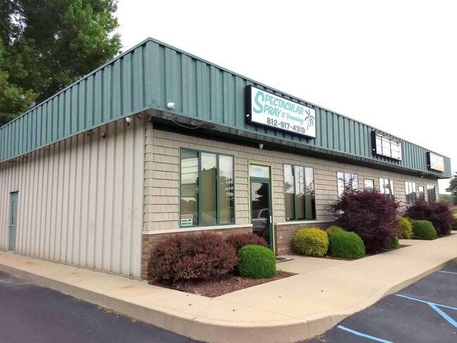
Property Detail
4110 Maple Ave
84-06-12-451-012.000-002
W-1/2 S-1/2 S-1/2 SE 262.7' ON MAPLE AVE 2006003147 2005019102 12-12-9 1.560 AC
Officebuilding
Vigo
B and X Area of moderate flood hazard, usually the area between the limits of the 100-year and 500-year floods.
Indiana
2025
1.56 AC
2025
Bloomington/Terre Haute
001300
Other Market Areas
2,888 SF
Terre Haute, IN
NEARBY LISTINGS FOR SALE OR LEASE
-
-
View all Terre Haute listings for lease on LoopNet.com
DEMOGRAPHICS near 4110 Maple Ave
1 mile
3 mile
5 mile
2025 Total Population
1,701
38,485
69,038
2030 Population
1,698
38,634
69,388
Pop Growth 2025-2030
(0.18%)
+ 0.39%
+ 0.51%
Average Age
38
39
38
2025 Total Households
703
16,018
27,843
HH Growth 2025-2030
(0.28%)
+ 0.27%
+ 0.58%
Median Household Inc
$45,312
$42,781
$43,482
Avg Household Size
2.30
2.30
2.20
2025 Avg HH Vehicles
2.00
2.00
2.00
Median Home Value
$73,033
$108,195
$123,541
Median Year Built
1955
1957
1963
Nearby Places
Map Layers
Map Styles
 Street
 Aerial
Layers
 Traffic
 Biking
Places
Listings with unknown addresses are not visible on the map
- Restaurants
- Banks
- Shops
- Fitness
- Groceries
SALE & LEASE HISTORY
LISTING DATE
SALE/LEASE

May 17, 2018
For Lease
Jul 16, 2018
For Lease
Feb 12, 2018
For Lease
Nearby Properties
Address
Land Use
TOTAL SIZE
Lot Size
Zoning
Address
Land Use
TOTAL SIZE
Lot Size
Zoning
349,675 SF
4.94 AC
Address
Land Use
TOTAL SIZE
Lot Size
Zoning
37,265 SF
107.65 AC
Address
Land Use
TOTAL SIZE
Lot Size
Zoning
133,736 SF
0.15 AC
Address
Land Use
TOTAL SIZE
Lot Size
Zoning
30,198 SF
2.80 AC
Address
Land Use
TOTAL SIZE
Lot Size
Zoning
259,150 SF
1.81 AC
Address
Land Use
TOTAL SIZE
Lot Size
Zoning
86,678 SF
15.67 AC
Address
Land Use
TOTAL SIZE
Lot Size
Zoning
103,296 SF
3.43 AC
Address
Land Use
TOTAL SIZE
Lot Size
Zoning
71,269 SF
2.99 AC
Address
Land Use
TOTAL SIZE
Lot Size
Zoning
10,187 SF
12.39 AC
Address
Land Use
TOTAL SIZE
Lot Size
Zoning
9,456 SF
12.39 AC
Address
Land Use
TOTAL SIZE
Lot Size
Zoning
63,764 SF
0.63 AC
Address
Land Use
TOTAL SIZE
Lot Size
Zoning
311,785 SF
8 AC
Address
Land Use
TOTAL SIZE
Lot Size
Zoning
37,104 SF
0.08 AC
Address
Land Use
TOTAL SIZE
Lot Size
Zoning
46,926 SF
7.80 AC
Address
Land Use
TOTAL SIZE
Lot Size
Zoning
70,390 SF
6.74 AC
Address
Land Use
TOTAL SIZE
Lot Size
Zoning
160,350 SF
16.74 AC
Address
Land Use
TOTAL SIZE
Lot Size
Zoning
190,248 SF
9.60 AC
Address
Land Use
TOTAL SIZE
Lot Size
Zoning
380,096 SF
21.77 AC
Address
Land Use
TOTAL SIZE
Lot Size
Zoning
351,613 SF
14.98 AC
Address
Land Use
TOTAL SIZE
Lot Size
Zoning
194,233 SF
18.89 AC
Address
Land Use
TOTAL SIZE
Lot Size
Zoning
45,672 SF
2.67 AC
Address
Land Use
TOTAL SIZE
Lot Size
Zoning
197,800 SF
11.45 AC
Address
Land Use
TOTAL SIZE
Lot Size
Zoning
265,008 SF
29.30 AC
Address
Land Use
TOTAL SIZE
Lot Size
Zoning
45,622 SF
8.62 AC
Address
Land Use
TOTAL SIZE
Lot Size
Zoning
44,372 SF
1.50 AC
Address
Land Use
TOTAL SIZE
Lot Size
Zoning
66,957 SF
3.72 AC
Address
Land Use
TOTAL SIZE
Lot Size
Zoning
34,379 SF
Address
Land Use
TOTAL SIZE
Lot Size
Zoning
52,690 SF
Address
Land Use
TOTAL SIZE
Lot Size
Zoning
140,800 SF
0.95 AC
Address
Land Use
TOTAL SIZE
Lot Size
Zoning
8,344 SF
6.36 AC
The World's #1 Commercial Real Estate Marketplace
Connect with us
© 2026 CoStar Group
The information above has been obtained from sources believed reliable. While we do not doubt its accuracy we have not verified it and make no guarantee, warranty or representation about it. It is your responsibility to independently confirm its accuracy and completeness. Any projections, opinions, assumptions, or estimates used are for example only and do not represent the current or future performance of the property. The value of this transaction to you depends on tax and other factors which should be evaluated by your tax, financial, and legal advisors. You and your advisors should conduct a careful, independent investigation of the property to determine to your satisfaction the suitability of the property for your needs.