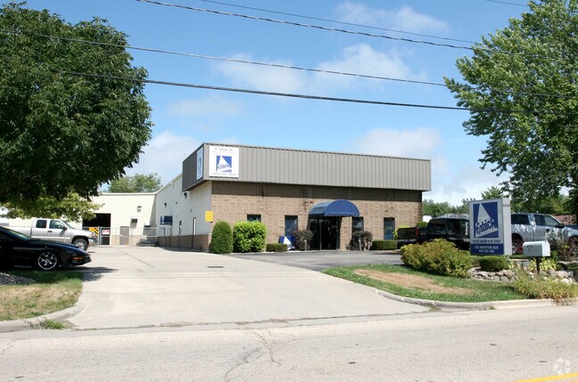
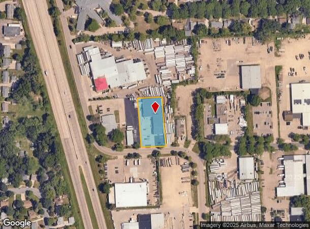
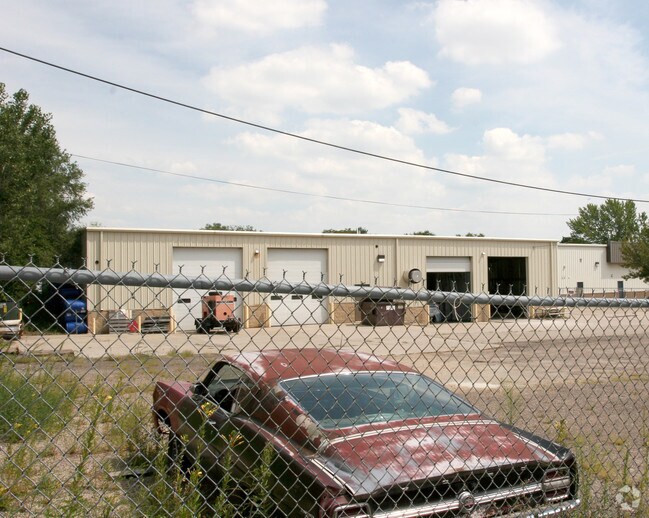
Property Record
4118 Robertson Rd, Madison, WI 53714
NEARBY LISTINGS FOR SALE OR LEASE
Property Detail
4118 Robertson Rd
Madison, WI
T7n R10e, Sec 4, Prt Se 1/4 Desc As Fol
0710-044-0911-8
T7N R10E, SEC 4, PRT SE 1/4 DESC AS FOL: COMM SW COR LOT 1, CERTIFIED SURVEY MAP NO 290 RECORDED IN DANE COUNTY REGISTER OF DEEDS IN VOL 2 PG 31 OF CERTIFIED SU RVEYS, TH S 84 DEG 40 MIN W ALG N ROW LN ROBERTSON RD 207 FT TO POB, TH CONT SD BRG 138 F
Industrialgeneral
Dane
X
Wisconsin
55025C0429H
1
2024
0.86 AC
2024
Northeast Madison
003001
Milwaukee/Madison
5,000 SF
DEMOGRAPHICS near 4118 Robertson Rd
1 Mile
3 Mile
5 Mile
2024 Total Population
11,013
75,964
157,814
2029 Population
11,390
78,783
163,092
Pop Growth 2024-2029
+ 3.42%
+ 3.71%
+ 3.34%
Average Age
42
40
37
2024 Total Households
5,155
35,613
71,557
HH Growth 2024-2029
+ 3.55%
+ 3.78%
+ 3.54%
Median Household Inc
$64,639
$71,322
$63,705
Avg Household Size
2.10
2.10
2.00
2024 Avg HH Vehicles
2.00
2.00
1.00
Median Home Value
$244,516
$277,611
$281,441
Median Year Built
1967
1970
1975
Nearby Places
Map Layers
Map Styles
 Street
 Aerial
- Restaurants
- Banks
- Shops
- Fitness
- Groceries
PUBLIC TRANSPORTATION
AIRPORT
Dane County Regional/Truax Field
DRIVE
WALK
Distance
Dane County Regional/Truax Field
10 min
5.0 mi
Nearby Properties
Address
Land Use
TOTAL SIZE
Lot Size
Zoning
Address
Land Use
TOTAL SIZE
Lot Size
Zoning
509,946 SF
40.17 AC
IL
Address
Land Use
TOTAL SIZE
Lot Size
Zoning
461,454 SF
3.37 AC
CC-T
Address
Land Use
TOTAL SIZE
Lot Size
Zoning
251,632 SF
3.88 AC
TE
Address
Land Use
TOTAL SIZE
Lot Size
Zoning
289,884 SF
19.36 AC
SR-V2
Address
Land Use
TOTAL SIZE
Lot Size
Zoning
357,427 SF
12.77 AC
PD
Address
Land Use
TOTAL SIZE
Lot Size
Zoning
168,685 SF
14.05 AC
IL
Address
Land Use
TOTAL SIZE
Lot Size
Zoning
13,440 SF
10.98 AC
IL
Address
Land Use
TOTAL SIZE
Lot Size
Zoning
216,017 SF
3.35 AC
TE
Address
Land Use
TOTAL SIZE
Lot Size
Zoning
372,177 SF
19.47 AC
SR-V2
Address
Land Use
TOTAL SIZE
Lot Size
Zoning
197,046 SF
TE
Address
Land Use
TOTAL SIZE
Lot Size
Zoning
294,106 SF
29.06 AC
CC
Address
Land Use
TOTAL SIZE
Lot Size
Zoning
12,450 SF
9.40 AC
SE
Address
Land Use
TOTAL SIZE
Lot Size
Zoning
225,108 SF
2 AC
PD
Address
Land Use
TOTAL SIZE
Lot Size
Zoning
104,000 SF
11.21 AC
CC-T
Address
Land Use
TOTAL SIZE
Lot Size
Zoning
58,680 SF
6.29 AC
PD
Address
Land Use
TOTAL SIZE
Lot Size
Zoning
Address
Land Use
TOTAL SIZE
Lot Size
Zoning
149,897 SF
17.72 AC
IL
Address
Land Use
TOTAL SIZE
Lot Size
Zoning
92,130 SF
3.36 AC
PD
Address
Land Use
TOTAL SIZE
Lot Size
Zoning
167,519 SF
4.51 AC
PD
Address
Land Use
TOTAL SIZE
Lot Size
Zoning
105,743 SF
9.50 AC
IG
Address
Land Use
TOTAL SIZE
Lot Size
Zoning
37,133 SF
4.71 AC
CC-T
Address
Land Use
TOTAL SIZE
Lot Size
Zoning
149,650 SF
21.35 AC
CC
Address
Land Use
TOTAL SIZE
Lot Size
Zoning
154,403 SF
1.21 AC
PD
Address
Land Use
TOTAL SIZE
Lot Size
Zoning
217,952 SF
6.47 AC
PD
Address
Land Use
TOTAL SIZE
Lot Size
Zoning
101,080 SF
1.02 AC
CC-T
Address
Land Use
TOTAL SIZE
Lot Size
Zoning
176,496 SF
3.51 AC
PD
Address
Land Use
TOTAL SIZE
Lot Size
Zoning
68,016 SF
6.45 AC
PD
Address
Land Use
TOTAL SIZE
Lot Size
Zoning
134,008 SF
5.63 AC
SR-V2
Address
Land Use
TOTAL SIZE
Lot Size
Zoning
95,909 SF
1 AC
TE
Address
Land Use
TOTAL SIZE
Lot Size
Zoning
121,013 SF
0.98 AC
TSS
The World's #1 Commercial Real Estate Marketplace
Connect with us
© 2025 CoStar Group
The information above has been obtained from sources believed reliable. While we do not doubt its accuracy we have not verified it and make no guarantee, warranty or representation about it. It is your responsibility to independently confirm its accuracy and completeness. Any projections, opinions, assumptions, or estimates used are for example only and do not represent the current or future performance of the property. The value of this transaction to you depends on tax and other factors which should be evaluated by your tax, financial, and legal advisors. You and your advisors should conduct a careful, independent investigation of the property to determine to your satisfaction the suitability of the property for your needs.