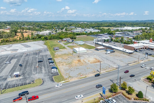
Property Record
416 W Main St, Hendersonville, TN 37075


NEARBY LISTINGS FOR SALE OR LEASE
-
-
-
-
-
-
No Photo
-
-
View all Hendersonville listings for sale on LoopNet.com
Property Detail
416 W Main St
083160M A 00900 001
DISTRICT: 05 MAIN STREET MOTORS, COUNTY AREA: I01
Officebuilding
Sumner
X
Tennessee
47165C0392H
4.67 AC
0
Hendersonville-Gallatin
2024
Nashville
021106
Nashville-Davidson--Murfreesboro--Franklin, TN
3,145 SF
DEMOGRAPHICS near 416 W Main St
1 Mile
3 Mile
5 Mile
2024 Total Population
9,284
47,003
106,922
2029 Population
10,320
51,922
114,639
Pop Growth 2024-2029
+ 11.16%
+ 10.47%
+ 7.22%
Average Age
41
40
41
2024 Total Households
4,032
18,931
42,504
HH Growth 2024-2029
+ 11.63%
+ 10.68%
+ 6.89%
Median Household Inc
$61,761
$68,830
$70,144
Avg Household Size
2.20
2.40
2.50
2024 Avg HH Vehicles
2.00
2.00
2.00
Median Home Value
$261,212
$316,288
$336,649
Median Year Built
1982
1986
1986
Nearby Places
Map Layers
Map Styles
 Street
 Aerial
- Restaurants
- Banks
- Shops
- Fitness
- Groceries
PUBLIC TRANSPORTATION
AIRPORT
Nashville International
DRIVE
WALK
Distance
Nashville International
32 min
25.2 mi
Freight Ports
Port of Mobile
DRIVE
WALK
Distance
Port of Mobile
505 min
462.8 mi
Nearby Properties
Address
Land Use
TOTAL SIZE
Lot Size
Zoning
Address
Land Use
TOTAL SIZE
Lot Size
Zoning
16,770 SF
76.79 AC
RM4
Address
Land Use
TOTAL SIZE
Lot Size
Zoning
25,212 SF
31.56 AC
Address
Land Use
TOTAL SIZE
Lot Size
Zoning
86,086 SF
8 AC
OPS
Address
Land Use
TOTAL SIZE
Lot Size
Zoning
154,761 SF
8.74 AC
GCS
Address
Land Use
TOTAL SIZE
Lot Size
Zoning
46,650 SF
17.41 AC
MRO
Address
Land Use
TOTAL SIZE
Lot Size
Zoning
42,840 SF
21.43 AC
CS
Address
Land Use
TOTAL SIZE
Lot Size
Zoning
191,733 SF
62.90 AC
MULTI-ZONE
Address
Land Use
TOTAL SIZE
Lot Size
Zoning
56,782 SF
11.37 AC
Address
Land Use
TOTAL SIZE
Lot Size
Zoning
31,919 SF
14.69 AC
Address
Land Use
TOTAL SIZE
Lot Size
Zoning
84,210 SF
8.05 AC
GCS
Address
Land Use
TOTAL SIZE
Lot Size
Zoning
25,200 SF
20.36 AC
RM2
Address
Land Use
TOTAL SIZE
Lot Size
Zoning
8,336 SF
18.34 AC
GCS
Address
Land Use
TOTAL SIZE
Lot Size
Zoning
29,068 SF
13.30 AC
TCR
Address
Land Use
TOTAL SIZE
Lot Size
Zoning
169,864 SF
5.29 AC
GCS
Address
Land Use
TOTAL SIZE
Lot Size
Zoning
32,481 SF
9.42 AC
GCS
Address
Land Use
TOTAL SIZE
Lot Size
Zoning
105,942 SF
14.80 AC
GCS
Address
Land Use
TOTAL SIZE
Lot Size
Zoning
77,028 SF
12.78 AC
GCS
Address
Land Use
TOTAL SIZE
Lot Size
Zoning
36,231 SF
57.17 AC
MULTI-ZONE
Address
Land Use
TOTAL SIZE
Lot Size
Zoning
15,456 SF
23.18 AC
Address
Land Use
TOTAL SIZE
Lot Size
Zoning
20,896 SF
17.79 AC
Address
Land Use
TOTAL SIZE
Lot Size
Zoning
218,472 SF
27.08 AC
GCS
Address
Land Use
TOTAL SIZE
Lot Size
Zoning
10,480 SF
17.37 AC
SP
Address
Land Use
TOTAL SIZE
Lot Size
Zoning
142,403 SF
18.78 AC
NCS
Address
Land Use
TOTAL SIZE
Lot Size
Zoning
15,105 SF
13.35 AC
Address
Land Use
TOTAL SIZE
Lot Size
Zoning
10,842 SF
17.25 AC
CS
Address
Land Use
TOTAL SIZE
Lot Size
Zoning
27,038 SF
4.05 AC
Address
Land Use
TOTAL SIZE
Lot Size
Zoning
2,560 SF
2.86 AC
R15
Address
Land Use
TOTAL SIZE
Lot Size
Zoning
161,880 SF
23.90 AC
GCS
Address
Land Use
TOTAL SIZE
Lot Size
Zoning
105,542 SF
9.09 AC
GCS
Address
Land Use
TOTAL SIZE
Lot Size
Zoning
21,213 SF
6.56 AC
The World's #1 Commercial Real Estate Marketplace
Connect with us
© 2026 CoStar Group
The information above has been obtained from sources believed reliable. While we do not doubt its accuracy we have not verified it and make no guarantee, warranty or representation about it. It is your responsibility to independently confirm its accuracy and completeness. Any projections, opinions, assumptions, or estimates used are for example only and do not represent the current or future performance of the property. The value of this transaction to you depends on tax and other factors which should be evaluated by your tax, financial, and legal advisors. You and your advisors should conduct a careful, independent investigation of the property to determine to your satisfaction the suitability of the property for your needs.