Property Record
412 Walnut St, Jenkintown, PA 19046


NEARBY LISTINGS FOR SALE OR LEASE
-
-
View all Jenkintown listings for sale on LoopNet.com
Property Detail
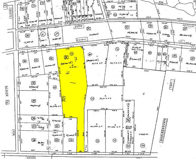
412 Walnut St
07-00-00604-001
220 X IRR 2.4 AC
Warehouse
Montgomery
X
Pennsylvania
42091C0104G
5
2024
2.40 AC
2025
West Montgomery Cty
202100
Philadelphia
32,080 SF
Philadelphia-Camden-Wilmington, PA-NJ-DE-MD
DEMOGRAPHICS near 412 Walnut St
1 Mile
3 Mile
5 Mile
2024 Total Population
1,540
9,767
34,985
2029 Population
1,539
9,787
35,235
Pop Growth 2024-2029
(0.06%)
+ 0.20%
+ 0.71%
Average Age
42
43
42
2024 Total Households
604
3,718
12,943
HH Growth 2024-2029
(0.17%)
+ 0.16%
+ 0.56%
Median Household Inc
$90,842
$108,126
$105,217
Avg Household Size
2.50
2.60
2.60
2024 Avg HH Vehicles
2.00
2.00
2.00
Median Home Value
$279,583
$353,571
$345,635
Median Year Built
1952
1973
1980
Nearby Places
Map Layers
Map Styles
 Street
 Aerial
- Restaurants
- Banks
- Shops
- Fitness
- Groceries
PUBLIC TRANSPORTATION
AIRPORT
Lehigh Valley International
DRIVE
WALK
Distance
Lehigh Valley International
48 min
33.3 mi
Philadelphia International
DRIVE
WALK
Distance
Philadelphia International
65 min
45.5 mi
Nearby Properties
Address
Land Use
TOTAL SIZE
Lot Size
Zoning
Address
Land Use
TOTAL SIZE
Lot Size
Zoning
1,212.07 AC
R1
Address
Land Use
TOTAL SIZE
Lot Size
Zoning
74,052 SF
21.35 AC
R1
Address
Land Use
TOTAL SIZE
Lot Size
Zoning
44,420 SF
730 AC
R1
Address
Land Use
TOTAL SIZE
Lot Size
Zoning
61,855 SF
13.26 AC
IN
Address
Land Use
TOTAL SIZE
Lot Size
Zoning
24,794 SF
346.93 AC
R1
Address
Land Use
TOTAL SIZE
Lot Size
Zoning
38,843 SF
3.74 AC
SC
Address
Land Use
TOTAL SIZE
Lot Size
Zoning
15,653 SF
114.67 AC
R1
Address
Land Use
TOTAL SIZE
Lot Size
Zoning
13,896 SF
27.83 AC
IN
Address
Land Use
TOTAL SIZE
Lot Size
Zoning
25,912 SF
7.14 AC
VC
Address
Land Use
TOTAL SIZE
Lot Size
Zoning
22,441 SF
7.64 AC
IN
Address
Land Use
TOTAL SIZE
Lot Size
Zoning
14,380 SF
20.65 AC
IR
Address
Land Use
TOTAL SIZE
Lot Size
Zoning
15,330 SF
194.57 AC
R1
Address
Land Use
TOTAL SIZE
Lot Size
Zoning
65,512 SF
106.04 AC
RC5
Address
Land Use
TOTAL SIZE
Lot Size
Zoning
20,636 SF
4.24 AC
R2
Address
Land Use
TOTAL SIZE
Lot Size
Zoning
3,520 SF
106.79 AC
IR/RP
Address
Land Use
TOTAL SIZE
Lot Size
Zoning
15,052 SF
1 AC
RR
Address
Land Use
TOTAL SIZE
Lot Size
Zoning
7,621 SF
1.69 AC
C
Address
Land Use
TOTAL SIZE
Lot Size
Zoning
20,160 SF
2.41 AC
LI
Address
Land Use
TOTAL SIZE
Lot Size
Zoning
27,620 SF
13.17 AC
RA2
Address
Land Use
TOTAL SIZE
Lot Size
Zoning
91,019 SF
3.15 AC
LI
Address
Land Use
TOTAL SIZE
Lot Size
Zoning
14,877 SF
31.97 AC
IN
Address
Land Use
TOTAL SIZE
Lot Size
Zoning
13,171 SF
56.46 AC
IR/R80
Address
Land Use
TOTAL SIZE
Lot Size
Zoning
20,277 SF
5.21 AC
NC
Address
Land Use
TOTAL SIZE
Lot Size
Zoning
26,612 SF
4.33 AC
LI
Address
Land Use
TOTAL SIZE
Lot Size
Zoning
4,464 SF
106.42 AC
R1
Address
Land Use
TOTAL SIZE
Lot Size
Zoning
14,008 SF
3.65 AC
R1
Address
Land Use
TOTAL SIZE
Lot Size
Zoning
26,606 SF
3 AC
VC
Address
Land Use
TOTAL SIZE
Lot Size
Zoning
9,674 SF
3.31 AC
R90
Address
Land Use
TOTAL SIZE
Lot Size
Zoning
11,429 SF
2.35 AC
RR
Address
Land Use
TOTAL SIZE
Lot Size
Zoning
18,620 SF
2.53 AC
LI
The World's #1 Commercial Real Estate Marketplace
Connect with us
© 2026 CoStar Group
The information above has been obtained from sources believed reliable. While we do not doubt its accuracy we have not verified it and make no guarantee, warranty or representation about it. It is your responsibility to independently confirm its accuracy and completeness. Any projections, opinions, assumptions, or estimates used are for example only and do not represent the current or future performance of the property. The value of this transaction to you depends on tax and other factors which should be evaluated by your tax, financial, and legal advisors. You and your advisors should conduct a careful, independent investigation of the property to determine to your satisfaction the suitability of the property for your needs.