Property Record
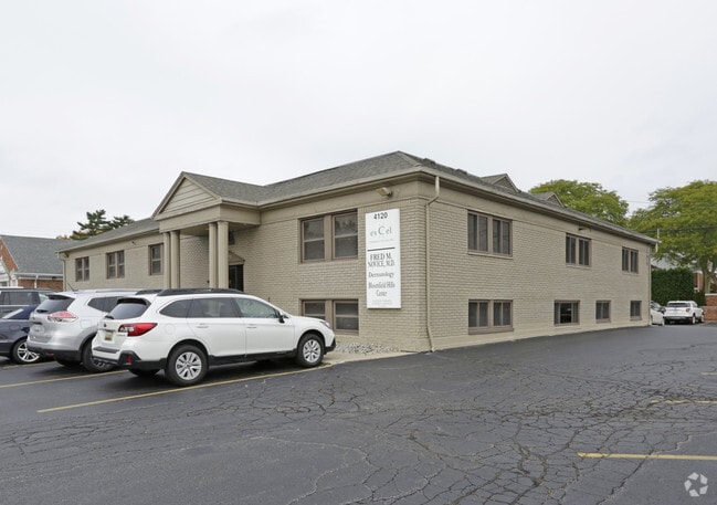
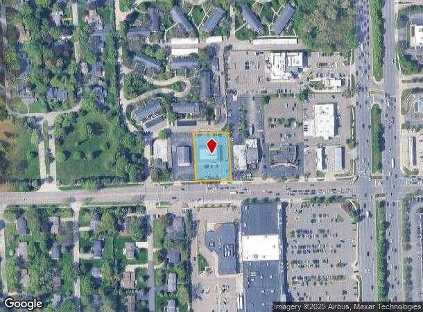
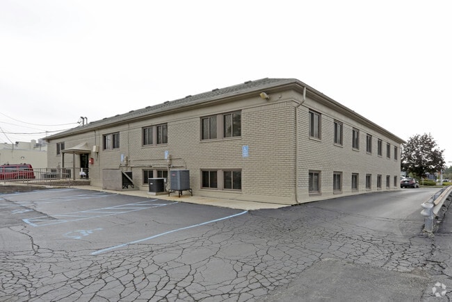
4120 W Maple Rd, Bloomfield Hills, MI 48301
Current Lease Availabilities
NEARBY LISTINGS FOR SALE OR LEASE
Property Detail
4120 W Maple Rd
19-29-476-012
T2N, R10E, SEC 29 PART OF SE 1/4 BEG AT PT DIST S 89-09-51 W 619.38 FT FROM SE SEC COR, TH N 02-16-30 W 248.66 FT, TH N
Officebuilding
Oakland
X
Michigan
26125C0516F
0.66 AC
2024
Birmingham
2025
Detroit
150800
Detroit-Warren-Dearborn, MI
11,904 SF
DEMOGRAPHICS near 4120 W Maple Rd
1 Mile
3 Mile
5 Mile
2024 Total Population
5,594
45,967
175,759
2029 Population
5,559
45,567
174,336
Pop Growth 2024-2029
(0.63%)
(0.87%)
(0.81%)
Average Age
46
44
44
2024 Total Households
2,194
17,019
73,035
HH Growth 2024-2029
(0.59%)
(0.88%)
(0.76%)
Median Household Inc
$131,684
$164,333
$108,089
Avg Household Size
2.40
2.70
2.30
2024 Avg HH Vehicles
2.00
2.00
2.00
Median Home Value
$574,567
$617,379
$415,512
Median Year Built
1965
1966
1968
Nearby Places
Map Layers
Map Styles
 Street
 Aerial
- Restaurants
- Banks
- Shops
- Fitness
- Groceries
PUBLIC TRANSPORTATION
COMMUTER RAIL
DRIVE
WALK
Distance
13 min
5.3 mi
DRIVE
WALK
Distance
14 min
7.4 mi
AIRPORT
Windsor International
DRIVE
WALK
Distance
Windsor International
53 min
31.2 mi
Detroit Metro Wayne County
DRIVE
WALK
Distance
Detroit Metro Wayne County
48 min
32.1 mi
Nearby Properties
Address
Land Use
TOTAL SIZE
Lot Size
Zoning
Address
Land Use
TOTAL SIZE
Lot Size
Zoning
544,945 SF
23.89 AC
BI
Address
Land Use
TOTAL SIZE
Lot Size
Zoning
439,171 SF
28.57 AC
RMM
Address
Land Use
TOTAL SIZE
Lot Size
Zoning
167,882 SF
16.18 AC
BI
Address
Land Use
TOTAL SIZE
Lot Size
Zoning
255,136 SF
21.19 AC
AI
Address
Land Use
TOTAL SIZE
Lot Size
Zoning
63,550 SF
4.18 AC
AI
Address
Land Use
TOTAL SIZE
Lot Size
Zoning
280,984 SF
11.88 AC
ERO-M
Address
Land Use
TOTAL SIZE
Lot Size
Zoning
96,774 SF
6.34 AC
BI
Address
Land Use
TOTAL SIZE
Lot Size
Zoning
218,023 SF
21.80 AC
AI
Address
Land Use
TOTAL SIZE
Lot Size
Zoning
289,820 SF
20.40 AC
RM
Address
Land Use
TOTAL SIZE
Lot Size
Zoning
158 SF
17.44 AC
RM
Address
Land Use
TOTAL SIZE
Lot Size
Zoning
53,379 SF
139.07 AC
Address
Land Use
TOTAL SIZE
Lot Size
Zoning
67,645 SF
6.17 AC
BI
Address
Land Use
TOTAL SIZE
Lot Size
Zoning
71,588 SF
3.72 AC
BI
Address
Land Use
TOTAL SIZE
Lot Size
Zoning
173,754 SF
9.22 AC
RMM
Address
Land Use
TOTAL SIZE
Lot Size
Zoning
60,603 SF
6.52 AC
BI
Address
Land Use
TOTAL SIZE
Lot Size
Zoning
46,288 SF
155.56 AC
MM
Address
Land Use
TOTAL SIZE
Lot Size
Zoning
176,141 SF
6.41 AC
BI
Address
Land Use
TOTAL SIZE
Lot Size
Zoning
176,052 SF
6.43 AC
BI
Address
Land Use
TOTAL SIZE
Lot Size
Zoning
27,442 SF
3.81 AC
BI
Address
Land Use
TOTAL SIZE
Lot Size
Zoning
177,261 SF
6.92 AC
Address
Land Use
TOTAL SIZE
Lot Size
Zoning
48,040 SF
3.08 AC
BI
Address
Land Use
TOTAL SIZE
Lot Size
Zoning
149,778 SF
Address
Land Use
TOTAL SIZE
Lot Size
Zoning
176,141 SF
6.43 AC
BI
Address
Land Use
TOTAL SIZE
Lot Size
Zoning
158.79 AC
MM
Address
Land Use
TOTAL SIZE
Lot Size
Zoning
177,261 SF
7.91 AC
BI
Address
Land Use
TOTAL SIZE
Lot Size
Zoning
50,388 SF
6.85 AC
B-3
Address
Land Use
TOTAL SIZE
Lot Size
Zoning
28,177 SF
2.21 AC
BI
Address
Land Use
TOTAL SIZE
Lot Size
Zoning
51,352 SF
6.03 AC
B-3
Address
Land Use
TOTAL SIZE
Lot Size
Zoning
75,592 SF
4.41 AC
BI
The World's #1 Commercial Real Estate Marketplace
Connect with us
© 2025 CoStar Group
The information above has been obtained from sources believed reliable. While we do not doubt its accuracy we have not verified it and make no guarantee, warranty or representation about it. It is your responsibility to independently confirm its accuracy and completeness. Any projections, opinions, assumptions, or estimates used are for example only and do not represent the current or future performance of the property. The value of this transaction to you depends on tax and other factors which should be evaluated by your tax, financial, and legal advisors. You and your advisors should conduct a careful, independent investigation of the property to determine to your satisfaction the suitability of the property for your needs.