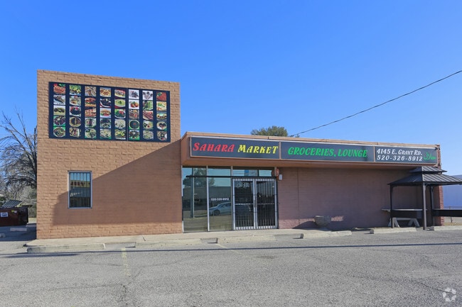
Property Record
4121 E Grant Rd, Tucson, AZ 85712


Property Detail
4121 E Grant Rd
110-07-233B
CATALINA FARMS N150 S170 E100 LOT 25
Storemultistory
PIMA
C1
Arizona
B and X Area of moderate flood hazard, usually the area between the limits of the 100-year and 500-year floods.
25
2025
0.34 AC
2026
Central East
002904
Tucson
1,981 SF
Tucson, AZ
NEARBY LISTINGS FOR SALE OR LEASE
DEMOGRAPHICS near 4121 E Grant Rd
1 mile
3 mile
5 mile
2024 Total Population
20,949
106,592
275,898
2029 Population
21,570
109,040
283,319
Pop Growth 2024-2029
+ 2.96%
+ 2.30%
+ 2.69%
Average Age
40
41
40
2024 Total Households
10,281
52,052
127,536
HH Growth 2024-2029
+ 3.09%
+ 2.42%
+ 2.84%
Median Household Inc
$39,903
$53,645
$53,050
Avg Household Size
1.90
1.90
2.00
2024 Avg HH Vehicles
1.00
1.00
1.00
Median Home Value
$266,417
$352,043
$337,076
Median Year Built
1970
1969
1974
Nearby Places
Map Layers
Map Styles
 Street
 Aerial
Transit
 Traffic
 Biking
Places
Listings with unknown addresses are not visible on the map
- Restaurants
- Banks
- Shops
- Fitness
- Groceries
PUBLIC TRANSPORTATION
COMMUTER RAIL
Drive
Walk
Distance
13 min
5.7 mi
AIRPORT
Tucson International
Drive
Walk
Distance
Tucson International
21 min
11.2 mi
Nearby Properties
Address
Land Use
TOTAL SIZE
Lot Size
Zoning
Address
Land Use
TOTAL SIZE
Lot Size
Zoning
1,316,364 SF
12.21 AC
Address
Land Use
TOTAL SIZE
Lot Size
Zoning
1,811,513 SF
30.09 AC
Address
Land Use
TOTAL SIZE
Lot Size
Zoning
1,089,840 SF
45.56 AC
Address
Land Use
TOTAL SIZE
Lot Size
Zoning
640,899 SF
13.61 AC
Address
Land Use
TOTAL SIZE
Lot Size
Zoning
594,802 SF
62.57 AC
Address
Land Use
TOTAL SIZE
Lot Size
Zoning
226,240 SF
0.33 AC
R2
Address
Land Use
TOTAL SIZE
Lot Size
Zoning
172,623 SF
0.15 AC
R1
Address
Land Use
TOTAL SIZE
Lot Size
Zoning
419,317 SF
7.23 AC
Address
Land Use
TOTAL SIZE
Lot Size
Zoning
141,450 SF
0.14 AC
R1
Address
Land Use
TOTAL SIZE
Lot Size
Zoning
259,645 SF
37.28 AC
R1
Address
Land Use
TOTAL SIZE
Lot Size
Zoning
421,674 SF
8.10 AC
OCR2
Address
Land Use
TOTAL SIZE
Lot Size
Zoning
427,088 SF
19.78 AC
R3
Address
Land Use
TOTAL SIZE
Lot Size
Zoning
137,890 SF
8.28 AC
PAD1
Address
Land Use
TOTAL SIZE
Lot Size
Zoning
435,634 SF
4.29 AC
PAD1
Address
Land Use
TOTAL SIZE
Lot Size
Zoning
491,952 SF
1.60 AC
R1
Address
Land Use
TOTAL SIZE
Lot Size
Zoning
174,364 SF
7.36 AC
Address
Land Use
TOTAL SIZE
Lot Size
Zoning
116,558 SF
3.29 AC
R1
Address
Land Use
TOTAL SIZE
Lot Size
Zoning
139,963 SF
19.86 AC
R2
Address
Land Use
TOTAL SIZE
Lot Size
Zoning
295,133 SF
36.29 AC
R1
Address
Land Use
TOTAL SIZE
Lot Size
Zoning
364,128 SF
11.55 AC
O3
Address
Land Use
TOTAL SIZE
Lot Size
Zoning
230,640 SF
11.99 AC
Address
Land Use
TOTAL SIZE
Lot Size
Zoning
326,189 SF
4.31 AC
O3
Address
Land Use
TOTAL SIZE
Lot Size
Zoning
239,446 SF
33 AC
R2
Address
Land Use
TOTAL SIZE
Lot Size
Zoning
194,800 SF
477.22 AC
R1
Address
Land Use
TOTAL SIZE
Lot Size
Zoning
92,468 SF
0.12 AC
R1
Address
Land Use
TOTAL SIZE
Lot Size
Zoning
74,815 SF
5.05 AC
Address
Land Use
TOTAL SIZE
Lot Size
Zoning
217,152 SF
5.37 AC
PAD1
Address
Land Use
TOTAL SIZE
Lot Size
Zoning
20,802 SF
1.86 AC
MU
Address
Land Use
TOTAL SIZE
Lot Size
Zoning
288,749 SF
21.55 AC
CR2
Address
Land Use
TOTAL SIZE
Lot Size
Zoning
195,798 SF
12.04 AC
OCR2
The World's #1 Commercial Real Estate Marketplace
Connect with us
© 2026 CoStar Group
The information above has been obtained from sources believed reliable. While we do not doubt its accuracy we have not verified it and make no guarantee, warranty or representation about it. It is your responsibility to independently confirm its accuracy and completeness. Any projections, opinions, assumptions, or estimates used are for example only and do not represent the current or future performance of the property. The value of this transaction to you depends on tax and other factors which should be evaluated by your tax, financial, and legal advisors. You and your advisors should conduct a careful, independent investigation of the property to determine to your satisfaction the suitability of the property for your needs.