Property Record
4140 Park Ave, Des Moines, IA 50321
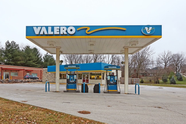


Property Detail
4140 Park Ave
010-06688003002
N 200F W 173F LESS ST NW 1/4 SEC 19-78-24
Storebuilding
Polk
C-1
Iowa
B and X Area of moderate flood hazard, usually the area between the limits of the 100-year and 500-year floods.
0.51 AC
2024
South
2025
Des Moines
004004
Des Moines-West Des Moines, IA
2,646 SF
NEARBY LISTINGS FOR SALE OR LEASE
DEMOGRAPHICS near 4140 Park Ave
1 mile
3 mile
5 mile
2025 Total Population
3,748
48,000
188,010
2030 Population
3,904
50,069
196,736
Pop Growth 2025-2030
+ 4.16%
+ 4.31%
+ 4.64%
Average Age
38
40
38
2025 Total Households
1,575
21,918
80,954
HH Growth 2025-2030
+ 4.32%
+ 4.56%
+ 4.92%
Median Household Inc
$80,939
$72,767
$66,632
Avg Household Size
2.30
2.10
2.20
2025 Avg HH Vehicles
2.00
2.00
2.00
Median Home Value
$335,067
$253,460
$236,358
Median Year Built
1983
1959
1969
Nearby Places
Map Layers
Map Styles
 Street
 Aerial
Layers
 Traffic
 Biking
Places
Listings with unknown addresses are not visible on the map
- Restaurants
- Banks
- Shops
- Fitness
- Groceries
PUBLIC TRANSPORTATION
AIRPORT
Des Moines International
Drive
Walk
Distance
Des Moines International
4 min
1.6 mi
SALE & LEASE HISTORY
LISTING DATE
SALE/LEASE

Dec 06, 2018
For Sale
Nearby Properties
Address
Land Use
TOTAL SIZE
Lot Size
Zoning
Address
Land Use
TOTAL SIZE
Lot Size
Zoning
227,640 SF
19.48 AC
Address
Land Use
TOTAL SIZE
Lot Size
Zoning
594,010 SF
24.40 AC
R1-80
Address
Land Use
TOTAL SIZE
Lot Size
Zoning
839,211 SF
4.93 AC
C-3A
Address
Land Use
TOTAL SIZE
Lot Size
Zoning
260,284 SF
2.98 AC
Address
Land Use
TOTAL SIZE
Lot Size
Zoning
289,527 SF
11.23 AC
PUD
Address
Land Use
TOTAL SIZE
Lot Size
Zoning
397,938 SF
27.97 AC
PUD
Address
Land Use
TOTAL SIZE
Lot Size
Zoning
244,212 SF
2.20 AC
NPC
Address
Land Use
TOTAL SIZE
Lot Size
Zoning
302,800 SF
20.85 AC
Address
Land Use
TOTAL SIZE
Lot Size
Zoning
178,611 SF
3.02 AC
Address
Land Use
TOTAL SIZE
Lot Size
Zoning
289,966 SF
8.57 AC
R-3
Address
Land Use
TOTAL SIZE
Lot Size
Zoning
203,710 SF
26.88 AC
Address
Land Use
TOTAL SIZE
Lot Size
Zoning
184,659 SF
4.10 AC
Address
Land Use
TOTAL SIZE
Lot Size
Zoning
298,716 SF
18.90 AC
PUD
Address
Land Use
TOTAL SIZE
Lot Size
Zoning
150,640 SF
2.46 AC
PUD
Address
Land Use
TOTAL SIZE
Lot Size
Zoning
336,394 SF
2.19 AC
C-3A
Address
Land Use
TOTAL SIZE
Lot Size
Zoning
526,295 SF
26.06 AC
M-1
Address
Land Use
TOTAL SIZE
Lot Size
Zoning
1,070,647 SF
2.96 AC
C-3
Address
Land Use
TOTAL SIZE
Lot Size
Zoning
298,528 SF
3.79 AC
R-4
Address
Land Use
TOTAL SIZE
Lot Size
Zoning
122,676 SF
1.16 AC
Address
Land Use
TOTAL SIZE
Lot Size
Zoning
96,032 SF
1.74 AC
Address
Land Use
TOTAL SIZE
Lot Size
Zoning
161,788 SF
9.41 AC
PBP
Address
Land Use
TOTAL SIZE
Lot Size
Zoning
61,320 SF
8.13 AC
Address
Land Use
TOTAL SIZE
Lot Size
Zoning
260,420 SF
18.17 AC
R-3
Address
Land Use
TOTAL SIZE
Lot Size
Zoning
538,460 SF
5.41 AC
C-3B
Address
Land Use
TOTAL SIZE
Lot Size
Zoning
94,510 SF
0.46 AC
Address
Land Use
TOTAL SIZE
Lot Size
Zoning
60,498 SF
6.90 AC
C3B
Address
Land Use
TOTAL SIZE
Lot Size
Zoning
72,036 SF
3.54 AC
Address
Land Use
TOTAL SIZE
Lot Size
Zoning
658,855 SF
47.73 AC
M-1
Address
Land Use
TOTAL SIZE
Lot Size
Zoning
150,398 SF
2.25 AC
C-3A
The World's #1 Commercial Real Estate Marketplace
Connect with us
© 2026 CoStar Group
The information above has been obtained from sources believed reliable. While we do not doubt its accuracy we have not verified it and make no guarantee, warranty or representation about it. It is your responsibility to independently confirm its accuracy and completeness. Any projections, opinions, assumptions, or estimates used are for example only and do not represent the current or future performance of the property. The value of this transaction to you depends on tax and other factors which should be evaluated by your tax, financial, and legal advisors. You and your advisors should conduct a careful, independent investigation of the property to determine to your satisfaction the suitability of the property for your needs.