Property Record
415 Marble Rd, Fort Scott, KS 66701
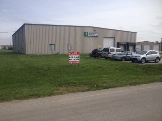

Property Detail
415 Marble Rd
203-08-0-00-00-035.01-0
F50-FORT SCOTT INDUSTR. PARK-SCOTT, ACRES 3.4, LOT 4 BLK 6
Warehouse
BOURBON
I2
Kansas
B and X Area of moderate flood hazard, usually the area between the limits of the 100-year and 500-year floods.
4
0
3.40 AC
2025
Kansas Area
955800
Other Market Areas
10,000 SF
NEARBY LISTINGS FOR SALE OR LEASE
-
-
View all Fort Scott listings for lease on LoopNet.com
DEMOGRAPHICS near 415 Marble Rd
1 mile
3 mile
5 mile
2025 Total Population
227
6,156
9,543
2030 Population
225
6,163
9,573
Pop Growth 2025-2030
(0.88%)
+ 0.11%
+ 0.31%
Average Age
40
40
40
2025 Total Households
81
2,478
3,843
HH Growth 2025-2030
(1.23%)
+ 0.24%
+ 0.42%
Median Household Inc
$78,472
$63,053
$64,476
Avg Household Size
2.50
2.30
2.30
2025 Avg HH Vehicles
2.00
2.00
2.00
Median Home Value
$155,555
$117,402
$108,997
Median Year Built
1978
1956
1957
Nearby Places
Map Layers
Map Styles
 Street
 Aerial
Layers
 Traffic
 Biking
Places
Listings with unknown addresses are not visible on the map
- Restaurants
- Banks
- Shops
- Fitness
- Groceries
SALE & LEASE HISTORY
LISTING DATE
SALE/LEASE

Sep 23, 2016
For Sale
Sep 11, 2017
For Sale
Sep 11, 2017
For Sale
Mar 09, 2018
For Lease
Mar 09, 2018
For Sale
Nearby Properties
Address
Land Use
TOTAL SIZE
Lot Size
Zoning
Address
Land Use
TOTAL SIZE
Lot Size
Zoning
275,486 SF
126 AC
RS
Address
Land Use
TOTAL SIZE
Lot Size
Zoning
185,420 SF
26.70 AC
RL
Address
Land Use
TOTAL SIZE
Lot Size
Zoning
136,112 SF
5.54 AC
R3
Address
Land Use
TOTAL SIZE
Lot Size
Zoning
103,420 SF
6.56 AC
R2
Address
Land Use
TOTAL SIZE
Lot Size
Zoning
21,318 SF
4.40 AC
Address
Land Use
TOTAL SIZE
Lot Size
Zoning
61,200 SF
8.46 AC
R1
Address
Land Use
TOTAL SIZE
Lot Size
Zoning
39,425 SF
4.47 AC
C2
Address
Land Use
TOTAL SIZE
Lot Size
Zoning
8,301 SF
16.27 AC
C2
Address
Land Use
TOTAL SIZE
Lot Size
Zoning
30,091 SF
4.25 AC
R2
Address
Land Use
TOTAL SIZE
Lot Size
Zoning
164,527 SF
17.15 AC
C2
Address
Land Use
TOTAL SIZE
Lot Size
Zoning
26,598 SF
1.69 AC
R2
Address
Land Use
TOTAL SIZE
Lot Size
Zoning
42,756 SF
2.27 AC
R3
Address
Land Use
TOTAL SIZE
Lot Size
Zoning
26,918 SF
1.75 AC
R2
Address
Land Use
TOTAL SIZE
Lot Size
Zoning
13,945 SF
1.78 AC
R2
Address
Land Use
TOTAL SIZE
Lot Size
Zoning
30,000 SF
10.90 AC
AL
Address
Land Use
TOTAL SIZE
Lot Size
Zoning
10,064 SF
35.10 AC
AL
Address
Land Use
TOTAL SIZE
Lot Size
Zoning
9,392 SF
16.20 AC
AL
Address
Land Use
TOTAL SIZE
Lot Size
Zoning
6,404 SF
10.20 AC
AL
Address
Land Use
TOTAL SIZE
Lot Size
Zoning
19,304 SF
4.50 AC
I2
Address
Land Use
TOTAL SIZE
Lot Size
Zoning
196,406 SF
9.40 AC
RS
Address
Land Use
TOTAL SIZE
Lot Size
Zoning
137,170 SF
9.93 AC
C2
Address
Land Use
TOTAL SIZE
Lot Size
Zoning
7,026 SF
6.45 AC
R2
Address
Land Use
TOTAL SIZE
Lot Size
Zoning
10,542 SF
2.46 AC
C0
Address
Land Use
TOTAL SIZE
Lot Size
Zoning
15,353 SF
0.83 AC
R2
Address
Land Use
TOTAL SIZE
Lot Size
Zoning
13,440 SF
1.32 AC
C2
Address
Land Use
TOTAL SIZE
Lot Size
Zoning
17,484 SF
0.68 AC
R3
Address
Land Use
TOTAL SIZE
Lot Size
Zoning
259.57 AC
AL
Address
Land Use
TOTAL SIZE
Lot Size
Zoning
118,700 SF
7.50 AC
RS
Address
Land Use
TOTAL SIZE
Lot Size
Zoning
2,303 SF
3.55 AC
R3
Address
Land Use
TOTAL SIZE
Lot Size
Zoning
12,960 SF
2.66 AC
R1
The World's #1 Commercial Real Estate Marketplace
Connect with us
© 2026 CoStar Group
The information above has been obtained from sources believed reliable. While we do not doubt its accuracy we have not verified it and make no guarantee, warranty or representation about it. It is your responsibility to independently confirm its accuracy and completeness. Any projections, opinions, assumptions, or estimates used are for example only and do not represent the current or future performance of the property. The value of this transaction to you depends on tax and other factors which should be evaluated by your tax, financial, and legal advisors. You and your advisors should conduct a careful, independent investigation of the property to determine to your satisfaction the suitability of the property for your needs.