Property Record
416 Thain Rd, Lewiston, ID 83501


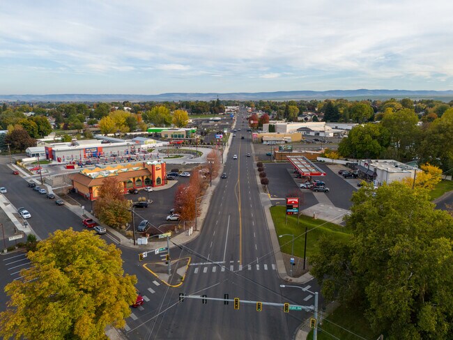
Property Detail
416 Thain Rd
RPL00160040100
LEWISTON ORCHARDS: #10033 4 16
Bartavern
NEZ PERCE
C4
Idaho
2025
1.60 AC
2025
Nez Perce
960900
Coeur D'Alene
3,664 SF
Lewiston, ID-WA
NEARBY LISTINGS FOR SALE OR LEASE
-
-
View all Lewiston listings for lease on LoopNet.com
DEMOGRAPHICS near 416 Thain Rd
1 mile
3 mile
5 mile
2025 Total Population
7,277
29,893
51,580
2030 Population
7,334
30,232
52,044
Pop Growth 2025-2030
+ 0.78%
+ 1.13%
+ 0.90%
Average Age
43
42
42
2025 Total Households
3,173
12,336
21,413
HH Growth 2025-2030
+ 0.79%
+ 1.11%
+ 0.87%
Median Household Inc
$73,282
$78,155
$71,457
Avg Household Size
2.20
2.30
2.30
2025 Avg HH Vehicles
2.00
2.00
2.00
Median Home Value
$304,134
$335,876
$333,639
Median Year Built
1972
1973
1971
Nearby Places
Map Layers
Map Styles
 Street
 Aerial
Layers
 Traffic
 Biking
Places
Listings with unknown addresses are not visible on the map
- Restaurants
- Banks
- Shops
- Fitness
- Groceries
PUBLIC TRANSPORTATION
AIRPORT
Lewiston/Nez Perce County
Drive
Walk
Distance
Lewiston/Nez Perce County
9 min
2.9 mi
Pullman/Moscow Regional
Drive
Walk
Distance
Pullman/Moscow Regional
59 min
40.6 mi
SALE & LEASE HISTORY
LISTING DATE
SALE/LEASE

Dec 15, 2023
For Lease
Nearby Properties
Address
Land Use
TOTAL SIZE
Lot Size
Zoning
Address
Land Use
TOTAL SIZE
Lot Size
Zoning
139,285 SF
23.97 AC
PD
Address
Land Use
TOTAL SIZE
Lot Size
Zoning
25,950 SF
4.48 AC
R2
Address
Land Use
TOTAL SIZE
Lot Size
Zoning
156,391 SF
7.14 AC
C6
Address
Land Use
TOTAL SIZE
Lot Size
Zoning
113,162 SF
4.42 AC
PD
Address
Land Use
TOTAL SIZE
Lot Size
Zoning
46,715 SF
7 AC
M2
Address
Land Use
TOTAL SIZE
Lot Size
Zoning
50,594 SF
3.52 AC
PD
Address
Land Use
TOTAL SIZE
Lot Size
Zoning
97,896 SF
4.88 AC
C6
Address
Land Use
TOTAL SIZE
Lot Size
Zoning
52,828 SF
2.54 AC
C6
Address
Land Use
TOTAL SIZE
Lot Size
Zoning
54,459 SF
4.06 AC
R3
Address
Land Use
TOTAL SIZE
Lot Size
Zoning
116,698 SF
10.49 AC
PD
Address
Land Use
TOTAL SIZE
Lot Size
Zoning
26,879 SF
0.32 AC
PD
Address
Land Use
TOTAL SIZE
Lot Size
Zoning
57,000 SF
4.36 AC
R2A
Address
Land Use
TOTAL SIZE
Lot Size
Zoning
27,404 SF
2.90 AC
PD
Address
Land Use
TOTAL SIZE
Lot Size
Zoning
59,238 SF
12.31 AC
PD
Address
Land Use
TOTAL SIZE
Lot Size
Zoning
59,704 SF
6.20 AC
C6
Address
Land Use
TOTAL SIZE
Lot Size
Zoning
76,747 SF
7.40 AC
PD
Address
Land Use
TOTAL SIZE
Lot Size
Zoning
10,375 SF
2.80 AC
R3
Address
Land Use
TOTAL SIZE
Lot Size
Zoning
36,455 SF
1.11 AC
C3
Address
Land Use
TOTAL SIZE
Lot Size
Zoning
58,901 SF
4.72 AC
R3
Address
Land Use
TOTAL SIZE
Lot Size
Zoning
35,430 SF
20.10 AC
M2
Address
Land Use
TOTAL SIZE
Lot Size
Zoning
27,552 SF
5.31 AC
C6
Address
Land Use
TOTAL SIZE
Lot Size
Zoning
116,833 SF
14.32 AC
PD
Address
Land Use
TOTAL SIZE
Lot Size
Zoning
24,577 SF
1.10 AC
C6
Address
Land Use
TOTAL SIZE
Lot Size
Zoning
214,202 SF
15 AC
C6
Address
Land Use
TOTAL SIZE
Lot Size
Zoning
32,772 SF
2.30 AC
R2A
Address
Land Use
TOTAL SIZE
Lot Size
Zoning
61,737 SF
4.26 AC
C4
Address
Land Use
TOTAL SIZE
Lot Size
Zoning
69,208 SF
4.30 AC
PD
Address
Land Use
TOTAL SIZE
Lot Size
Zoning
117,896 SF
8.94 AC
C6
Address
Land Use
TOTAL SIZE
Lot Size
Zoning
12,496 SF
3.58 AC
PD
Address
Land Use
TOTAL SIZE
Lot Size
Zoning
17,337 SF
5.23 AC
C3
The World's #1 Commercial Real Estate Marketplace
Connect with us
© 2026 CoStar Group
The information above has been obtained from sources believed reliable. While we do not doubt its accuracy we have not verified it and make no guarantee, warranty or representation about it. It is your responsibility to independently confirm its accuracy and completeness. Any projections, opinions, assumptions, or estimates used are for example only and do not represent the current or future performance of the property. The value of this transaction to you depends on tax and other factors which should be evaluated by your tax, financial, and legal advisors. You and your advisors should conduct a careful, independent investigation of the property to determine to your satisfaction the suitability of the property for your needs.