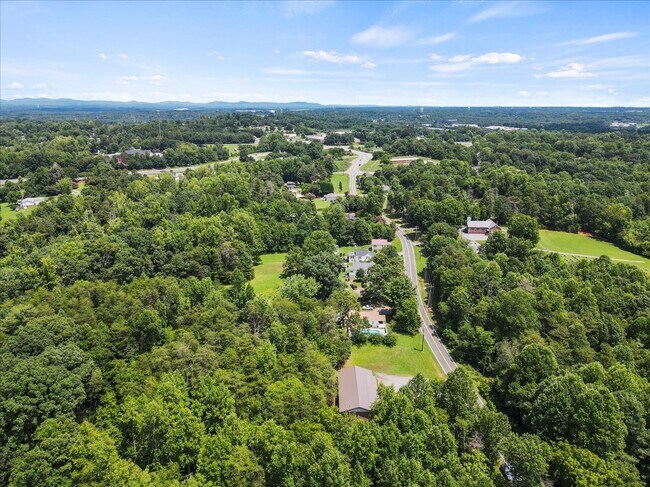
Property Record
4164 Henry River Rd, Hickory, NC 28602


Property Detail
4164 Henry River Rd
65485
LO1 PL61-54
Religious
BURKE
GENERAL BU
North Carolina
0
1.88 AC
2025
Burke County
011101
Charlotte
2,310 SF
Hickory-Lenoir-Morganton, NC
NEARBY LISTINGS FOR SALE OR LEASE
-
-
View all Hickory listings for sale on LoopNet.com
DEMOGRAPHICS near 4164 Henry River Rd
1 mile
3 mile
5 mile
2025 Total Population
1,177
10,781
32,720
2030 Population
1,180
10,913
33,430
Pop Growth 2025-2030
+ 0.25%
+ 1.22%
+ 2.17%
Average Age
44
43
42
2025 Total Households
497
4,332
13,117
HH Growth 2025-2030
+ 0.40%
+ 1.32%
+ 2.26%
Median Household Inc
$50,648
$51,902
$54,523
Avg Household Size
2.40
2.40
2.40
2025 Avg HH Vehicles
2.00
2.00
2.00
Median Home Value
$221,052
$197,686
$205,305
Median Year Built
1975
1977
1978
Nearby Places
Map Layers
Map Styles
 Street
 Aerial
Layers
 Traffic
 Biking
Places
Listings with unknown addresses are not visible on the map
- Restaurants
- Banks
- Shops
- Fitness
- Groceries
SALE & LEASE HISTORY
LISTING DATE
SALE/LEASE

Sep 25, 2016
For Lease
Sep 23, 2016
For Sale
Sep 23, 2016
For Sale
Oct 06, 2021
For Sale
Jul 09, 2018
For Sale
Aug 17, 2017
For Sale
Aug 03, 2022
For Sale
Nearby Properties
Address
Land Use
TOTAL SIZE
Lot Size
Zoning
Address
Land Use
TOTAL SIZE
Lot Size
Zoning
52,542 SF
RESIDENTIA
Address
Land Use
TOTAL SIZE
Lot Size
Zoning
173,730 SF
16.80 AC
IND
Address
Land Use
TOTAL SIZE
Lot Size
Zoning
36,767 SF
7.49 AC
RESIDENTIA
Address
Land Use
TOTAL SIZE
Lot Size
Zoning
29.21 AC
R-2
Address
Land Use
TOTAL SIZE
Lot Size
Zoning
51,668 SF
CENTRAL BU
Address
Land Use
TOTAL SIZE
Lot Size
Zoning
151,117 SF
26.59 AC
GENERAL MA
Address
Land Use
TOTAL SIZE
Lot Size
Zoning
19,107 SF
R-3 DIST -
Address
Land Use
TOTAL SIZE
Lot Size
Zoning
335,352 SF
55.48 AC
INDUSTRIAL
Address
Land Use
TOTAL SIZE
Lot Size
Zoning
6,310 SF
CENTRAL BU
Address
Land Use
TOTAL SIZE
Lot Size
Zoning
64,928 SF
24.49 AC
ED
Address
Land Use
TOTAL SIZE
Lot Size
Zoning
12,472 SF
RESIDENTIA
Address
Land Use
TOTAL SIZE
Lot Size
Zoning
91,379 SF
11.89 AC
GENERAL MA
Address
Land Use
TOTAL SIZE
Lot Size
Zoning
92,500 SF
22.91 AC
GENERAL MA
Address
Land Use
TOTAL SIZE
Lot Size
Zoning
38,464 SF
10.37 AC
GENERAL MA
Address
Land Use
TOTAL SIZE
Lot Size
Zoning
42,950 SF
6.55 AC
CENTRAL BU
Address
Land Use
TOTAL SIZE
Lot Size
Zoning
131,144 SF
10.76 AC
I
Address
Land Use
TOTAL SIZE
Lot Size
Zoning
26,338 SF
RESIDENTIA
Address
Land Use
TOTAL SIZE
Lot Size
Zoning
41,764 SF
8.63 AC
C-4
Address
Land Use
TOTAL SIZE
Lot Size
Zoning
10,336 SF
1.43 AC
HIGHWAY BU
Address
Land Use
TOTAL SIZE
Lot Size
Zoning
64,019 SF
22.06 AC
GENERAL MA
Address
Land Use
TOTAL SIZE
Lot Size
Zoning
37,812 SF
7.70 AC
RESIDENTIA
Address
Land Use
TOTAL SIZE
Lot Size
Zoning
4,320 SF
RESIDENTIA
Address
Land Use
TOTAL SIZE
Lot Size
Zoning
3.05 AC
R-40
Address
Land Use
TOTAL SIZE
Lot Size
Zoning
3,624 SF
1.33 AC
HIGHWAY BU
Address
Land Use
TOTAL SIZE
Lot Size
Zoning
3,281 SF
1.75 AC
GENERAL BU
Address
Land Use
TOTAL SIZE
Lot Size
Zoning
16,662 SF
1.96 AC
RESIDENTIA
Address
Land Use
TOTAL SIZE
Lot Size
Zoning
357,667 SF
25.47 AC
GENERAL MA
Address
Land Use
TOTAL SIZE
Lot Size
Zoning
295,979 SF
14.96 AC
GENERAL MA
Address
Land Use
TOTAL SIZE
Lot Size
Zoning
3,588 SF
11.85 AC
INDUSTRIAL
Address
Land Use
TOTAL SIZE
Lot Size
Zoning
101,634 SF
7.37 AC
I
The World's #1 Commercial Real Estate Marketplace
Connect with us
© 2026 CoStar Group
The information above has been obtained from sources believed reliable. While we do not doubt its accuracy we have not verified it and make no guarantee, warranty or representation about it. It is your responsibility to independently confirm its accuracy and completeness. Any projections, opinions, assumptions, or estimates used are for example only and do not represent the current or future performance of the property. The value of this transaction to you depends on tax and other factors which should be evaluated by your tax, financial, and legal advisors. You and your advisors should conduct a careful, independent investigation of the property to determine to your satisfaction the suitability of the property for your needs.