Property Record
419 Moody St, Waltham, MA 02453


Property Detail
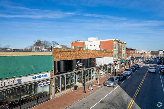
419 Moody St
WALT-000069-000016-000012
Middlesex
Storebuilding
Massachusetts
B and X Area of moderate flood hazard, usually the area between the limits of the 100-year and 500-year floods.
12
2025
0.43 AC
2025
Waltham
368500
Boston
14,037 SF
Boston-Cambridge-Newton, MA-NH
NEARBY LISTINGS FOR SALE OR LEASE
DEMOGRAPHICS near 419 Moody St
1 mile
3 mile
5 mile
2025 Total Population
32,206
138,274
323,657
2030 Population
33,148
142,989
334,363
Pop Growth 2025-2030
+ 2.92%
+ 3.41%
+ 3.31%
Average Age
38
40
41
2025 Total Households
13,718
54,709
124,790
HH Growth 2025-2030
+ 3.05%
+ 3.57%
+ 3.49%
Median Household Inc
$100,379
$130,772
$142,596
Avg Household Size
2.20
2.30
2.40
2025 Avg HH Vehicles
1.00
2.00
2.00
Median Home Value
$763,325
$887,827
$1,002,148
Median Year Built
1949
1952
1952
Nearby Places
Map Layers
Map Styles
 Street
 Aerial
Layers
 Traffic
 Biking
Places
Listings with unknown addresses are not visible on the map
- Restaurants
- Banks
- Shops
- Fitness
- Groceries
PUBLIC TRANSPORTATION
TRANSIT/SUBWAY
Waltham (Fitchburg/South Acton Line - Massachusetts Bay Transportation Authority Commuter Rail (Purple Line))
Drive
Walk
Distance
Waltham (Fitchburg/South Acton Line - Massachusetts Bay Transportation Authority Commuter Rail (Purple Line))
2 min
9 min
0.5 mi
COMMUTER RAIL
Drive
Walk
Distance
2 min
9 min
0.5 mi
Waltham (Fitchburg/South Acton Line - Massachusetts Bay Transportation Authority Commuter Rail (Purple Line))
Drive
Walk
Distance
Waltham (Fitchburg/South Acton Line - Massachusetts Bay Transportation Authority Commuter Rail (Purple Line))
2 min
9 min
0.5 mi
AIRPORT
General Edward Lawrence Logan International
Drive
Walk
Distance
General Edward Lawrence Logan International
24 min
13.6 mi
Worcester Regional
Drive
Walk
Distance
Worcester Regional
58 min
40.2 mi
Freight Ports
Port of Boston
Drive
Walk
Distance
Port of Boston
23 min
12.0 mi
SALE & LEASE HISTORY
LISTING DATE
SALE/LEASE

Jul 31, 2020
For Lease
The World's #1 Commercial Real Estate Marketplace
Connect with us
© 2026 CoStar Group
The information above has been obtained from sources believed reliable. While we do not doubt its accuracy we have not verified it and make no guarantee, warranty or representation about it. It is your responsibility to independently confirm its accuracy and completeness. Any projections, opinions, assumptions, or estimates used are for example only and do not represent the current or future performance of the property. The value of this transaction to you depends on tax and other factors which should be evaluated by your tax, financial, and legal advisors. You and your advisors should conduct a careful, independent investigation of the property to determine to your satisfaction the suitability of the property for your needs.