Property Record
419 York Rd, Warminster, PA 18974


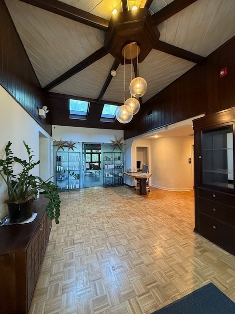

This Property Is For Sale
NEARBY LISTINGS FOR SALE OR LEASE
Property Detail
419 York Rd
41-022-148
Consolidation
Retailwithmorethanonenonretailuse
1.275A 300 FT S US202 300 FTE T402
X
Bucks
42017C0326J
Pennsylvania
2024
1.27 AC
2025
Lower Bucks County
101603
Philadelphia
4,509 SF
Philadelphia-Camden-Wilmington, PA-NJ-DE-MD
DEMOGRAPHICS near 419 York Rd
1 Mile
3 Mile
5 Mile
2024 Total Population
4,377
13,902
22,647
2029 Population
4,353
13,900
22,488
Pop Growth 2024-2029
(0.55%)
(0.01%)
(0.70%)
Average Age
48
48
48
2024 Total Households
1,963
6,330
9,656
HH Growth 2024-2029
(0.46%)
+ 0.11%
(0.58%)
Median Household Inc
$148,937
$129,979
$140,690
Avg Household Size
2.20
2.20
2.30
2024 Avg HH Vehicles
2.00
2.00
2.00
Median Home Value
$693,378
$646,386
$694,319
Median Year Built
1984
1974
1975
Nearby Places
Map Layers
Map Styles
 Street
 Aerial
- Restaurants
- Banks
- Shops
- Fitness
- Groceries
PUBLIC TRANSPORTATION
COMMUTER RAIL
Doylestown (R5 - Southeastern Pennsylvania Transportation Authority Regional Rail (SEPTA Regional Rail))
DRIVE
WALK
Distance
Doylestown (R5 - Southeastern Pennsylvania Transportation Authority Regional Rail (SEPTA Regional Rail))
18 min
9.8 mi
AIRPORT
Trenton Mercer
DRIVE
WALK
Distance
Trenton Mercer
24 min
14.2 mi
Freight Ports
Port of Philadelphia
DRIVE
WALK
Distance
Port of Philadelphia
55 min
31.2 mi
Nearby Properties
Address
Land Use
TOTAL SIZE
Lot Size
Zoning
Address
Land Use
TOTAL SIZE
Lot Size
Zoning
11.51 AC
PRD
Address
Land Use
TOTAL SIZE
Lot Size
Zoning
4 AC
PRD
Address
Land Use
TOTAL SIZE
Lot Size
Zoning
Address
Land Use
TOTAL SIZE
Lot Size
Zoning
24,768 SF
1.47 AC
FP
Address
Land Use
TOTAL SIZE
Lot Size
Zoning
8,456 SF
2.36 AC
R-2
Address
Land Use
TOTAL SIZE
Lot Size
Zoning
7,765 SF
0.13 AC
CBD
Address
Land Use
TOTAL SIZE
Lot Size
Zoning
0.36 AC
CBD
Address
Land Use
TOTAL SIZE
Lot Size
Zoning
1,620 SF
0.23 AC
Address
Land Use
TOTAL SIZE
Lot Size
Zoning
4,924 SF
0.57 AC
CBD
Address
Land Use
TOTAL SIZE
Lot Size
Zoning
14,429 SF
2.20 AC
COM
Address
Land Use
TOTAL SIZE
Lot Size
Zoning
4,434 SF
1.47 AC
HC
Address
Land Use
TOTAL SIZE
Lot Size
Zoning
39,390 SF
1.80 AC
R-2
Address
Land Use
TOTAL SIZE
Lot Size
Zoning
100 AC
I-2
Address
Land Use
TOTAL SIZE
Lot Size
Zoning
4,423 SF
0.40 AC
R-2
Address
Land Use
TOTAL SIZE
Lot Size
Zoning
3,474 SF
4.09 AC
HC
Address
Land Use
TOTAL SIZE
Lot Size
Zoning
14,331 SF
3.88 AC
HC
Address
Land Use
TOTAL SIZE
Lot Size
Zoning
24,742 SF
0.11 AC
CBD
Address
Land Use
TOTAL SIZE
Lot Size
Zoning
9,100 SF
5.40 AC
HC
Address
Land Use
TOTAL SIZE
Lot Size
Zoning
11,452 SF
3.95 AC
PRD
Address
Land Use
TOTAL SIZE
Lot Size
Zoning
20,505 SF
0.14 AC
CBD
Address
Land Use
TOTAL SIZE
Lot Size
Zoning
0.42 AC
CBD
Address
Land Use
TOTAL SIZE
Lot Size
Zoning
9,975 SF
0.11 AC
CBD
Address
Land Use
TOTAL SIZE
Lot Size
Zoning
6,851 SF
8.55 AC
RL
Address
Land Use
TOTAL SIZE
Lot Size
Zoning
10,032 SF
0.10 AC
CBD
Address
Land Use
TOTAL SIZE
Lot Size
Zoning
3,403 SF
1.95 AC
COM
Address
Land Use
TOTAL SIZE
Lot Size
Zoning
10,371 SF
0.28 AC
R-2
Address
Land Use
TOTAL SIZE
Lot Size
Zoning
8,959 SF
5 AC
RR-6
Address
Land Use
TOTAL SIZE
Lot Size
Zoning
5,423 SF
0.22 AC
R-2
Address
Land Use
TOTAL SIZE
Lot Size
Zoning
4,782 SF
8.50 AC
SRPD
Address
Land Use
TOTAL SIZE
Lot Size
Zoning
14,645 SF
0.66 AC
COM
The World's #1 Commercial Real Estate Marketplace
Connect with us
© 2025 CoStar Group
The information above has been obtained from sources believed reliable. While we do not doubt its accuracy we have not verified it and make no guarantee, warranty or representation about it. It is your responsibility to independently confirm its accuracy and completeness. Any projections, opinions, assumptions, or estimates used are for example only and do not represent the current or future performance of the property. The value of this transaction to you depends on tax and other factors which should be evaluated by your tax, financial, and legal advisors. You and your advisors should conduct a careful, independent investigation of the property to determine to your satisfaction the suitability of the property for your needs.