Property Record
4200 Springrove St, Jacksonville, FL 32209
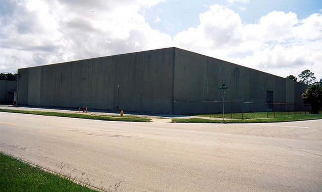
Property Detail
4200 Springrove St
084335-0000
18-27 55-2S-26E .74 SPRINGROVE GARDENS S/D N 124FT LOT 4 BLK 2
Lightindustrial
Duval
IL
Florida
B and X Area of moderate flood hazard, usually the area between the limits of the 100-year and 500-year floods.
4
2025
0.74 AC
2026
North Side
002801
Jacksonville (Florida)
17,465 SF
Jacksonville, FL
NEARBY LISTINGS FOR SALE OR LEASE
DEMOGRAPHICS near 4200 Springrove St
1 mile
3 mile
5 mile
2025 Total Population
14,453
93,942
187,627
2030 Population
15,540
100,988
201,452
Pop Growth 2025-2030
+ 7.52%
+ 7.50%
+ 7.37%
Average Age
39
39
39
2025 Total Households
5,694
36,966
77,782
HH Growth 2025-2030
+ 7.76%
+ 7.83%
+ 7.77%
Median Household Inc
$31,408
$34,539
$43,506
Avg Household Size
2.50
2.40
2.30
2025 Avg HH Vehicles
1.00
1.00
1.00
Median Home Value
$96,792
$122,360
$192,104
Median Year Built
1965
1962
1963
Nearby Places
Map Layers
Map Styles
 Street
 Aerial
Transit
 Traffic
 Biking
Places
Listings with unknown addresses are not visible on the map
- Restaurants
- Banks
- Shops
- Fitness
- Groceries
PUBLIC TRANSPORTATION
COMMUTER RAIL
Drive
Walk
Distance
6 min
2.5 mi
AIRPORT
Jacksonville International
Drive
Walk
Distance
Jacksonville International
23 min
13.6 mi
Freight Ports
Jacksonville Port
Drive
Walk
Distance
Jacksonville Port
11 min
4.9 mi
Nearby Properties
Address
Land Use
TOTAL SIZE
Lot Size
Zoning
Address
Land Use
TOTAL SIZE
Lot Size
Zoning
705,940 SF
25.12 AC
PBF-1
Address
Land Use
TOTAL SIZE
Lot Size
Zoning
313,472 SF
35.44 AC
CCBD
Address
Land Use
TOTAL SIZE
Lot Size
Zoning
299,055 SF
18.93 AC
CCBD
Address
Land Use
TOTAL SIZE
Lot Size
Zoning
163,471 SF
7.85 AC
PBF-2
Address
Land Use
TOTAL SIZE
Lot Size
Zoning
352,439 SF
3.40 AC
CCBD
Address
Land Use
TOTAL SIZE
Lot Size
Zoning
594,573 SF
27.69 AC
IL
Address
Land Use
TOTAL SIZE
Lot Size
Zoning
144,400 SF
10.32 AC
PBF-2
Address
Land Use
TOTAL SIZE
Lot Size
Zoning
311,068 SF
18.91 AC
PBF-1
Address
Land Use
TOTAL SIZE
Lot Size
Zoning
255,048 SF
20.15 AC
IL
Address
Land Use
TOTAL SIZE
Lot Size
Zoning
77,356 SF
2.15 AC
PBF-2
Address
Land Use
TOTAL SIZE
Lot Size
Zoning
186,773 SF
9.77 AC
CCG-2
Address
Land Use
TOTAL SIZE
Lot Size
Zoning
40,984 SF
2.33 AC
CCBD
Address
Land Use
TOTAL SIZE
Lot Size
Zoning
117,227 SF
14.32 AC
CCG-2
Address
Land Use
TOTAL SIZE
Lot Size
Zoning
317,474 SF
17.74 AC
IL
Address
Land Use
TOTAL SIZE
Lot Size
Zoning
679,901 SF
18.30 AC
PBF-1
Address
Land Use
TOTAL SIZE
Lot Size
Zoning
110,290 SF
3.72 AC
PBF-1
Address
Land Use
TOTAL SIZE
Lot Size
Zoning
267,290 SF
11.81 AC
IL
Address
Land Use
TOTAL SIZE
Lot Size
Zoning
323,261 SF
56.62 AC
IL
Address
Land Use
TOTAL SIZE
Lot Size
Zoning
154,437 SF
29.28 AC
IL
Address
Land Use
TOTAL SIZE
Lot Size
Zoning
138,076 SF
20.68 AC
RLD-60
Address
Land Use
TOTAL SIZE
Lot Size
Zoning
165,626 SF
10.12 AC
PUD
Address
Land Use
TOTAL SIZE
Lot Size
Zoning
190,264 SF
14.62 AC
RMD-D
Address
Land Use
TOTAL SIZE
Lot Size
Zoning
175,436 SF
10.62 AC
RMD-D
Address
Land Use
TOTAL SIZE
Lot Size
Zoning
184,283 SF
13.09 AC
RMD-D
Address
Land Use
TOTAL SIZE
Lot Size
Zoning
27,722 SF
1.61 AC
PBF-1
Address
Land Use
TOTAL SIZE
Lot Size
Zoning
82,247 SF
112.76 AC
IH
Address
Land Use
TOTAL SIZE
Lot Size
Zoning
133,278 SF
10.58 AC
PBF-2
Address
Land Use
TOTAL SIZE
Lot Size
Zoning
120,586 SF
36.53 AC
IL
Address
Land Use
TOTAL SIZE
Lot Size
Zoning
392,885 SF
61.13 AC
PBF-1
Address
Land Use
TOTAL SIZE
Lot Size
Zoning
337,531 SF
22.07 AC
IL
The World's #1 Commercial Real Estate Marketplace
Connect with us
© 2026 CoStar Group
The information above has been obtained from sources believed reliable. While we do not doubt its accuracy we have not verified it and make no guarantee, warranty or representation about it. It is your responsibility to independently confirm its accuracy and completeness. Any projections, opinions, assumptions, or estimates used are for example only and do not represent the current or future performance of the property. The value of this transaction to you depends on tax and other factors which should be evaluated by your tax, financial, and legal advisors. You and your advisors should conduct a careful, independent investigation of the property to determine to your satisfaction the suitability of the property for your needs.