Property Record
421 29Th Ct Nw, West Fargo, ND 58078

NEARBY LISTINGS FOR SALE OR LEASE
Property Detail
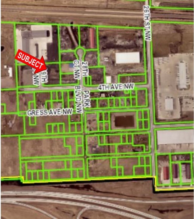
421 29Th Ct Nw
Fargo, ND-MN
Sandhills Third Addition
02-1777-00090-000
LOT: 9 BLOCK: 1 ADDITION: SANDHILLS THIRD ADDITION ADDITIONAL: SANDHILLS 3RD ADDITION LOT 9 BLK 1 **01/25/17 REPLATTED PER PLAT DOC #1491784
Realpropertynec
Cass
X
North Dakota
38017C0565G
9
2024
1.80 AC
2024
Fargo
010201
Other Market Areas
DEMOGRAPHICS near 421 29Th Ct Nw
1 Mile
3 Mile
5 Mile
2024 Total Population
103
11,141
52,115
2029 Population
110
11,946
55,972
Pop Growth 2024-2029
+ 6.80%
+ 7.23%
+ 7.40%
Average Age
35
38
35
2024 Total Households
40
4,584
22,047
HH Growth 2024-2029
+ 7.50%
+ 7.64%
+ 7.87%
Median Household Inc
$79,167
$74,478
$73,853
Avg Household Size
2.60
2.40
2.30
2024 Avg HH Vehicles
2.00
2.00
2.00
Median Home Value
$262,499
$234,873
$263,292
Median Year Built
1995
1990
2002
Nearby Places
Map Layers
Map Styles
 Street
 Aerial
- Restaurants
- Banks
- Shops
- Fitness
- Groceries
PUBLIC TRANSPORTATION
COMMUTER RAIL
Fargo Amtrak Station (Empire Builder - Amtrak)
DRIVE
WALK
Distance
Fargo Amtrak Station (Empire Builder - Amtrak)
19 min
9.1 mi
AIRPORT
Hector International
DRIVE
WALK
Distance
Hector International
22 min
11.5 mi
Freight Ports
Port Milwaukee
DRIVE
WALK
Distance
Port Milwaukee
640 min
581.2 mi
SALE & LEASE HISTORY
LISTING DATE
SALE/LEASE

Jul 08, 2019
For Sale
Nearby Properties
Address
Land Use
TOTAL SIZE
Lot Size
Zoning
Address
Land Use
TOTAL SIZE
Lot Size
Zoning
15,895 SF
41.76 AC
Address
Land Use
TOTAL SIZE
Lot Size
Zoning
354,677 SF
13.13 AC
Address
Land Use
TOTAL SIZE
Lot Size
Zoning
156,450 SF
14.92 AC
Address
Land Use
TOTAL SIZE
Lot Size
Zoning
240,766 SF
15.14 AC
Address
Land Use
TOTAL SIZE
Lot Size
Zoning
131,360 SF
4.52 AC
Address
Land Use
TOTAL SIZE
Lot Size
Zoning
Address
Land Use
TOTAL SIZE
Lot Size
Zoning
180,000 SF
10.73 AC
Address
Land Use
TOTAL SIZE
Lot Size
Zoning
13,970 SF
32.10 AC
Address
Land Use
TOTAL SIZE
Lot Size
Zoning
193,114 SF
9.96 AC
Address
Land Use
TOTAL SIZE
Lot Size
Zoning
70,800 SF
9.18 AC
Address
Land Use
TOTAL SIZE
Lot Size
Zoning
60,947 SF
4.48 AC
Address
Land Use
TOTAL SIZE
Lot Size
Zoning
Address
Land Use
TOTAL SIZE
Lot Size
Zoning
102,000 SF
4.96 AC
Address
Land Use
TOTAL SIZE
Lot Size
Zoning
60,320 SF
1.15 AC
Address
Land Use
TOTAL SIZE
Lot Size
Zoning
28,107 SF
6.19 AC
Address
Land Use
TOTAL SIZE
Lot Size
Zoning
23,900 SF
19.41 AC
Address
Land Use
TOTAL SIZE
Lot Size
Zoning
8,256 SF
9.09 AC
Address
Land Use
TOTAL SIZE
Lot Size
Zoning
Address
Land Use
TOTAL SIZE
Lot Size
Zoning
50,400 SF
10.74 AC
Address
Land Use
TOTAL SIZE
Lot Size
Zoning
5,940 SF
10.41 AC
Address
Land Use
TOTAL SIZE
Lot Size
Zoning
27,163 SF
9.30 AC
Address
Land Use
TOTAL SIZE
Lot Size
Zoning
4,694 SF
12.43 AC
Address
Land Use
TOTAL SIZE
Lot Size
Zoning
50,820 SF
11.18 AC
Address
Land Use
TOTAL SIZE
Lot Size
Zoning
12,163 SF
1.80 AC
Address
Land Use
TOTAL SIZE
Lot Size
Zoning
62,700 SF
3.15 AC
Address
Land Use
TOTAL SIZE
Lot Size
Zoning
40,500 SF
5.51 AC
Address
Land Use
TOTAL SIZE
Lot Size
Zoning
29,960 SF
2.57 AC
Address
Land Use
TOTAL SIZE
Lot Size
Zoning
20,860 SF
11.11 AC
Address
Land Use
TOTAL SIZE
Lot Size
Zoning
Address
Land Use
TOTAL SIZE
Lot Size
Zoning
6,156 SF
4.25 AC
The World's #1 Commercial Real Estate Marketplace
Connect with us
© 2025 CoStar Group
The information above has been obtained from sources believed reliable. While we do not doubt its accuracy we have not verified it and make no guarantee, warranty or representation about it. It is your responsibility to independently confirm its accuracy and completeness. Any projections, opinions, assumptions, or estimates used are for example only and do not represent the current or future performance of the property. The value of this transaction to you depends on tax and other factors which should be evaluated by your tax, financial, and legal advisors. You and your advisors should conduct a careful, independent investigation of the property to determine to your satisfaction the suitability of the property for your needs.