Property Record
4210 S 33Rd St, Lincoln, NE 68506


NEARBY LISTINGS FOR SALE OR LEASE
Property Detail
4210 S 33Rd St
Lincoln, NE
South Gate Heights
16-06-420-001-000
SOUTH GATE HEIGHTS, BLOCK 10, LOT 1 - 2, S90
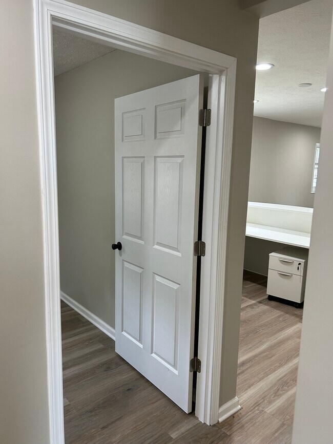
Officebuilding
Lancaster
X
Nebraska
31109C0318F
1-2
2024
0.32 AC
2025
South
002702
Lincoln
2,158 SF
DEMOGRAPHICS near 4210 S 33Rd St
1 Mile
3 Mile
5 Mile
2024 Total Population
13,661
109,053
213,708
2029 Population
14,064
112,582
221,559
Pop Growth 2024-2029
+ 2.95%
+ 3.24%
+ 3.67%
Average Age
39
39
38
2024 Total Households
5,921
47,692
88,957
HH Growth 2024-2029
+ 3.02%
+ 3.39%
+ 3.84%
Median Household Inc
$72,681
$64,568
$65,741
Avg Household Size
2.30
2.20
2.30
2024 Avg HH Vehicles
2.00
2.00
2.00
Median Home Value
$232,723
$236,425
$244,895
Median Year Built
1969
1972
1976
Nearby Places
Map Layers
Map Styles
 Street
 Aerial
- Restaurants
- Banks
- Shops
- Fitness
- Groceries
PUBLIC TRANSPORTATION
COMMUTER RAIL
DRIVE
WALK
Distance
11 min
5.1 mi
AIRPORT
Lincoln
DRIVE
WALK
Distance
Lincoln
17 min
10.1 mi
SALE & LEASE HISTORY
LISTING DATE
SALE/LEASE

Sep 24, 2016
For Sale
Oct 27, 2016
For Sale
Nov 09, 2022
For Lease
Jun 24, 2025
For Sale
Jan 02, 2020
For Lease
Dec 18, 2024
For Lease
Nearby Properties
Address
Land Use
TOTAL SIZE
Lot Size
Zoning
Address
Land Use
TOTAL SIZE
Lot Size
Zoning
604,749 SF
20.55 AC
R2
Address
Land Use
TOTAL SIZE
Lot Size
Zoning
684,598 SF
21.16 AC
B3
Address
Land Use
TOTAL SIZE
Lot Size
Zoning
329,069 SF
30 AC
R6
Address
Land Use
TOTAL SIZE
Lot Size
Zoning
213,738 SF
14.97 AC
B5
Address
Land Use
TOTAL SIZE
Lot Size
Zoning
234,103 SF
13.56 AC
R2
Address
Land Use
TOTAL SIZE
Lot Size
Zoning
44,957 SF
7.93 AC
R4
Address
Land Use
TOTAL SIZE
Lot Size
Zoning
119,257 SF
1.68 AC
B4
Address
Land Use
TOTAL SIZE
Lot Size
Zoning
119,335 SF
26.11 AC
R1
Address
Land Use
TOTAL SIZE
Lot Size
Zoning
90,362 SF
2.53 AC
B3
Address
Land Use
TOTAL SIZE
Lot Size
Zoning
148,760 SF
4.99 AC
R4
Address
Land Use
TOTAL SIZE
Lot Size
Zoning
11.90 AC
P
Address
Land Use
TOTAL SIZE
Lot Size
Zoning
32,854 SF
22.09 AC
NULL
Address
Land Use
TOTAL SIZE
Lot Size
Zoning
32,443 SF
7.20 AC
NULL
Address
Land Use
TOTAL SIZE
Lot Size
Zoning
92,505 SF
2.96 AC
B4
Address
Land Use
TOTAL SIZE
Lot Size
Zoning
33,983 SF
23.08 AC
R4
Address
Land Use
TOTAL SIZE
Lot Size
Zoning
22,324 SF
16.59 AC
NULL
Address
Land Use
TOTAL SIZE
Lot Size
Zoning
68,664 SF
7 AC
NULL
Address
Land Use
TOTAL SIZE
Lot Size
Zoning
16,284 SF
8.77 AC
NULL
Address
Land Use
TOTAL SIZE
Lot Size
Zoning
39,968 SF
13.41 AC
NULL
Address
Land Use
TOTAL SIZE
Lot Size
Zoning
67,029 SF
17.26 AC
R3
Address
Land Use
TOTAL SIZE
Lot Size
Zoning
131,049 SF
78.38 AC
P
Address
Land Use
TOTAL SIZE
Lot Size
Zoning
62,252 SF
1.92 AC
R2
Address
Land Use
TOTAL SIZE
Lot Size
Zoning
86,718 SF
7.16 AC
NULL
Address
Land Use
TOTAL SIZE
Lot Size
Zoning
63,298 SF
10.15 AC
R1
Address
Land Use
TOTAL SIZE
Lot Size
Zoning
78,993 SF
3.56 AC
H4
Address
Land Use
TOTAL SIZE
Lot Size
Zoning
68,764 SF
10.45 AC
R3
Address
Land Use
TOTAL SIZE
Lot Size
Zoning
101,990 SF
5.38 AC
R4
Address
Land Use
TOTAL SIZE
Lot Size
Zoning
111,178 SF
15.53 AC
O3
Address
Land Use
TOTAL SIZE
Lot Size
Zoning
372,652 SF
24.70 AC
I2
Address
Land Use
TOTAL SIZE
Lot Size
Zoning
149,431 SF
13.38 AC
O3
The World's #1 Commercial Real Estate Marketplace
Connect with us
© 2026 CoStar Group
The information above has been obtained from sources believed reliable. While we do not doubt its accuracy we have not verified it and make no guarantee, warranty or representation about it. It is your responsibility to independently confirm its accuracy and completeness. Any projections, opinions, assumptions, or estimates used are for example only and do not represent the current or future performance of the property. The value of this transaction to you depends on tax and other factors which should be evaluated by your tax, financial, and legal advisors. You and your advisors should conduct a careful, independent investigation of the property to determine to your satisfaction the suitability of the property for your needs.