Property Record
4218 Gateway Dr, Grand Forks, ND 58203

NEARBY LISTINGS FOR SALE OR LEASE
Property Detail
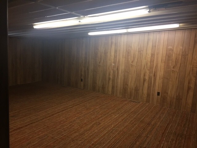
4218 Gateway Dr
Grand Forks, ND-MN
Ellertson's First Resubdivision
44150700002000
4216 GATEWAY DR LOT A BLK 1
Commercialnec
Grand Forks
X
North Dakota
38035C0587E
a
2024
1.07 AC
2024
North Dakota Area
011701
Other Market Areas
14,000 SF
DEMOGRAPHICS near 4218 Gateway Dr
1 Mile
3 Mile
5 Mile
2024 Total Population
8,920
38,269
66,076
2029 Population
8,919
37,851
65,339
Pop Growth 2024-2029
(0.01%)
(1.09%)
(1.12%)
Average Age
28
35
36
2024 Total Households
3,090
16,079
28,288
HH Growth 2024-2029
+ 0.19%
(1.24%)
(1.20%)
Median Household Inc
$32,957
$52,768
$58,500
Avg Household Size
2.20
2.10
2.10
2024 Avg HH Vehicles
2.00
2.00
2.00
Median Home Value
$190,682
$201,655
$230,883
Median Year Built
1991
1980
1981
Nearby Places
Map Layers
Map Styles
 Street
 Aerial
- Restaurants
- Banks
- Shops
- Fitness
- Groceries
PUBLIC TRANSPORTATION
COMMUTER RAIL
Grand Forks Amtrak Station (Empire Builder - Amtrak)
DRIVE
WALK
Distance
Grand Forks Amtrak Station (Empire Builder - Amtrak)
4 min
2.1 mi
AIRPORT
Grand Forks International
DRIVE
WALK
Distance
Grand Forks International
8 min
5.1 mi
Freight Ports
Port Milwaukee
DRIVE
WALK
Distance
Port Milwaukee
713 min
651.6 mi
SALE & LEASE HISTORY
LISTING DATE
SALE/LEASE

Sep 06, 2017
For Lease
Nearby Properties
Address
Land Use
TOTAL SIZE
Lot Size
Zoning
Address
Land Use
TOTAL SIZE
Lot Size
Zoning
Address
Land Use
TOTAL SIZE
Lot Size
Zoning
16.53 AC
Address
Land Use
TOTAL SIZE
Lot Size
Zoning
74,758 SF
9.98 AC
Address
Land Use
TOTAL SIZE
Lot Size
Zoning
Address
Land Use
TOTAL SIZE
Lot Size
Zoning
172,013 SF
8.14 AC
Address
Land Use
TOTAL SIZE
Lot Size
Zoning
198,253 SF
2.76 AC
Address
Land Use
TOTAL SIZE
Lot Size
Zoning
173,317 SF
15.40 AC
Address
Land Use
TOTAL SIZE
Lot Size
Zoning
Address
Land Use
TOTAL SIZE
Lot Size
Zoning
147,161 SF
4.22 AC
Address
Land Use
TOTAL SIZE
Lot Size
Zoning
189,378 SF
19.04 AC
Address
Land Use
TOTAL SIZE
Lot Size
Zoning
19.06 AC
Address
Land Use
TOTAL SIZE
Lot Size
Zoning
159,975 SF
12.91 AC
Address
Land Use
TOTAL SIZE
Lot Size
Zoning
Address
Land Use
TOTAL SIZE
Lot Size
Zoning
152,729 SF
9.44 AC
Address
Land Use
TOTAL SIZE
Lot Size
Zoning
53,181 SF
6.46 AC
Address
Land Use
TOTAL SIZE
Lot Size
Zoning
140,040 SF
6.33 AC
Address
Land Use
TOTAL SIZE
Lot Size
Zoning
157,264 SF
5.99 AC
Address
Land Use
TOTAL SIZE
Lot Size
Zoning
56,280 SF
10.50 AC
Address
Land Use
TOTAL SIZE
Lot Size
Zoning
129,480 SF
10.85 AC
Address
Land Use
TOTAL SIZE
Lot Size
Zoning
148,083 SF
7.35 AC
Address
Land Use
TOTAL SIZE
Lot Size
Zoning
Address
Land Use
TOTAL SIZE
Lot Size
Zoning
158,412 SF
8.91 AC
Address
Land Use
TOTAL SIZE
Lot Size
Zoning
Address
Land Use
TOTAL SIZE
Lot Size
Zoning
119,267 SF
4.10 AC
Address
Land Use
TOTAL SIZE
Lot Size
Zoning
Address
Land Use
TOTAL SIZE
Lot Size
Zoning
60,112 SF
2.65 AC
Address
Land Use
TOTAL SIZE
Lot Size
Zoning
Address
Land Use
TOTAL SIZE
Lot Size
Zoning
Address
Land Use
TOTAL SIZE
Lot Size
Zoning
Address
Land Use
TOTAL SIZE
Lot Size
Zoning
52,782 SF
2.74 AC
The World's #1 Commercial Real Estate Marketplace
Connect with us
© 2025 CoStar Group
The information above has been obtained from sources believed reliable. While we do not doubt its accuracy we have not verified it and make no guarantee, warranty or representation about it. It is your responsibility to independently confirm its accuracy and completeness. Any projections, opinions, assumptions, or estimates used are for example only and do not represent the current or future performance of the property. The value of this transaction to you depends on tax and other factors which should be evaluated by your tax, financial, and legal advisors. You and your advisors should conduct a careful, independent investigation of the property to determine to your satisfaction the suitability of the property for your needs.