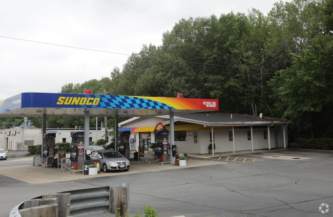
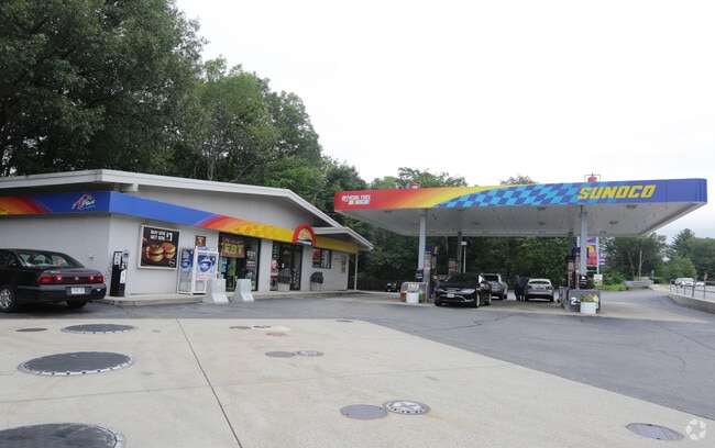
Property Record
422 Main St, Hudson, MA 01749

Property Detail
422 Main St
HUDS-000021-000000-000088
Middlesex
Commercialnec
Massachusetts
M4
88
AE The base floodplain where base flood elevations are provided. AE Zones are now used on new format FIRMs instead of A1-A30 Zones.
0.57 AC
2025
Concord/Maynard
2025
Boston
322400
Boston-Cambridge-Newton, MA-NH
2,271 SF
NEARBY LISTINGS FOR SALE OR LEASE
-
-
View all Hudson listings for sale on LoopNet.com
DEMOGRAPHICS near 422 Main St
1 mile
3 mile
5 mile
2025 Total Population
5,913
38,002
81,868
2030 Population
6,095
39,500
84,915
Pop Growth 2025-2030
+ 3.08%
+ 3.94%
+ 3.72%
Average Age
43
43
42
2025 Total Households
2,326
14,822
32,153
HH Growth 2025-2030
+ 3.14%
+ 4.02%
+ 3.84%
Median Household Inc
$123,851
$119,099
$113,048
Avg Household Size
2.50
2.50
2.50
2025 Avg HH Vehicles
2.00
2.00
2.00
Median Home Value
$534,903
$603,710
$603,714
Median Year Built
1969
1975
1974
Nearby Places
Map Layers
Map Styles
 Street
 Aerial
Layers
 Traffic
 Biking
Places
Listings with unknown addresses are not visible on the map
- Restaurants
- Banks
- Shops
- Fitness
- Groceries
PUBLIC TRANSPORTATION
COMMUTER RAIL
South Acton (Fitchburg/South Acton Line - Massachusetts Bay Transportation Authority Commuter Rail (Purple Line))
Drive
Walk
Distance
South Acton (Fitchburg/South Acton Line - Massachusetts Bay Transportation Authority Commuter Rail (Purple Line))
18 min
7.8 mi
AIRPORT
Worcester Regional
Drive
Walk
Distance
Worcester Regional
35 min
22.4 mi
General Edward Lawrence Logan International
Drive
Walk
Distance
General Edward Lawrence Logan International
56 min
32.7 mi
Nearby Properties
Address
Land Use
TOTAL SIZE
Lot Size
Zoning
Address
Land Use
TOTAL SIZE
Lot Size
Zoning
284,231 SF
62.04 AC
A2
Address
Land Use
TOTAL SIZE
Lot Size
Zoning
71.70 AC
LI
Address
Land Use
TOTAL SIZE
Lot Size
Zoning
23,890 SF
36.39 AC
A3
Address
Land Use
TOTAL SIZE
Lot Size
Zoning
13.86 AC
SB
Address
Land Use
TOTAL SIZE
Lot Size
Zoning
54.67 AC
LI
Address
Land Use
TOTAL SIZE
Lot Size
Zoning
267,805 SF
30.74 AC
A2
Address
Land Use
TOTAL SIZE
Lot Size
Zoning
14.80 AC
M6
Address
Land Use
TOTAL SIZE
Lot Size
Zoning
121,434 SF
21.35 AC
SA8
Address
Land Use
TOTAL SIZE
Lot Size
Zoning
188,882 SF
19.37 AC
A3
Address
Land Use
TOTAL SIZE
Lot Size
Zoning
91,722 SF
8.38 AC
A2
Address
Land Use
TOTAL SIZE
Lot Size
Zoning
12.42 AC
M1
Address
Land Use
TOTAL SIZE
Lot Size
Zoning
118,126 SF
82.89 AC
Address
Land Use
TOTAL SIZE
Lot Size
Zoning
9.66 AC
A1
Address
Land Use
TOTAL SIZE
Lot Size
Zoning
119,850 SF
49.66 AC
LC1
Address
Land Use
TOTAL SIZE
Lot Size
Zoning
21.17 AC
A1
Address
Land Use
TOTAL SIZE
Lot Size
Zoning
85,958 SF
13.52 AC
A3
Address
Land Use
TOTAL SIZE
Lot Size
Zoning
215,936 SF
15.63 AC
I
Address
Land Use
TOTAL SIZE
Lot Size
Zoning
196,145 SF
10.18 AC
LI
Address
Land Use
TOTAL SIZE
Lot Size
Zoning
16.84 AC
M5
Address
Land Use
TOTAL SIZE
Lot Size
Zoning
182,509 SF
11.35 AC
A2
Address
Land Use
TOTAL SIZE
Lot Size
Zoning
9.90 AC
C12
Address
Land Use
TOTAL SIZE
Lot Size
Zoning
75,542 SF
3.23 AC
SB
Address
Land Use
TOTAL SIZE
Lot Size
Zoning
80,722 SF
27.01 AC
SA8
Address
Land Use
TOTAL SIZE
Lot Size
Zoning
10 AC
SA8
Address
Land Use
TOTAL SIZE
Lot Size
Zoning
148.66 AC
M6
Address
Land Use
TOTAL SIZE
Lot Size
Zoning
16.51 AC
SA7
Address
Land Use
TOTAL SIZE
Lot Size
Zoning
102,380 SF
12.22 AC
LI
Address
Land Use
TOTAL SIZE
Lot Size
Zoning
104,752 SF
7.54 AC
C11
Address
Land Use
TOTAL SIZE
Lot Size
Zoning
138,734 SF
16.03 AC
LCI1
Address
Land Use
TOTAL SIZE
Lot Size
Zoning
112,548 SF
1 AC
The World's #1 Commercial Real Estate Marketplace
Connect with us
© 2026 CoStar Group
The information above has been obtained from sources believed reliable. While we do not doubt its accuracy we have not verified it and make no guarantee, warranty or representation about it. It is your responsibility to independently confirm its accuracy and completeness. Any projections, opinions, assumptions, or estimates used are for example only and do not represent the current or future performance of the property. The value of this transaction to you depends on tax and other factors which should be evaluated by your tax, financial, and legal advisors. You and your advisors should conduct a careful, independent investigation of the property to determine to your satisfaction the suitability of the property for your needs.