Property Record
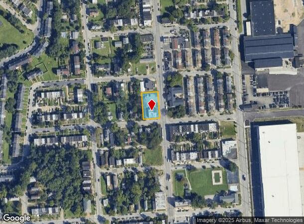
4220 Pennington Ave, Curtis Bay, MD 21226


NEARBY LISTINGS FOR SALE OR LEASE
Property Detail
4220 Pennington Ave
7227-001
160X100
Storebuilding
Baltimore City
X
Maryland
2400100530H
1
2024
0.37 AC
2025
Baltimore Southeast
250500
Baltimore
2,500 SF
Baltimore-Columbia-Towson, MD
DEMOGRAPHICS near 4220 Pennington Ave
1 Mile
3 Mile
5 Mile
2024 Total Population
11,601
50,438
250,859
2029 Population
11,302
50,021
246,742
Pop Growth 2024-2029
(2.58%)
(0.83%)
(1.64%)
Average Age
35
37
37
2024 Total Households
4,150
18,727
104,901
HH Growth 2024-2029
(2.82%)
(1.01%)
(1.98%)
Median Household Inc
$38,269
$55,806
$70,593
Avg Household Size
2.70
2.60
2.30
2024 Avg HH Vehicles
1.00
1.00
1.00
Median Home Value
$131,342
$202,130
$269,757
Median Year Built
1950
1957
1954
Nearby Places
Map Layers
Map Styles
 Street
 Aerial
- Restaurants
- Banks
- Shops
- Fitness
- Groceries
PUBLIC TRANSPORTATION
COMMUTER RAIL
Camden Station (CAMDEN - WASHINGTON - Maryland Area Regional Commuter Trains (The MARC), Camden Line - Maryland Area Regional Commuter Trains (The MARC))
DRIVE
WALK
Distance
Camden Station (CAMDEN - WASHINGTON - Maryland Area Regional Commuter Trains (The MARC), Camden Line - Maryland Area Regional Commuter Trains (The MARC))
13 min
5.4 mi
Halethorpe Marc Nb (PENN - WASHINGTON - Maryland Transit Administration)
DRIVE
WALK
Distance
Halethorpe Marc Nb (PENN - WASHINGTON - Maryland Transit Administration)
18 min
9.2 mi
AIRPORT
Baltimore/Washington International Thurgood Marshall
DRIVE
WALK
Distance
Baltimore/Washington International Thurgood Marshall
19 min
10.0 mi
Freight Ports
Port of Baltimore
DRIVE
WALK
Distance
Port of Baltimore
13 min
4.9 mi
SALE & LEASE HISTORY
LISTING DATE
SALE/LEASE

Oct 24, 2016
For Sale
Oct 11, 2016
For Sale
Nov 27, 2019
For Sale
May 04, 2018
For Sale
Jul 16, 2018
For Sale
Feb 16, 2018
For Sale
Aug 22, 2017
For Sale
Aug 20, 2018
For Sale
Apr 16, 2019
For Sale
Apr 05, 2017
For Sale
Nearby Properties
Address
Land Use
TOTAL SIZE
Lot Size
Zoning
Address
Land Use
TOTAL SIZE
Lot Size
Zoning
467.03 AC
W2
Address
Land Use
TOTAL SIZE
Lot Size
Zoning
642,817 SF
1.91 AC
PC-2
Address
Land Use
TOTAL SIZE
Lot Size
Zoning
520,407 SF
16.85 AC
H
Address
Land Use
TOTAL SIZE
Lot Size
Zoning
315,605 SF
1.80 AC
Address
Land Use
TOTAL SIZE
Lot Size
Zoning
289,829 SF
24.56 AC
C3
Address
Land Use
TOTAL SIZE
Lot Size
Zoning
234,439 SF
1.02 AC
Address
Land Use
TOTAL SIZE
Lot Size
Zoning
290,000 SF
1.51 AC
PC-2
Address
Land Use
TOTAL SIZE
Lot Size
Zoning
19.20 AC
R15
Address
Land Use
TOTAL SIZE
Lot Size
Zoning
12.90 AC
R15
Address
Land Use
TOTAL SIZE
Lot Size
Zoning
233,408 SF
24.73 AC
C3
Address
Land Use
TOTAL SIZE
Lot Size
Zoning
132,655 SF
0.74 AC
Address
Land Use
TOTAL SIZE
Lot Size
Zoning
263,024 SF
6.87 AC
C3
Address
Land Use
TOTAL SIZE
Lot Size
Zoning
111.20 AC
W3
Address
Land Use
TOTAL SIZE
Lot Size
Zoning
173,735 SF
17.31 AC
PC-4
Address
Land Use
TOTAL SIZE
Lot Size
Zoning
552,387 SF
88.86 AC
MI
Address
Land Use
TOTAL SIZE
Lot Size
Zoning
374,715 SF
2.96 AC
C-2
Address
Land Use
TOTAL SIZE
Lot Size
Zoning
16.26 AC
R15
Address
Land Use
TOTAL SIZE
Lot Size
Zoning
239,476 SF
19.02 AC
MI
Address
Land Use
TOTAL SIZE
Lot Size
Zoning
12 AC
C3
Address
Land Use
TOTAL SIZE
Lot Size
Zoning
190,650 SF
20.80 AC
I-2
Address
Land Use
TOTAL SIZE
Lot Size
Zoning
119,220 SF
6.99 AC
W1
Address
Land Use
TOTAL SIZE
Lot Size
Zoning
227,704 SF
23.52 AC
C4
Address
Land Use
TOTAL SIZE
Lot Size
Zoning
265,423 SF
22.26 AC
MI
Address
Land Use
TOTAL SIZE
Lot Size
Zoning
518,536 SF
136.14 AC
MI
Address
Land Use
TOTAL SIZE
Lot Size
Zoning
209,044 SF
17.28 AC
C3
Address
Land Use
TOTAL SIZE
Lot Size
Zoning
6.35 AC
PC-4
Address
Land Use
TOTAL SIZE
Lot Size
Zoning
155,608 SF
18.68 AC
C3
Address
Land Use
TOTAL SIZE
Lot Size
Zoning
482,600 SF
26.50 AC
I-2
Address
Land Use
TOTAL SIZE
Lot Size
Zoning
312,670 SF
8.53 AC
C-2
Address
Land Use
TOTAL SIZE
Lot Size
Zoning
377,524 SF
31.04 AC
C3
The World's #1 Commercial Real Estate Marketplace
Connect with us
© 2025 CoStar Group
The information above has been obtained from sources believed reliable. While we do not doubt its accuracy we have not verified it and make no guarantee, warranty or representation about it. It is your responsibility to independently confirm its accuracy and completeness. Any projections, opinions, assumptions, or estimates used are for example only and do not represent the current or future performance of the property. The value of this transaction to you depends on tax and other factors which should be evaluated by your tax, financial, and legal advisors. You and your advisors should conduct a careful, independent investigation of the property to determine to your satisfaction the suitability of the property for your needs.