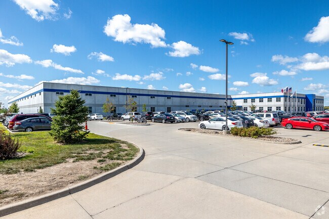
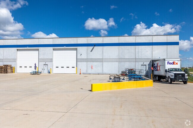
Property Record
4240 Army Post Rd, Des Moines, IA 50321

Property Detail
4240 Army Post Rd
12007536405001
PAR 2016-230 BK 16318 PG 97 COM E 1/4 COR SEC 36 THN S 33F W 115.03F TO POB THN S 1118.35F SW 56.72F SW 143.64F W 314.97F NW 341.94F N 636.15F NE 215.42F N 179.52F NW 120.74F NELY 39.61F E 650.43F TO POB SEC 36-78-25
Officebuilding
POLK
B and X Area of moderate flood hazard, usually the area between the limits of the 100-year and 500-year floods.
Iowa
2024
20.85 AC
2025
South
011028
Des Moines
302,800 SF
Des Moines-West Des Moines, IA
NEARBY LISTINGS FOR SALE OR LEASE
DEMOGRAPHICS near 4240 Army Post Rd
1 mile
3 mile
5 mile
2025 Total Population
315
27,867
91,286
2030 Population
329
29,273
95,483
Pop Growth 2025-2030
+ 4.44%
+ 5.05%
+ 4.60%
Average Age
37
39
39
2025 Total Households
111
10,999
37,835
HH Growth 2025-2030
+ 4.50%
+ 5.11%
+ 4.72%
Median Household Inc
$93,749
$81,994
$72,988
Avg Household Size
2.80
2.40
2.30
2025 Avg HH Vehicles
2.00
2.00
2.00
Median Home Value
$258,108
$255,774
$239,109
Median Year Built
1982
1978
1973
Nearby Places
Map Layers
Map Styles
 Street
 Aerial
Layers
 Traffic
 Biking
Places
Listings with unknown addresses are not visible on the map
- Restaurants
- Banks
- Shops
- Fitness
- Groceries
PUBLIC TRANSPORTATION
AIRPORT
Des Moines International
Drive
Walk
Distance
Des Moines International
10 min
4.1 mi
Freight Ports
Port Milwaukee
Drive
Walk
Distance
Port Milwaukee
428 min
381.1 mi
Nearby Properties
Address
Land Use
TOTAL SIZE
Lot Size
Zoning
Address
Land Use
TOTAL SIZE
Lot Size
Zoning
351,427 SF
57.41 AC
Address
Land Use
TOTAL SIZE
Lot Size
Zoning
496,782 SF
59.32 AC
Address
Land Use
TOTAL SIZE
Lot Size
Zoning
283,760 SF
27.19 AC
Address
Land Use
TOTAL SIZE
Lot Size
Zoning
283,760 SF
14.96 AC
Address
Land Use
TOTAL SIZE
Lot Size
Zoning
227,640 SF
19.48 AC
Address
Land Use
TOTAL SIZE
Lot Size
Zoning
Address
Land Use
TOTAL SIZE
Lot Size
Zoning
397,938 SF
27.97 AC
PUD
Address
Land Use
TOTAL SIZE
Lot Size
Zoning
203,710 SF
26.88 AC
Address
Land Use
TOTAL SIZE
Lot Size
Zoning
298,716 SF
18.90 AC
PUD
Address
Land Use
TOTAL SIZE
Lot Size
Zoning
526,295 SF
26.06 AC
M-1
Address
Land Use
TOTAL SIZE
Lot Size
Zoning
93,889 SF
17.07 AC
Address
Land Use
TOTAL SIZE
Lot Size
Zoning
161,788 SF
9.41 AC
PBP
Address
Land Use
TOTAL SIZE
Lot Size
Zoning
61,320 SF
8.13 AC
Address
Land Use
TOTAL SIZE
Lot Size
Zoning
260,420 SF
18.17 AC
R-3
Address
Land Use
TOTAL SIZE
Lot Size
Zoning
107,550 SF
7.30 AC
Address
Land Use
TOTAL SIZE
Lot Size
Zoning
131,361 SF
7.50 AC
Address
Land Use
TOTAL SIZE
Lot Size
Zoning
191,668 SF
8.27 AC
R-6
Address
Land Use
TOTAL SIZE
Lot Size
Zoning
149,564 SF
22.29 AC
PUD
Address
Land Use
TOTAL SIZE
Lot Size
Zoning
86,789 SF
15.23 AC
Address
Land Use
TOTAL SIZE
Lot Size
Zoning
135,016 SF
25.08 AC
M-1
Address
Land Use
TOTAL SIZE
Lot Size
Zoning
82,044 SF
2.91 AC
Address
Land Use
TOTAL SIZE
Lot Size
Zoning
38,950 SF
9.99 AC
RM
Address
Land Use
TOTAL SIZE
Lot Size
Zoning
144,828 SF
8.34 AC
R-3
Address
Land Use
TOTAL SIZE
Lot Size
Zoning
23,662 SF
15.89 AC
PBP
Address
Land Use
TOTAL SIZE
Lot Size
Zoning
121,200 SF
10.32 AC
C-2
Address
Land Use
TOTAL SIZE
Lot Size
Zoning
109,422 SF
16.09 AC
PBP
Address
Land Use
TOTAL SIZE
Lot Size
Zoning
178,721 SF
8.19 AC
C-2
Address
Land Use
TOTAL SIZE
Lot Size
Zoning
73,000 SF
4.07 AC
PUD
Address
Land Use
TOTAL SIZE
Lot Size
Zoning
44,047 SF
1.79 AC
The World's #1 Commercial Real Estate Marketplace
Connect with us
© 2026 CoStar Group
The information above has been obtained from sources believed reliable. While we do not doubt its accuracy we have not verified it and make no guarantee, warranty or representation about it. It is your responsibility to independently confirm its accuracy and completeness. Any projections, opinions, assumptions, or estimates used are for example only and do not represent the current or future performance of the property. The value of this transaction to you depends on tax and other factors which should be evaluated by your tax, financial, and legal advisors. You and your advisors should conduct a careful, independent investigation of the property to determine to your satisfaction the suitability of the property for your needs.