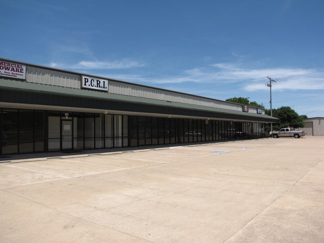
Property Record
4242 Koppe Bridge Rd, College Station, TX 77845

Property Detail
4242 Koppe Bridge Rd
College Station-Bryan, TX
BENJAMIN GRAHAM (REPLAT OF LOT 2), LOT 2A, ACRES 3.67
118045
Brazos
Commercialnec
Texas
B and X Area of moderate flood hazard, usually the area between the limits of the 100-year and 500-year floods.
2a
2024
3.67 AC
2025
Bryan & College Station
002020
Other Market Areas
30,185 SF
NEARBY LISTINGS FOR SALE OR LEASE
DEMOGRAPHICS near 4242 Koppe Bridge Rd
1 mile
3 mile
5 mile
2025 Total Population
4,531
35,408
79,280
2030 Population
4,858
37,557
83,534
Pop Growth 2025-2030
+ 7.22%
+ 6.07%
+ 5.37%
Average Age
35
34
34
2025 Total Households
1,538
12,425
30,046
HH Growth 2025-2030
+ 7.74%
+ 6.58%
+ 5.73%
Median Household Inc
$118,334
$102,627
$70,964
Avg Household Size
2.90
2.80
2.60
2025 Avg HH Vehicles
2.00
2.00
2.00
Median Home Value
$432,808
$366,406
$384,488
Median Year Built
2010
2008
2002
Nearby Places
Map Layers
Map Styles
 Street
 Aerial
Transit
 Traffic
 Biking
Places
Listings with unknown addresses are not visible on the map
- Restaurants
- Banks
- Shops
- Fitness
- Groceries
PUBLIC TRANSPORTATION
AIRPORT
Easterwood Field
Drive
Walk
Distance
Easterwood Field
20 min
8.8 mi
Freight Ports
Port of Houston
Drive
Walk
Distance
Port of Houston
120 min
93.6 mi
SALE & LEASE HISTORY
LISTING DATE
SALE/LEASE

Sep 24, 2016
For Sale
Oct 01, 2019
For Lease
Nov 03, 2017
For Sale
Apr 26, 2017
For Sale
Nearby Properties
Address
Land Use
TOTAL SIZE
Lot Size
Zoning
Address
Land Use
TOTAL SIZE
Lot Size
Zoning
Address
Land Use
TOTAL SIZE
Lot Size
Zoning
353,988 SF
17.66 AC
Address
Land Use
TOTAL SIZE
Lot Size
Zoning
Address
Land Use
TOTAL SIZE
Lot Size
Zoning
312,391 SF
8.99 AC
Address
Land Use
TOTAL SIZE
Lot Size
Zoning
249,346 SF
12 AC
Address
Land Use
TOTAL SIZE
Lot Size
Zoning
283,935 SF
11.06 AC
Address
Land Use
TOTAL SIZE
Lot Size
Zoning
128,538 SF
50.39 AC
Address
Land Use
TOTAL SIZE
Lot Size
Zoning
Address
Land Use
TOTAL SIZE
Lot Size
Zoning
29.94 AC
Address
Land Use
TOTAL SIZE
Lot Size
Zoning
97,656 SF
17.40 AC
Address
Land Use
TOTAL SIZE
Lot Size
Zoning
741,391 SF
15.53 AC
Address
Land Use
TOTAL SIZE
Lot Size
Zoning
117,416 SF
8.58 AC
Address
Land Use
TOTAL SIZE
Lot Size
Zoning
54,041 SF
51.72 AC
Address
Land Use
TOTAL SIZE
Lot Size
Zoning
37,249 SF
4.77 AC
Address
Land Use
TOTAL SIZE
Lot Size
Zoning
90,460 SF
5.59 AC
Address
Land Use
TOTAL SIZE
Lot Size
Zoning
25,538 SF
10 AC
Address
Land Use
TOTAL SIZE
Lot Size
Zoning
122,494 SF
13.70 AC
Address
Land Use
TOTAL SIZE
Lot Size
Zoning
43 SF
36.90 AC
Address
Land Use
TOTAL SIZE
Lot Size
Zoning
18,125 SF
3.92 AC
Address
Land Use
TOTAL SIZE
Lot Size
Zoning
16,345 SF
2.30 AC
Address
Land Use
TOTAL SIZE
Lot Size
Zoning
13,753 SF
2.14 AC
Address
Land Use
TOTAL SIZE
Lot Size
Zoning
12,975 SF
7.69 AC
Address
Land Use
TOTAL SIZE
Lot Size
Zoning
32,306 SF
2.75 AC
Address
Land Use
TOTAL SIZE
Lot Size
Zoning
63,715 SF
5 AC
Address
Land Use
TOTAL SIZE
Lot Size
Zoning
20,196 SF
2.40 AC
Address
Land Use
TOTAL SIZE
Lot Size
Zoning
13,440 SF
1.53 AC
Address
Land Use
TOTAL SIZE
Lot Size
Zoning
12,520 SF
1.96 AC
Address
Land Use
TOTAL SIZE
Lot Size
Zoning
13,333 SF
1.58 AC
Address
Land Use
TOTAL SIZE
Lot Size
Zoning
9,497 SF
4.02 AC
Address
Land Use
TOTAL SIZE
Lot Size
Zoning
53,425 SF
5.08 AC
The World's #1 Commercial Real Estate Marketplace
Connect with us
© 2026 CoStar Group
The information above has been obtained from sources believed reliable. While we do not doubt its accuracy we have not verified it and make no guarantee, warranty or representation about it. It is your responsibility to independently confirm its accuracy and completeness. Any projections, opinions, assumptions, or estimates used are for example only and do not represent the current or future performance of the property. The value of this transaction to you depends on tax and other factors which should be evaluated by your tax, financial, and legal advisors. You and your advisors should conduct a careful, independent investigation of the property to determine to your satisfaction the suitability of the property for your needs.