Property Record
4247 Georgetown Rd, Lexington, KY 40511

Save to a Folder
{{folder.Name}}
{{folder.ListingIds.length}} Properties
{{folder.ListingIds.length}} Property
Create a New Folder
Property Detail
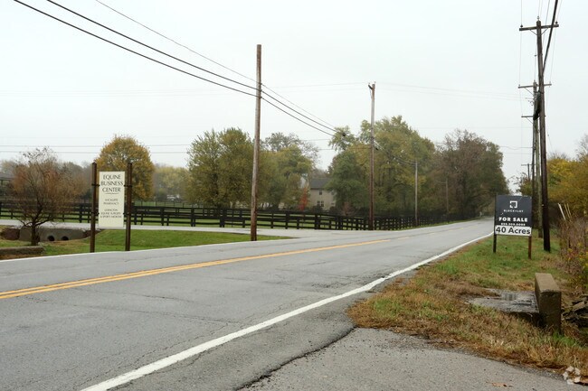
4247 Georgetown Rd
27124500
BOOK: 1452 PAGE: 29
Farms
Fayette
A-R
Kentucky
AE The base floodplain where base flood elevations are provided. AE Zones are now used on new format FIRMs instead of A1-A30 Zones.
114.83 AC
2025
West Lexington/Fayette
2025
Lexington/Fayette
003701
Lexington-Fayette, KY
1,428 SF
NEARBY LISTINGS FOR SALE OR LEASE
DEMOGRAPHICS near 4247 Georgetown Rd
1 mile
3 mile
5 mile
2025 Total Population
476
10,031
52,502
2030 Population
495
10,484
55,172
Pop Growth 2025-2030
+ 3.99%
+ 4.52%
+ 5.09%
Average Age
47
37
37
2025 Total Households
167
3,248
19,562
HH Growth 2025-2030
+ 4.79%
+ 5.36%
+ 5.44%
Median Household Inc
$98,683
$99,972
$79,940
Avg Household Size
2.30
2.60
2.50
2025 Avg HH Vehicles
2.00
2.00
2.00
Median Home Value
$354,999
$289,741
$255,905
Median Year Built
1981
2007
2001
Nearby Places
Map Layers
Map Styles
 Street
 Aerial
Layers
 Traffic
 Biking
Places
Listings with unknown addresses are not visible on the map
- Restaurants
- Banks
- Shops
- Fitness
- Groceries
PUBLIC TRANSPORTATION
AIRPORT
Blue Grass
Drive
Walk
Distance
Blue Grass
25 min
13.8 mi
Nearby Properties
Address
Land Use
TOTAL SIZE
Lot Size
Zoning
Address
Land Use
TOTAL SIZE
Lot Size
Zoning
6,173 SF
301.57 AC
A-R
Address
Land Use
TOTAL SIZE
Lot Size
Zoning
6,462 SF
332.36 AC
I-1
Address
Land Use
TOTAL SIZE
Lot Size
Zoning
24,152 SF
924.40 AC
P-1
Address
Land Use
TOTAL SIZE
Lot Size
Zoning
76,701 SF
14.98 AC
R-3
Address
Land Use
TOTAL SIZE
Lot Size
Zoning
154,374 SF
19 AC
I-1
Address
Land Use
TOTAL SIZE
Lot Size
Zoning
983.49 AC
A-R
Address
Land Use
TOTAL SIZE
Lot Size
Zoning
9.72 AC
R-4
Address
Land Use
TOTAL SIZE
Lot Size
Zoning
48,814 SF
10.99 AC
A-U
Address
Land Use
TOTAL SIZE
Lot Size
Zoning
19,012 SF
82.28 AC
A-R
Address
Land Use
TOTAL SIZE
Lot Size
Zoning
5,830 SF
360.11 AC
A-R
Address
Land Use
TOTAL SIZE
Lot Size
Zoning
105,736 SF
10.31 AC
I-1
Address
Land Use
TOTAL SIZE
Lot Size
Zoning
6,220 SF
269.58 AC
A-R
Address
Land Use
TOTAL SIZE
Lot Size
Zoning
9,045 SF
237.17 AC
A-R
Address
Land Use
TOTAL SIZE
Lot Size
Zoning
1,628 SF
42.25 AC
A-R
Address
Land Use
TOTAL SIZE
Lot Size
Zoning
2,006 SF
418.30 AC
A-R
Address
Land Use
TOTAL SIZE
Lot Size
Zoning
684 SF
74.47 AC
A-R
Address
Land Use
TOTAL SIZE
Lot Size
Zoning
39,866 SF
100.14 AC
A-R
Address
Land Use
TOTAL SIZE
Lot Size
Zoning
8,100 SF
15.70 AC
A-R
Address
Land Use
TOTAL SIZE
Lot Size
Zoning
102,659 SF
13.57 AC
Address
Land Use
TOTAL SIZE
Lot Size
Zoning
33,030 SF
62.30 AC
Address
Land Use
TOTAL SIZE
Lot Size
Zoning
35,367 SF
10 AC
Address
Land Use
TOTAL SIZE
Lot Size
Zoning
2,546 SF
194.13 AC
A-R
Address
Land Use
TOTAL SIZE
Lot Size
Zoning
106.94 AC
A-R
Address
Land Use
TOTAL SIZE
Lot Size
Zoning
9,000 SF
41.91 AC
A-R
Address
Land Use
TOTAL SIZE
Lot Size
Zoning
3,320 SF
147.88 AC
A-R
Address
Land Use
TOTAL SIZE
Lot Size
Zoning
5,284 SF
316.77 AC
A-R
Address
Land Use
TOTAL SIZE
Lot Size
Zoning
6,050 SF
7.12 AC
A-R
Address
Land Use
TOTAL SIZE
Lot Size
Zoning
47,602 SF
10.48 AC
P-1
Address
Land Use
TOTAL SIZE
Lot Size
Zoning
3,075 SF
68.07 AC
A-R
Address
Land Use
TOTAL SIZE
Lot Size
Zoning
5,128 SF
162.44 AC
A-R
The World's #1 Commercial Real Estate Marketplace
Connect with us
© 2026 CoStar Group
The information above has been obtained from sources believed reliable. While we do not doubt its accuracy we have not verified it and make no guarantee, warranty or representation about it. It is your responsibility to independently confirm its accuracy and completeness. Any projections, opinions, assumptions, or estimates used are for example only and do not represent the current or future performance of the property. The value of this transaction to you depends on tax and other factors which should be evaluated by your tax, financial, and legal advisors. You and your advisors should conduct a careful, independent investigation of the property to determine to your satisfaction the suitability of the property for your needs.