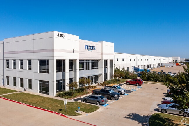
Property Record
4250 Dale Earnhardt Way, Roanoke, TX 76262

Property Detail
4250 Dale Earnhardt Way
Dallas-Fort Worth-Arlington, TX
NORTHPORT ADDN BLK 4 LOT 12
R653850
DENTON
Commercialnec
Texas
B and X Area of moderate flood hazard, usually the area between the limits of the 100-year and 500-year floods.
12
2024
34.50 AC
2025
NE Tarrant/Alliance
020322
Dallas/Ft Worth
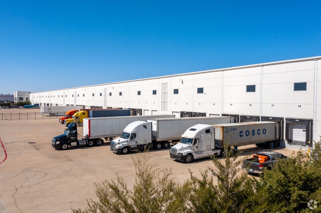
667,152 SF
NEARBY LISTINGS FOR SALE OR LEASE
DEMOGRAPHICS near 4250 Dale Earnhardt Way
1 mile
3 mile
5 mile
2025 Total Population
1,892
24,437
87,733
2030 Population
2,139
27,774
98,358
Pop Growth 2025-2030
+ 13.05%
+ 13.66%
+ 12.11%
Average Age
35
37
37
2025 Total Households
703
8,929
29,342
HH Growth 2025-2030
+ 13.37%
+ 13.95%
+ 12.51%
Median Household Inc
$117,700
$116,986
$130,896
Avg Household Size
2.70
2.70
3.00
2025 Avg HH Vehicles
2.00
2.00
2.00
Median Home Value
$490,944
$526,938
$481,424
Median Year Built
2010
2010
2010
Nearby Places
Map Layers
Map Styles
 Street
 Aerial
Transit
 Traffic
 Biking
Places
Listings with unknown addresses are not visible on the map
- Restaurants
- Banks
- Shops
- Fitness
- Groceries
PUBLIC TRANSPORTATION
AIRPORT
Dallas-Fort Worth International
Drive
Walk
Distance
Dallas-Fort Worth International
26 min
19.0 mi
Dallas Love Field
Drive
Walk
Distance
Dallas Love Field
45 min
32.7 mi
Freight Ports
Port of Shreveport
Drive
Walk
Distance
Port of Shreveport
254 min
232.6 mi
SALE & LEASE HISTORY
LISTING DATE
SALE/LEASE

Sep 26, 2016
For Lease
Oct 09, 2019
For Lease
Mar 17, 2022
For Lease
Jan 21, 2020
For Lease
Jan 14, 2020
For Lease
Aug 20, 2020
For Lease
Nearby Properties
Address
Land Use
TOTAL SIZE
Lot Size
Zoning
Address
Land Use
TOTAL SIZE
Lot Size
Zoning
1,213,448 SF
59.10 AC
Address
Land Use
TOTAL SIZE
Lot Size
Zoning
9,800 SF
1,266.35 AC
Address
Land Use
TOTAL SIZE
Lot Size
Zoning
397,636 SF
41.44 AC
Address
Land Use
TOTAL SIZE
Lot Size
Zoning
921,130 SF
44.75 AC
Address
Land Use
TOTAL SIZE
Lot Size
Zoning
413,316 SF
22.96 AC
Address
Land Use
TOTAL SIZE
Lot Size
Zoning
470,000 SF
11.91 AC
Address
Land Use
TOTAL SIZE
Lot Size
Zoning
495,170 SF
14.02 AC
Address
Land Use
TOTAL SIZE
Lot Size
Zoning
1,217,200 SF
56.35 AC
Address
Land Use
TOTAL SIZE
Lot Size
Zoning
1,037,400 SF
66.56 AC
Address
Land Use
TOTAL SIZE
Lot Size
Zoning
1,251,160 SF
205.71 AC
Address
Land Use
TOTAL SIZE
Lot Size
Zoning
455,935 SF
57.27 AC
Address
Land Use
TOTAL SIZE
Lot Size
Zoning
819,327 SF
143.07 AC
Address
Land Use
TOTAL SIZE
Lot Size
Zoning
442,788 SF
29.38 AC
Address
Land Use
TOTAL SIZE
Lot Size
Zoning
261,836 SF
33.32 AC
Address
Land Use
TOTAL SIZE
Lot Size
Zoning
261,836 SF
51.66 AC
Address
Land Use
TOTAL SIZE
Lot Size
Zoning
1,085,280 SF
68.36 AC
Address
Land Use
TOTAL SIZE
Lot Size
Zoning
1,111,500 SF
59.87 AC
Address
Land Use
TOTAL SIZE
Lot Size
Zoning
1,012,040 SF
58.69 AC
Address
Land Use
TOTAL SIZE
Lot Size
Zoning
478,113 SF
22.86 AC
Address
Land Use
TOTAL SIZE
Lot Size
Zoning
984,910 SF
83.90 AC
Address
Land Use
TOTAL SIZE
Lot Size
Zoning
301,718 SF
18.12 AC
10 G
Address
Land Use
TOTAL SIZE
Lot Size
Zoning
542,880 SF
28.13 AC
Address
Land Use
TOTAL SIZE
Lot Size
Zoning
1,049,614 SF
47.33 AC
Address
Land Use
TOTAL SIZE
Lot Size
Zoning
1,010,969 SF
76.73 AC
Address
Land Use
TOTAL SIZE
Lot Size
Zoning
815,370 SF
41.27 AC
Address
Land Use
TOTAL SIZE
Lot Size
Zoning
783,000 SF
41.56 AC
Address
Land Use
TOTAL SIZE
Lot Size
Zoning
291,475 SF
2.63 AC
Address
Land Use
TOTAL SIZE
Lot Size
Zoning
795,626 SF
44.84 AC
Address
Land Use
TOTAL SIZE
Lot Size
Zoning
728,888 SF
39.67 AC
Address
Land Use
TOTAL SIZE
Lot Size
Zoning
860,100 SF
40.02 AC
The World's #1 Commercial Real Estate Marketplace
Connect with us
© 2026 CoStar Group
The information above has been obtained from sources believed reliable. While we do not doubt its accuracy we have not verified it and make no guarantee, warranty or representation about it. It is your responsibility to independently confirm its accuracy and completeness. Any projections, opinions, assumptions, or estimates used are for example only and do not represent the current or future performance of the property. The value of this transaction to you depends on tax and other factors which should be evaluated by your tax, financial, and legal advisors. You and your advisors should conduct a careful, independent investigation of the property to determine to your satisfaction the suitability of the property for your needs.