Property Record
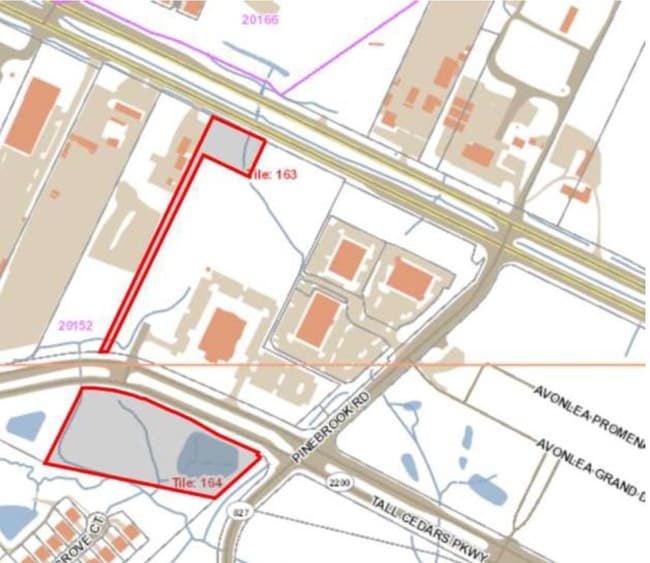
42525 Tall Cedars Pkwy, Chantilly, VA 20152


NEARBY LISTINGS FOR SALE OR LEASE
Property Detail
42525 Tall Cedars Pkwy
Washington-Arlington-Alexandria, DC-VA-MD-WV
Taneja Center
164-46-3942
TANEJA CENTER PARCEL B 202305110017675/6P ST.DEDD 202208180047512/3P SBWV (PCL.B-1)
Publichealthcarefacility
Loudoun
X
Virginia
51107C0370E
b-1
2025
3.80 AC
2025
Leesburg/West Loudoun
611807
Washington, DC
21,313 SF
DEMOGRAPHICS near 42525 Tall Cedars Pkwy
1 Mile
3 Mile
5 Mile
2024 Total Population
13,635
76,597
129,707
2029 Population
14,747
82,794
139,993
Pop Growth 2024-2029
+ 8.16%
+ 8.09%
+ 7.93%
Average Age
34
34
34
2024 Total Households
4,380
22,985
38,931
HH Growth 2024-2029
+ 8.49%
+ 8.24%
+ 8.04%
Median Household Inc
$161,913
$180,168
$185,780
Avg Household Size
3.10
3.30
3.30
2024 Avg HH Vehicles
2.00
2.00
2.00
Median Home Value
$669,247
$714,578
$732,160
Median Year Built
2010
2010
2010
Nearby Places
Map Layers
Map Styles
 Street
 Aerial
- Restaurants
- Banks
- Shops
- Fitness
- Groceries
PUBLIC TRANSPORTATION
AIRPORT
Washington Dulles International
DRIVE
WALK
Distance
Washington Dulles International
21 min
10.6 mi
Ronald Reagan Washington Ntl
DRIVE
WALK
Distance
Ronald Reagan Washington Ntl
48 min
32.3 mi
Freight Ports
Port of Baltimore
DRIVE
WALK
Distance
Port of Baltimore
94 min
68.1 mi
SALE & LEASE HISTORY
LISTING DATE
SALE/LEASE

Nov 09, 2017
For Sale
Jun 26, 2019
For Sale
Nearby Properties
Address
Land Use
TOTAL SIZE
Lot Size
Zoning
Address
Land Use
TOTAL SIZE
Lot Size
Zoning
536,602 SF
117.49 AC
TR3UBF
Address
Land Use
TOTAL SIZE
Lot Size
Zoning
415,477 SF
97.76 AC
TR1UBF
Address
Land Use
TOTAL SIZE
Lot Size
Zoning
222,313 SF
36.21 AC
PDOP
Address
Land Use
TOTAL SIZE
Lot Size
Zoning
48.30 AC
PDIP
Address
Land Use
TOTAL SIZE
Lot Size
Zoning
59.20 AC
IP
Address
Land Use
TOTAL SIZE
Lot Size
Zoning
181,718 SF
10.23 AC
R16
Address
Land Use
TOTAL SIZE
Lot Size
Zoning
303,168 SF
41.95 AC
PDCCRC
Address
Land Use
TOTAL SIZE
Lot Size
Zoning
264,902 SF
60.25 AC
PDH4
Address
Land Use
TOTAL SIZE
Lot Size
Zoning
54 AC
PDTC
Address
Land Use
TOTAL SIZE
Lot Size
Zoning
234,264 SF
66.14 AC
PDGI
Address
Land Use
TOTAL SIZE
Lot Size
Zoning
39.89 AC
PDGI
Address
Land Use
TOTAL SIZE
Lot Size
Zoning
177,740 SF
36.92 AC
TR3LF
Address
Land Use
TOTAL SIZE
Lot Size
Zoning
97,113 SF
15 AC
PDCCSC
Address
Land Use
TOTAL SIZE
Lot Size
Zoning
169,872 SF
33.51 AC
PDH4
Address
Land Use
TOTAL SIZE
Lot Size
Zoning
72.66 AC
PDAAAR
Address
Land Use
TOTAL SIZE
Lot Size
Zoning
108,231 SF
26.10 AC
PDH4
Address
Land Use
TOTAL SIZE
Lot Size
Zoning
108,037 SF
18.49 AC
PDCCSC
Address
Land Use
TOTAL SIZE
Lot Size
Zoning
241,429 SF
9.03 AC
PDH4
Address
Land Use
TOTAL SIZE
Lot Size
Zoning
157,520 SF
29.91 AC
PDH4
Address
Land Use
TOTAL SIZE
Lot Size
Zoning
83,185 SF
10.03 AC
PDH4
Address
Land Use
TOTAL SIZE
Lot Size
Zoning
102,366 SF
49.27 AC
TR3LF
Address
Land Use
TOTAL SIZE
Lot Size
Zoning
102,141 SF
21.91 AC
PDH3
Address
Land Use
TOTAL SIZE
Lot Size
Zoning
94,856 SF
21.29 AC
PDH4
Address
Land Use
TOTAL SIZE
Lot Size
Zoning
116,673 SF
4.88 AC
PDH4
Address
Land Use
TOTAL SIZE
Lot Size
Zoning
167,044 SF
6.54 AC
R16
Address
Land Use
TOTAL SIZE
Lot Size
Zoning
98,876 SF
83.08 AC
PDGI
Address
Land Use
TOTAL SIZE
Lot Size
Zoning
96,490 SF
19.96 AC
PDH4
The World's #1 Commercial Real Estate Marketplace
Connect with us
© 2026 CoStar Group
The information above has been obtained from sources believed reliable. While we do not doubt its accuracy we have not verified it and make no guarantee, warranty or representation about it. It is your responsibility to independently confirm its accuracy and completeness. Any projections, opinions, assumptions, or estimates used are for example only and do not represent the current or future performance of the property. The value of this transaction to you depends on tax and other factors which should be evaluated by your tax, financial, and legal advisors. You and your advisors should conduct a careful, independent investigation of the property to determine to your satisfaction the suitability of the property for your needs.