Property Record
428 9Th St, Port Orford, OR 97465
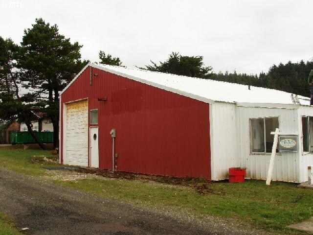


Property Detail
428 9Th St
R10568
ACRES 0.17
Commercialnec
Curry
4C
Oregon
B and X Area of moderate flood hazard, usually the area between the limits of the 100-year and 500-year floods.
0.18 AC
2025
Other Market Areas
2025
Brookings, OR
950100
NEARBY LISTINGS FOR SALE OR LEASE
-
-
View all Port Orford listings for sale on LoopNet.com
DEMOGRAPHICS near 428 9Th St
1 mile
3 mile
5 mile
2025 Total Population
1,192
1,822
2,028
2030 Population
1,142
1,737
1,937
Pop Growth 2025-2030
(4.19%)
(4.67%)
(4.49%)
Average Age
55
55
54
2025 Total Households
630
962
1,059
HH Growth 2025-2030
(4.13%)
(4.68%)
(4.63%)
Median Household Inc
$35,676
$36,509
$37,061
Avg Household Size
1.90
1.90
1.90
2025 Avg HH Vehicles
2.00
2.00
2.00
Median Home Value
$343,038
$342,460
$340,493
Median Year Built
1982
1983
1982
Nearby Places
Map Layers
Map Styles
 Street
 Aerial
Layers
 Traffic
 Biking
Places
Listings with unknown addresses are not visible on the map
- Restaurants
- Banks
- Shops
- Fitness
- Groceries
SALE & LEASE HISTORY
LISTING DATE
SALE/LEASE

Feb 05, 2018
For Sale
The World's #1 Commercial Real Estate Marketplace
Connect with us
© 2026 CoStar Group
The information above has been obtained from sources believed reliable. While we do not doubt its accuracy we have not verified it and make no guarantee, warranty or representation about it. It is your responsibility to independently confirm its accuracy and completeness. Any projections, opinions, assumptions, or estimates used are for example only and do not represent the current or future performance of the property. The value of this transaction to you depends on tax and other factors which should be evaluated by your tax, financial, and legal advisors. You and your advisors should conduct a careful, independent investigation of the property to determine to your satisfaction the suitability of the property for your needs.