Property Record
428 Mcnulty St, Blythewood, SC 29016


Property Detail
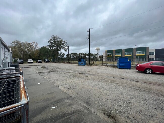
428 Mcnulty St
15200-02-33
183X245.4X120.7X19.9X64.7X23X X214.8 #SU
Commercialnec
Richland
C-3
South Carolina
B and X Area of moderate flood hazard, usually the area between the limits of the 100-year and 500-year floods.
1.02 AC
2025
Northeast Columbia
2025
Columbia
010106
Columbia, SC
12,653 SF
NEARBY LISTINGS FOR SALE OR LEASE
DEMOGRAPHICS near 428 Mcnulty St
1 mile
3 mile
5 mile
2025 Total Population
1,211
11,803
32,485
2030 Population
1,275
12,364
33,848
Pop Growth 2025-2030
+ 5.28%
+ 4.75%
+ 4.20%
Average Age
38
40
38
2025 Total Households
434
4,200
11,599
HH Growth 2025-2030
+ 5.30%
+ 4.83%
+ 4.29%
Median Household Inc
$70,243
$93,510
$95,810
Avg Household Size
2.80
2.80
2.80
2025 Avg HH Vehicles
2.00
2.00
2.00
Median Home Value
$344,491
$347,616
$333,352
Median Year Built
2001
2007
2006
Nearby Places
Map Layers
Map Styles
 Street
 Aerial
Layers
 Traffic
 Biking
Places
Listings with unknown addresses are not visible on the map
- Restaurants
- Banks
- Shops
- Fitness
- Groceries
PUBLIC TRANSPORTATION
AIRPORT
Columbia Metro
Drive
Walk
Distance
Columbia Metro
44 min
28.5 mi
SALE & LEASE HISTORY
LISTING DATE
SALE/LEASE

May 13, 2020
For Lease
Mar 24, 2025
For Lease
Jul 16, 2019
For Lease
Jan 14, 2019
For Sale
Dec 07, 2022
For Lease
Nearby Properties
Address
Land Use
TOTAL SIZE
Lot Size
Zoning
Address
Land Use
TOTAL SIZE
Lot Size
Zoning
18,000 SF
52.20 AC
GC
Address
Land Use
TOTAL SIZE
Lot Size
Zoning
33.32 AC
M-1
Address
Land Use
TOTAL SIZE
Lot Size
Zoning
287.63 AC
D-1
Address
Land Use
TOTAL SIZE
Lot Size
Zoning
65,665 SF
7.03 AC
GC
Address
Land Use
TOTAL SIZE
Lot Size
Zoning
184,000 SF
9.67 AC
M-1
Address
Land Use
TOTAL SIZE
Lot Size
Zoning
23,492 SF
84.58 AC
GC
Address
Land Use
TOTAL SIZE
Lot Size
Zoning
2,740 SF
5 AC
D-1
Address
Land Use
TOTAL SIZE
Lot Size
Zoning
52,568 SF
1.93 AC
D-1
Address
Land Use
TOTAL SIZE
Lot Size
Zoning
41,025 SF
6.80 AC
C-3
Address
Land Use
TOTAL SIZE
Lot Size
Zoning
112,228 SF
20.34 AC
M-1
Address
Land Use
TOTAL SIZE
Lot Size
Zoning
43,988 SF
1.64 AC
D-1
Address
Land Use
TOTAL SIZE
Lot Size
Zoning
112,975 SF
21.20 AC
M-1
Address
Land Use
TOTAL SIZE
Lot Size
Zoning
51,493 SF
2.08 AC
C-3
Address
Land Use
TOTAL SIZE
Lot Size
Zoning
20,760 SF
12.68 AC
GC
Address
Land Use
TOTAL SIZE
Lot Size
Zoning
2,124 SF
231.26 AC
PD
Address
Land Use
TOTAL SIZE
Lot Size
Zoning
56,511 SF
8.16 AC
D-1
Address
Land Use
TOTAL SIZE
Lot Size
Zoning
10.40 AC
RU
Address
Land Use
TOTAL SIZE
Lot Size
Zoning
23.52 AC
M-1
Address
Land Use
TOTAL SIZE
Lot Size
Zoning
33.55 AC
C-3
Address
Land Use
TOTAL SIZE
Lot Size
Zoning
59,248 SF
3.90 AC
TC
Address
Land Use
TOTAL SIZE
Lot Size
Zoning
20,000 SF
2.03 AC
M-1
Address
Land Use
TOTAL SIZE
Lot Size
Zoning
3,454 SF
1.52 AC
C-3
Address
Land Use
TOTAL SIZE
Lot Size
Zoning
14,000 SF
3.31 AC
OI
Address
Land Use
TOTAL SIZE
Lot Size
Zoning
70.10 AC
M-1
Address
Land Use
TOTAL SIZE
Lot Size
Zoning
51,004 SF
12 AC
M-1
Address
Land Use
TOTAL SIZE
Lot Size
Zoning
12,727 SF
14.64 AC
RU
Address
Land Use
TOTAL SIZE
Lot Size
Zoning
13,340 SF
1.97 AC
PD
Address
Land Use
TOTAL SIZE
Lot Size
Zoning
56,674 SF
3.01 AC
C-3
Address
Land Use
TOTAL SIZE
Lot Size
Zoning
11,106 SF
5 AC
RU
Address
Land Use
TOTAL SIZE
Lot Size
Zoning
43,745 SF
5.30 AC
M-1
The World's #1 Commercial Real Estate Marketplace
Connect with us
© 2026 CoStar Group
The information above has been obtained from sources believed reliable. While we do not doubt its accuracy we have not verified it and make no guarantee, warranty or representation about it. It is your responsibility to independently confirm its accuracy and completeness. Any projections, opinions, assumptions, or estimates used are for example only and do not represent the current or future performance of the property. The value of this transaction to you depends on tax and other factors which should be evaluated by your tax, financial, and legal advisors. You and your advisors should conduct a careful, independent investigation of the property to determine to your satisfaction the suitability of the property for your needs.